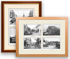
Create Your County Map of Northumberland Print
This superbly detailed map of Northumberland provides an authoritive and fascinating insight into the history and gradual development of our cities, towns and villages. The maps are decorated in the margins by selected Frith photographs from locations in Northumberland. Choose from a range of sizes and frame and mount styles.
Select Size:
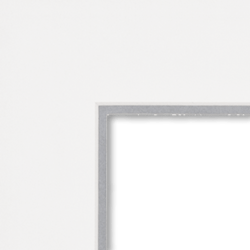
Mount:
Remove mount


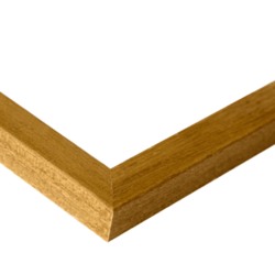
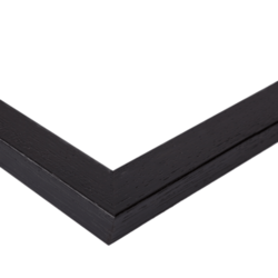
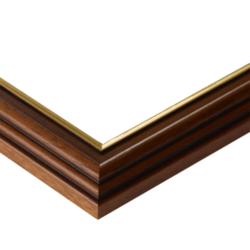
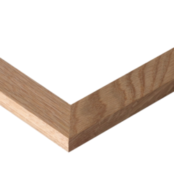
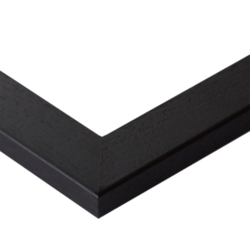
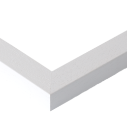
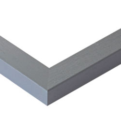
Frame:
Remove frame


Your Map Print
This map features these photos:

Seahouses, the Harbour c1936
Ref. S521027

Farne Islands, St Cuthbert's Chapel, Inner Farne 1933
Ref. F152004

Alnwick, Bondgate and Market Place c1955
Ref. A223017

Newcastle upon Tyne, Grainger Street 1900
Ref. N16314
Guaranteed Quality
We guarantee every single print we make, with no ifs or buts. If you are unhappy with your print for any reason, please get in touch. You can read more on our straightforward guarantee here.
Delivery
Our Express delivery service offers despatch within 1-2 working days. Orders via our Standard delivery service are typically despatched within 5-7 days of reciept of order. You may choose a delivery service at checkout.
Simple Returns
Order with complete confidence: If we've made a mistake with your order please get in touch. Read more about returns here.
Help
Like some help ordering your print? Do get in touch with us here. We're very happy to help in any way we can.
You might also like:
Take a look at our other nostalgic photo gifts and keepsakes.