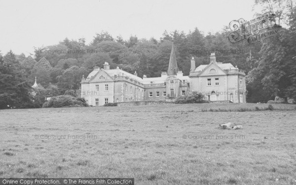
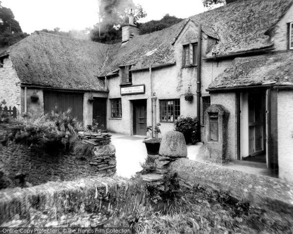
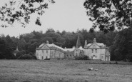
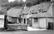
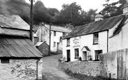
Milton Combe, Devon

Old Photos, Historic Maps, Local History Books and Memories of Milton Combe
Frith photos prompt happy memories of our personal history, so enjoy this trip down memory lane with our old photos, historic maps, local history books, and memories of Milton Combe. Refresh & enjoy your personal memories, or find some that family & friends will love as gifts.
It's free to browse our vintage and retro photographs of Milton Combe, but if some spark good memories they are available to buy in a wide range of products, including framed prints, canvas prints and personalised photo gifts including tea towels, mugs, jigsaws, tableware, cushion covers, customised calendars. Don't miss other visitors' Memories and maybe connect with those who have shared their memories - you may even know the names, or learn more about the locality.

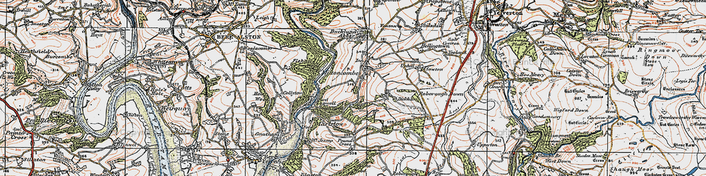
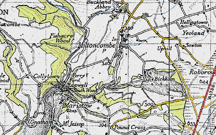
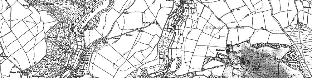
Old Maps of Milton Combe
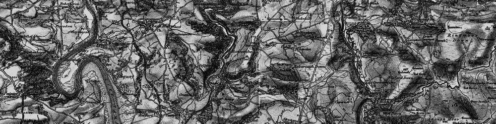
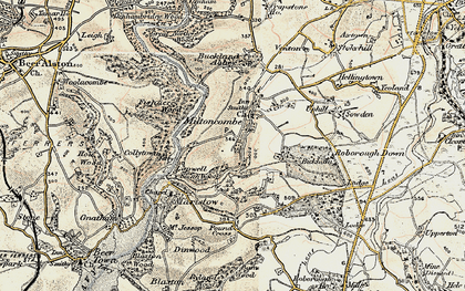
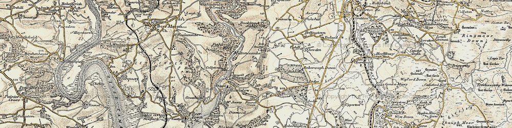
Historic Maps of Milton Combe and the local area.
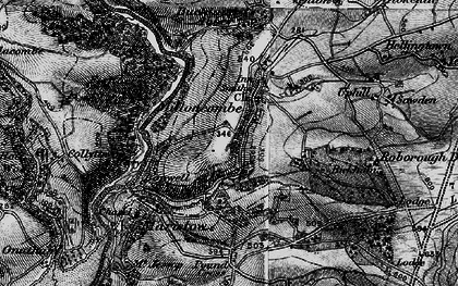
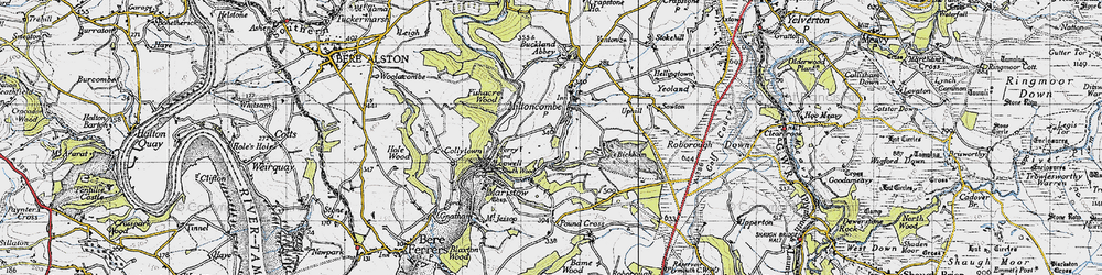
Sheet Maps of Milton Combe
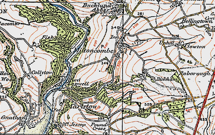
Historic Folded Sheet Maps of Milton Combe and the local area, matching current OS Landranger Sheet Maps.


Memories
of Milton Combe
2 available
Read and share your memories of Milton Combe itself or of a particular photo of Milton Combe.
Business Owner?
Trade discounts available!
please get in touch
with our Customer Services team who will be pleased to help.
For Customer Services call:
01722 716376