Places
2 places found.
Those places high-lighted have photos. All locations may have maps, books and memories.
Photos
3 photos found. Showing results 401 to 3.
Maps
29 maps found.
Books
1 books found. Showing results 481 to 1.
Memories
1,365 memories found. Showing results 201 to 210.
Cissiess Memories
Cissie's memories: I came to Barry in 1900. Holton Road was muddy and planks of wood were put down to enter the shops. We had a shop in 26 Holton Road, and later at the bottom of the block on spare ground Johnson's opened a ...Read more
A memory of Barry in 1900
My First Visit
It was a warm bright sunny day in May when my husband and I came to look at a house in Thorngrafton. What a lovely quiet atmosphere it had, apart from the mooing of the cows on the farm and the sound of the house martins singing ...Read more
A memory of Thorngrafton in 2000 by
Hatches
I remember paddling in the stream and enjoying lazy days of peace and quiet. The hatches were then grazing land with cattle. You then could see the abbey and grounds in the distance, we then watched them dug out and they made way for gravel pits. A little lad drowned in the lakes.
A memory of Frimley Green in 1970
Memories Of A Nurse
I came to work in Sulgrave in the 1980s. I worked for Major George Coombs who lives at Stonecourt on the Hedom Road. My first thoughts of the village were that it was very quiet and that the people were all ...Read more
A memory of Sulgrave in 1981 by
Burns Pit Disaster
From his seat, by the fire, my grandad could see the great mound of the spoil heap of Stanley Burns Pit. It was the site of a horrific explosion, on 16th February 1909, in which 168 men and boys lost their lives. He would ...Read more
A memory of Stanley in 1900 by
Kingsbury Swimming Pool
I remember queuing outside the pool for what felt like hours on a hot summer's day. The price to get in went as low as 1d - or am I mistaken? We used to climb up a drainpipe at the back of the pool to get in, not to save ...Read more
A memory of Kingsbury in 1953 by
Growing Up In The 1950s
Dad was the village policeman, PC 39. Our family name was Moss. We lived outside the village near the T junction to Little Waldingfield (two farm houses, we lived in one of them). Dad, mum and my 4 sisiters. We ...Read more
A memory of Great Waldingfield in 1951
My Dad
Hi, my dad Robert Browning, who had 6 brothers and 2 sisters, lived in Cwncarn and went to school at Cwmcarn and Abercarn, my dad's friend was Tommy Morgan, they had some good times. My dad now lives in Birmingham, but would like to get in ...Read more
A memory of Cwmcarn in 1860 by
Balloon Woods Wollatton
Balloon Woods. Most people says it was a hell hole. Yes some parts of it was. But to a child it was good. There were more quite a few blocks. Some had four floors, these were called Tansley Walk, Bealey Walk, Hartington ...Read more
A memory of Wollaton in 1971 by
Clach Eile Air Achairn
After many years, I came once more to Kiltarlity and saw again the post office, where my late father and his brother grew up. Robert, the elder, became the post master and lived there until his death. Donald, my father, ...Read more
A memory of Kiltarlity in 1990 by
Captions
918 captions found. Showing results 481 to 504.
Can you see the sign of the Noel Arms further down on the left, and the Wheatsheaf on the right? Dulcie Ellingworth was headmistress here.
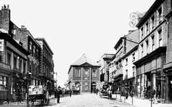
The town developed fast during the 19th century, important industries were brewing - see the brewer's cart on the left - and brick and tile manufacture.
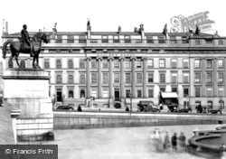
Here we see the equestrian statue of George IV, who was Prince Regent at the time of the Battle of Trafalgar in 1805.
Here we see the Wyre Garage and general stores.
However, on the right we can see the sign of Sale's, the seed merchants, who still occupied premises to the left of The Red Lion.
Through the telegraph pole we can see the roof of the former forge, owned for many years by the Burch family.
We can see the tower of the parish church of St Lawrence, where the minister, William Mompesson, led the sacrifice, in the left background.
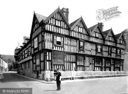
Here we see the front of the Feathers Hotel on the right. The building was erected in 1565, although the top storey was added later.
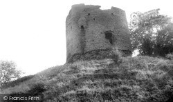
In this photograph it is possible to see the small aperture that would once have been the garde robe, or toilet.
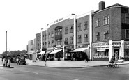
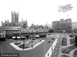
Looking back to the former Empire Hotel, opened in 1901 and a poor counterweight to the Abbey, we see the houses of Terrace Walk on the left, now with ground-floor shops, which faced the Greek temple-style
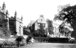
Here we see the ruins of the once luxurious state rooms of Bolsover Castle. It was probably in these rooms that the Duke of Newcastle lavished thousands of pounds on entertaining Charles I.
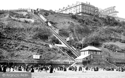
Here we see the Cliff Railway in its entirety. Opened only five years before this picture was taken, the fare was 1d, the old penny being worth about .4 of a post-decimalisation one.
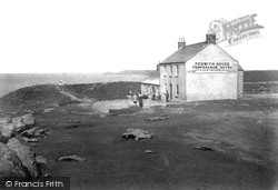
We can see the First and Last House down by the Land's End, while in the far distance is the headland of Cape Cornwall.
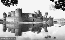
Here we see the castle after its restoration by the Marquis of Bute. The main residential block, including the great hall, was sited along the south side of the inner curtain wall.
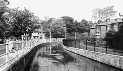
Here we see the River Itchen flowing through Bishopstoke. In 1838, the writer Robert Maudie observed: 'church and the village are beautifully situated, the former close by the bank of the river'.
On the extreme right we can see the chimney of one of the 18th- and 19th-century textile mills which were situated in the valley bottom beside the River Frome; the weavers' cottages occupied
The road is named after the Tontine Hotel, which was built in 1783 to accommodate visitors coming to see the new bridge.
Just behind, at the entrance to St Margaret's Hall, we can see the petrol pumps of Stamper's Garages Ltd. The entrance to the public gardens and former swimming pool and baths is bottom left.
Looking beyond Castle Hill, we see the cliffs around Beer in the distance. This open plain of sea front has since been divided by the sea wall and a modern motor road.
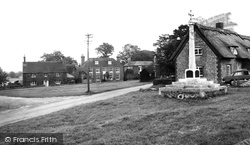
On a clear day you can see the sea from here. This Hampshire village has many trees, windy roads, and the occasional hill. Time has treated this peaceful area well.
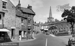
In the background we can see the tower and spire of the 12th- and 14th-century parish church of St Peter and St Paul, which has interior wall-paintings dating from the 15th century.
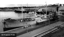
To the left, and above the bow of the tanker Dauphine, we can see the huge lock gates that give access to the Manchester Ship Canal. The canal was opened on 1 January 1894.
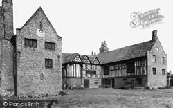
From the south you can see the Hall’s plan clearly, with the central Great Hall behind the three timber-framed gables of Hickman’s 1597 stair and corridor addition.
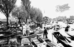
The water seethes with punts, and one of the college barges is in the distance. Many of the latter had a balustraded upper deck and a large flagpole for the college colours.
Places (2)
Photos (3)
Memories (1365)
Books (1)
Maps (29)

