Captions
154 captions found. Showing results 61 to 80.
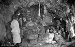
Stump Cross Caverns, on the summit of Greenhow Hill on the road between Pateley Bridge and Grassington, were discovered by lead miners seeking new veins of the then precious ore.
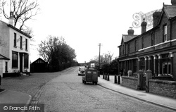
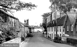
Stone sets pave Town Green, as it leads through the village towards the railway bridge and station.
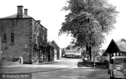
Newer parts to the north - Over End and Bridge End - are not quite so attractive.
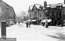
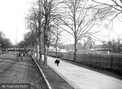
This view looks towards Matlock bridge, and tells of a time when local straw-hatted local people could stand in the middle of the street to have a leisurely conservation.
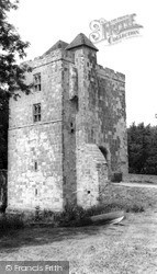
The 'island' formed by the moat is entered over a 16th- century bridge and through a fine 15th-century Wealden sandstone gatehouse, seen here from within the moat; the house is out of view
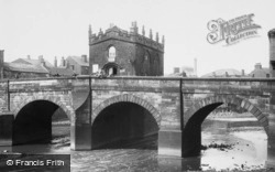
The Chapel of Our Lady standing on Rotherham Bridge dates from the 1480s, and is one of only three such chapels in England.
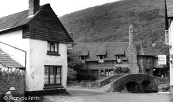
This view of Allerford's much photographed 15th-century packhorse bridge and ford looks much the same today.
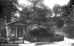
The original Count's House was about 100 yards nearer to Prebend's Bridge and was the home of Count Boruwlaski, a Polish dwarf who stood just 39 inches high.
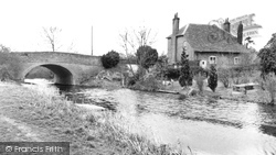
The photograph shows Colt Hill Bridge and the rear of The Bridge House.
During the period of 'Fence Month' - fifteen days either side of midsummer - the lord of the manor was instructed by to keep a watch on the bridge and challenge anyone entering or leaving the New Forest
It is one of two bridges in the village - the other one at Bridge End dates from the 17th century, and features a tiny toll house with a 3½ ft (1m) high doorway.
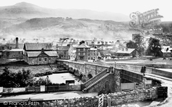
This view, taken from the station, shows the town and Cadair Idris, the River Wnion, the famous 17th-century bridge and tollhouse, and the tower of St Mary's church.
This branch of the river passes through the Mill Brewery, at this time owned by Linolite Limited, and on to the weir by St John`s Bridge and the Avon Mill, eventually joining the other
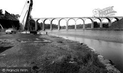
The fine viaduct behind was built across the River Tiddy in 1908 to replace an earlier bridge, and still carries the main line railway.
Baslow, situated 8 miles west of Chesterfield and 12 miles south of Sheffield, was once a part of the parish of Bakewell, but became independent in July 1869, taking with it the hamlets of Bridge End
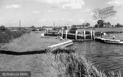
The canal bypasses Fleckney on its eastern side; the photograph looks north east across Second Lock, towards Kibworth bridge and Bridge House, as the waterway winds towards Newton Harcourt
Only in 1781 did the construction, a little way downstream, of Worcester Bridge and New Road provide a direct route.
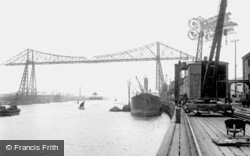
The transporter bridge was designed and built by the Cleveland Bridge & Engineering Co and was opened for traffic in 1911.
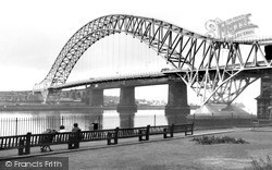
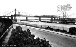
Today the maintenance of the bridge and its approach roads consume about a third of Halton's entire highways budget.
The transporter bridge and the railway viaduct.


