Captions
100 captions found. Showing results 61 to 80.
Until the mid 1930s a fleet of buses known as the Denmead Queens operated in this area, transporting passengers between here and Portsmouth.
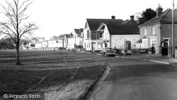
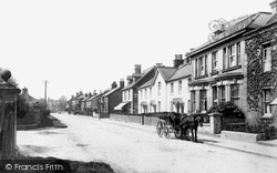
Cowplain developed because of the main road from Portsmouth to London; its name means 'a clearing for cows'.
Rowlands Castle, on the Sussex border, is named after the medieval castle that had been destroyed by the building of the railway running from London to Portsmouth.
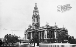
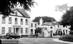
Portsmouth's magnificent Guildhall, one of Hampshire's stateliest civic buildings, was opened in 1890 by the Prince of Wales on behalf of his mother Queen Victoria who was said to be alarmed by the
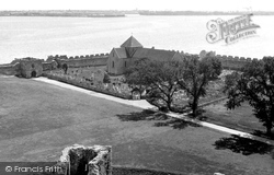
Portchester is one of the largest of the 'Saxon shore' forts, and it was regularly used by kings when they visited Portsmouth.
Portsmouth's magnificent Guildhall, one of Hampshire's stateliest civic buildings, was opened in 1890 by the Prince of Wales on behalf of his mother Queen Victoria who was said to be alarmed by the endless
The name pre-dates the railway era, but it was the large station, used by passengers changing from the Portsmouth to the Brighton line, that really put the place on the map.
Situated on the B2150 between Waterlooville on the A3 and Droxford on the A32, it is only 20 minutes from Portsmouth and 30 minutes from Southampton.
The author and aeronautical engineer Neville Shute lived here between 1934 and 1940 when he worked at Portsmouth Airport.
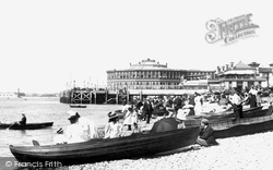
As practically the west-end of Portsmouth, Southsea holds a unique position among watering-places.
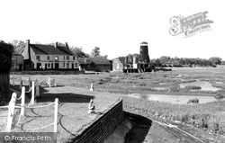
During a French attack on England in 1545, a large fleet of warships anchored off Brading harbour in the hope that the English fleet could be lured out of Portsmouth.
During a French attack on England in 1545, a large fleet of warships anchored off Brading harbour in the hope that the English fleet could be lured out of Portsmouth.
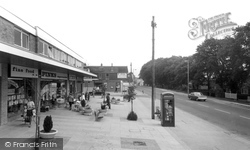
Between 1903 and 1935 Waterlooville and Portsmouth were linked by tram.
Overlooking Portsmouth Harbour and fanned by sea breezes, the church lies inside a Roman fort, which is thought to have been built towards the end of the 3rd century AD.
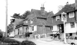
King's Head was built in 1733; not originally a public house, it had a cellar to store stalls for an annual fair held nearby.The Rising Sun on top of the pub sign was a trademark of Brickwoods (Portsmouth
King's Head was built in 1733; not originally a public house, it had a cellar to store stalls for an annual fair held nearby.The Rising Sun on top of the pub sign was a trademark of Brickwoods (Portsmouth
In 1840 he engaged a young Portsmouth architect, Augustus F Livesay, and gave £20,000 for rebuilding the parish church.
Clanfield sits in a valley to the west of the A3, 12 miles north of Portsmouth, and 6 miles south of Petersfield.
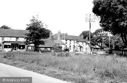
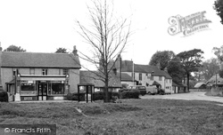
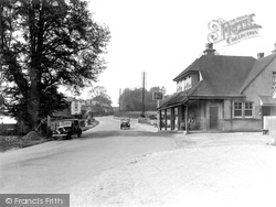
A small village with a common on the Portsmouth to Guildford main road near the Hampshire border.
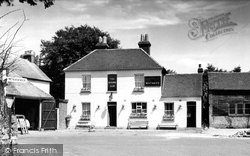
The pub sign is for the Ship, always, it seems, a locals' watering hole as opposed to the other inns and cafes that have catered for travellers on the London to Portsmouth road.


