Captions
233 captions found. Showing results 21 to 40.
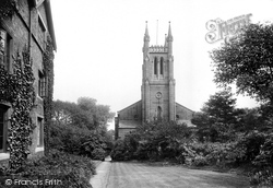
When Holy Trinity became an ecclesiastical parish in its own right in 1841 it included the West Park area, though this was taken away when the boundaries were adjusted in 1908.
The county boundary between Cambridgeshire and Norfolk actually runs along the middle of the river at this point, so the church is in Norfolk, while the pub is in Cambridgeshire!
Only a fragment of the original boundary wall remains in Judges Walk.
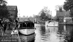
The Waveney forms the boundary between Suffolk and Norfolk, where the boys are fishing.
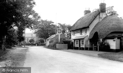
Bransgore, a few miles from Bournemouth, is a beautiful village of considerable antiquity, just outside the present boundary of the New Forest.
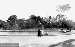
This is not a beautiful scene, but some effort has been put into designing the brick boundary wall, flagpoles and railings.
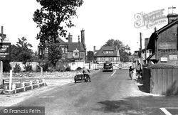
London, Brockenhurst began to expand during the second half of the 19th century and continued to develop in the 20th century, establishing itself as a convenient and pop- ular inland resort within the boundaries
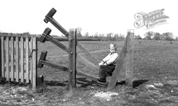
This little lad demonstrates the ingenuity of a stile which maintains the integrity of the field boundary without the need for steps over the fence.
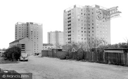
Boundary Street was still a rough road when these flats were new.
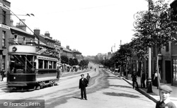
The two streets were once separated by East Gate, the old boundary of Taunton Borough.
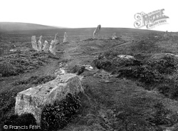
Hence circles and single standing stones also served as waymarkers, and sometimes as boundary markers.
Hence circles and single standing stones also served as waymarkers, and sometimes as boundary markers.
Astonishingly, the plot boundaries, if not the buildings themselves, were established in the late 11th century.
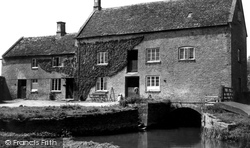
The village had its own mill, Ascott Mill, at one time; Langley Mill, shown here, was outside the village, nudging the Shipton-under- Wychwood border - the River Evenlode marks the parish boundary.
This view gives the impression of a large open area with houses along its boundary.
Although a fair distance from the present limits of the New Forest, Bucklers Hard was certainly within its boundaries at the time of William the Conqueror - there may well have been a small settlement
Many of the lines of old trees in the Carrs are the remnants of old field boundaries, but these trees were planted for their amenity value.
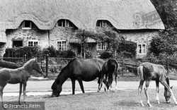
Many of the cottages inside the Forest boundary are of considerable antiquity, being either renovations or replacements of buildings that have stood on the same sites for centuries; it is hard to imagine
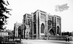
The Bristol diocese was created by Henry VIII in 1542, and comprised eighteen parishes within the city boundaries, fourteen others in Gloucestershire and Abbots Leigh in Somerset.
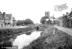
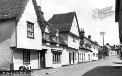
A delightful picture of Bures, a pleasing collection of villages which straddle the river Stour and the county boundary with Suffolk.This picture shows the type of architecture so common hereabouts


