Captions
1,770 captions found. Showing results 141 to 160.
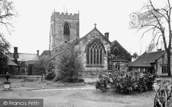
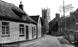
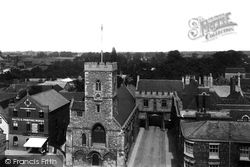
Cobbled Church Street leads to the church of St Michael and All Angels - the parish boundaries once extended to Chorley.
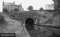
A mile and a half north-east of Daventry, the Grand Junction (formerly the Grand Union) Canal cuts through the limestone ridge via the Braunston Tunnel.
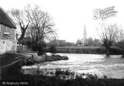
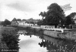
De Vaux Place 1928 On the Salisbury side of Harnham Bridge, De Vaux Place leads to The Close - the Harnham Gate is at the far end of the wall.
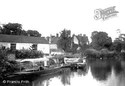
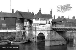
Stevens's Boatyard on the east end of Nag's Head Island also incorporated the landing stage for the Crown and Thistle Hotel in Bridge Street, some hundred yards away from the river.
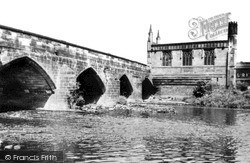
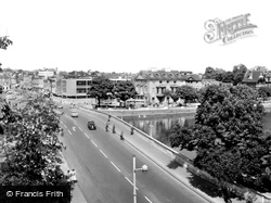
The bridge over the River Calder is no longer the main arterial road from the south, having been superseded by the new bridge of 1933.
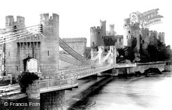
We can see a tower of Stephenson's 412ft-long tubular railway bridge in the centre of the picture.
At the other end of Frimley High Street, we cross the River Blackwater, which is the boundary between Surrey and Hampshire.
Now the Humber Bridge has given Goxhill a new life as a commuter village for Hull, although the part we see here has retained its village feel.
Its 15th- century gateway survives at the end of the short lane with St Nicholas's Church on the left, where monastic workers, market traders and travellers could worship.
The Swan Hotel acquired a multi-level car park to its rear (its first concession to the age of the motor car) and the erstwhile car showrooms at the northern end of Town Bridge were demolished and replaced
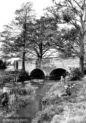
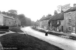
We are looking east towards the bridge over the beck.
The High Street turns north, and it and the town end abruptly at the River Great Ouse, which flows through meadows liable to flooding.
Here Frith's photographer was looking from the east end of Scott's 1864 bridge towards the ridge descending to the flatter land of Burcott and Berinsfield; the east part of the village
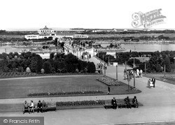
Built to link the Promenade to the attractions of Princes Park, the doubly-named bridge rests on two artificial islands in the Marine Lake.
This is East Bridge, at the eastern end of East Street (far right), looking eastwards from the north bank of the River Asker.
We are looking east towards the bridge over the beck.
This is East Bridge, at the eastern end of East Street (far right), looking eastwards from the north bank of the River Asker.
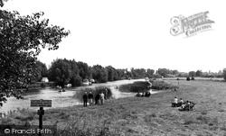
In the 1920s, Tom Richmond's West End Boating Stage offered rowing, Canadian-style skiffs and punts.
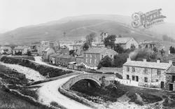
The village of Muker, set toward the western end of the dale, dates back to 1274.
Originally the first of the Cinque Ports, its Saxon harbour had silted up by the late 14th century, ending its role as the chief place of embarkation for the Continent and as England's premier naval


