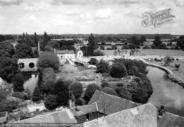
Abingdon, The Bridges From The Church Tower c.1945
Photo ref:
A15013


More about this scene
Here we see the river bridges and Nag's Head island, which separates the main river on the right and the back water on its left. The bridge on the right is known as Burford Bridge and that on the left is Abingdon Bridge. Oxfordshire's boundary was on the right bank with the riverside path until 1974, when Abingdon and north Berkshire became part of Oxfordshire. In the foreground are the roofs of the barns and warehouses of the maltings, evidence of the importance of the river to Abingdon's industrial past.
Add to Album
You must be signed in to save to an album
Sign inShare This Photo
Buy a Print
Unframed, Mounted, Framed and Canvas prints in a range of sizes and styles.
View Sizes & Prices
A Selection of Memories from Abingdon-on-Thames
For many years now, we've been inviting visitors to our website to add their own memories to share their experiences of life as it was, prompted by the photographs in our archive. Here are some from Abingdon-on-Thames
Sparked a Memory for you?
If this has sparked a memory, why not share it here?




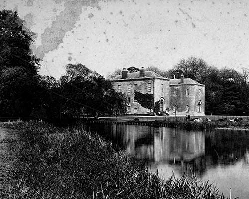 Before
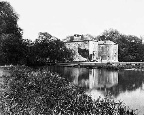 After
After