Old Maps
Stunningly detailed old maps of your home, town & county.
Stunningly detailed old Ordnance Survey Maps Prints, Sheet Maps and Victorian County Maps in a wide range of sizes and styles to suit every budget.
Price $45
Historic Maps
Centred on Your Home
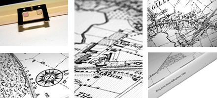
Beautifully detailed prints of first-edition Ordnance Survey maps, hand-drawn between 1840 and 1930. Packed with fascinating, finely-reproduced detail, they cover 2 miles by 1 mile. We can centre the map on your house, or any UK town or postcode you choose. Learn more about the history of your house and your area.
Find Your Historic MapCounty Maps
Traditional Maps Of Your County
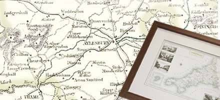
Stunning, full-colour reproductions of hand-tinted original county maps,
created in the 19th century, during the great coaching era for Samuel
Lewis' renowned guidebook.
Each map is embellished with four Frith photos of the county in the
margins.
Old Maps
Related
All Departments
Interior Designer?
Trade discounts available!
Shopping with us
