The Frith Shop

Find out about the products we offer, all of which are inspired by the rich nostalgic photographs and maps that form today's Francis Frith Collection.
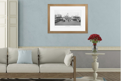
Photo Prints
A nostalgic print from The Francis Frith Collection is special, handmade by us to order and available in a variety of styles and sizes.
Find out more
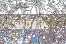
Old Maps
Stunningly detailed old Ordnance Survey Maps Prints, Sheet Maps and Victorian County Maps in a wide range of sizes and styles to suit every budget.
Find out more
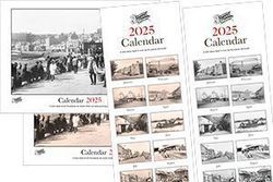
Calendars
Personalised calendars in a choice of black and white or sepia and available in two sizes, all featuring stunning old photos from the Collection.
Find out more
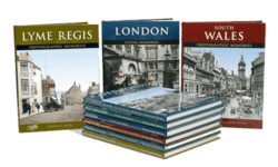
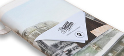
Photo Books
Hundreds of nostalgic photo books about Britain. 10 fascinating ranges to enjoy, lavishly illustrated with our high quality photographs. Most books are now printed to order, so you can personalise your copy.
Find out more
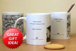
Mugs
Create a mug featuring a favourite nostalgic Frith photo or map of a place that will bring back good memories every time it’s used - great gifts for the coffee and tea lovers in your life.
Find out more
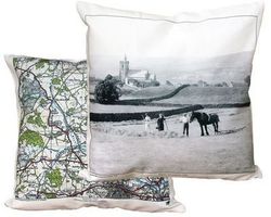
Cushion Covers
High quality cushion covers designed to fit a standard 45 x45 cm (18" square) cushion. A great gift or a wonderful unique addition to your own home decor.
Find out more