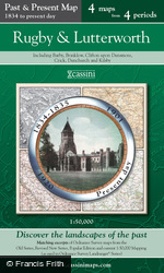
Rugby & Lutterworth Past and Present Sheet Map

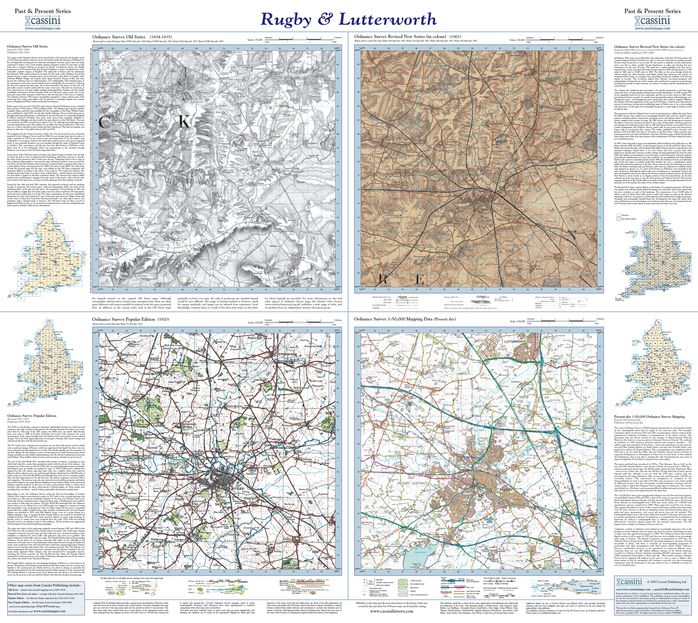
Each Past & Present map is centred on a city or town and covers an area of 15km x 15km using four Ordnance Survey mapping series to cover four different periods: the mid 19th century, the late 19th century, the 1920s and the present-day. All four maps cover exactly the same area. To achieve this, the three historical maps have been enlarged from their original inch-to-the-mile to match the 1:50,000 scale of the present-day one. The addition of the familiar National Grid on all four maps enables easy comparison across the four time periods. Historical notes, details of the original maps used and web-links for local history societies and other sources of information are also provided. All in all, comparing the past with the present has never been easier!
About This Map
- Format:
- Folded Sheet Map
- Map title:
- Rugby & Lutterworth
- Size:
-
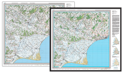
Folded: 13.5cm x 22.5cm (approx. 5" x 9")
Opened: 100 cm x 89 cm (approx. 39" x 35") - Series:
- Past and Present Sheet Maps
- Map year:
- 1834
- Coverage:
- 17 x 10 miles (Approximate)
- Places:
- See covered places
- Map ISBN:
- 978-1-84736-253-7
- Delivery:
-
Printed to order: up to 7-10 working days
Express delivery is unavailable.
Buy flat/framed
This map is also available as a flat sheet with an optional choice of frame too!
Buy Flat, Framed or on Canvas >>


