Merry Christmas & Happy New Year!
Christmas Deliveries: If you placed an order on or before midday on Friday 19th December for Christmas delivery it was despatched before the Royal Mail or Parcel Force deadline and therefore should be received in time for Christmas. Orders placed after midday on Friday 19th December will be delivered in the New Year.
Please Note: Our offices and factory are now closed until Monday 5th January when we will be pleased to deal with any queries that have arisen during the holiday period.
During the holiday our Gift Cards may still be ordered for any last minute orders and will be sent automatically by email direct to your recipient - see here: Gift Cards
Places
36 places found.
Those places high-lighted have photos. All locations may have maps, books and memories.
- Shanklin, Isle of Wight
- Ventnor, Isle of Wight
- Ryde, Isle of Wight
- Cowes, Isle of Wight
- Sandown, Isle of Wight
- Port of Ness, Western Isles
- London, Greater London
- Cambridge, Cambridgeshire
- Dublin, Republic of Ireland
- Killarney, Republic of Ireland
- Douglas, Isle of Man
- Plymouth, Devon
- Newport, Isle of Wight
- Southwold, Suffolk
- Bristol, Avon
- Lowestoft, Suffolk
- Cromer, Norfolk
- Edinburgh, Lothian
- Maldon, Essex
- Clacton-On-Sea, Essex
- Felixstowe, Suffolk
- Norwich, Norfolk
- Hitchin, Hertfordshire
- Stevenage, Hertfordshire
- Colchester, Essex
- Nottingham, Nottinghamshire
- Bedford, Bedfordshire
- Bury St Edmunds, Suffolk
- Aldeburgh, Suffolk
- St Albans, Hertfordshire
- Hunstanton, Norfolk
- Chelmsford, Essex
- Bishop's Stortford, Hertfordshire
- Peterborough, Cambridgeshire
- Brentwood, Essex
- Glengarriff, Republic of Ireland
Photos
2,038 photos found. Showing results 141 to 160.
Maps
25 maps found.
Memories
Sorry, no memories were found that related to your search.
Captions
237 captions found. Showing results 169 to 192.
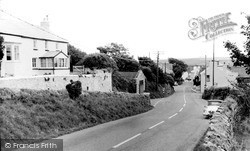
There is a classic three-wheeler car on the right of this photograph.
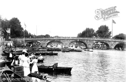
All three views taken by the Frith photographer in 1899 are south of the Regatta course, which from 1886 had its finishing line near Phyllis Court.
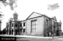
The Town Hall, on the west side of St Paul's Square, started life as a school, a school originally founded by Sir William Harpur (a key name in Bedford's history) in 1566.
It looks north over the wide, flat, formerly marshy valley of the River Arun and the Amberley Wild Brooks, and west to the narrowing valley as the river cuts through the South Downs.
The Shoulder of Mutton Inn, on the extreme left, flanks this view taken from the shoreline.
The university really put Glasgow on the map, although it had a hard struggle to get fully established.
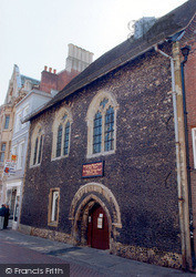
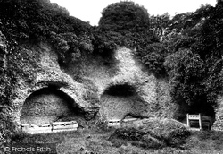
Alec Clifton Taylor said of it that 'like all flint ruins, it is amorphous and wholly unpicturesque'.
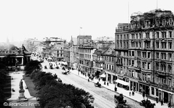
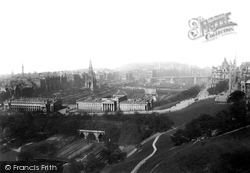
This view looks west along the main thoroughfare of the New Town, with Prince's Street Gardens on the left.
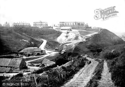
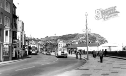
The older part of the town is to the left, with the resort on the cliff in the background.
All the local farming families tried to get back to Alderley for Wakes week in the third week of August.
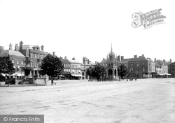
This view shows the main features of the Market Place - the fountain, the Market Cross and the Market Hall. The Market Place is uncharacteristically empty.
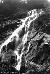
The River Dargle falls down a precipice of about 300 ft, and this has long been a popular spot with sightseers.
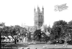
This view of the cathedral from the north side shows sheep grazing in what is now almost the city centre.
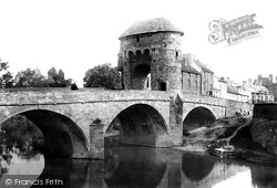
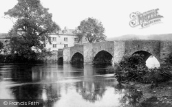
This gate is a Norman structure dating from 1262, and it is a rare example of a fortified gateway on a bridge.
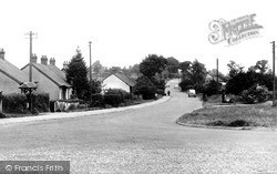
A field known as Joiners Hill on the south corner of St Nicholas Lane at the entrance from High Road is shown on the 1839 Laindon Tithe Map, and it is thought that the route via Laindon High
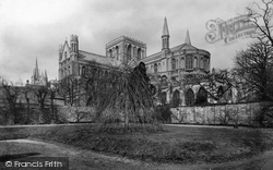
A final view of the Cathedral in all its glory. So much has changed around the world, but St Peter's lives on, looking solid as a rock.
The highly skilled workforce is still here; it is the scale of operations that has been reduced, as the industrial complexes in Barrow-in-Furness have slimmed down to remain competitive and efficient
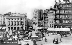
Loafrs of all kinds sit on the steps under Eros. The tradition for oversized hoardings and signboards has already been set.
Much of the large area included in the centre is woodland. Here the ‘camp’ title is well justified by the neatly erected tents, with two people folding ground sheets (left).
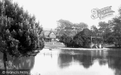
The lake and reservoir have been stocked with trout and coarse fish for the benefit of local anglers.
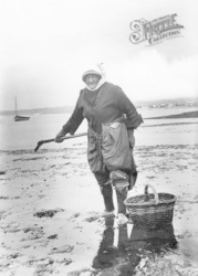
This woman is carrying out another of the Gower Peninsular traditional occupations, cockle picking. Note her unusual dress: loose trousers (or is it a skirt tied at her knees?) and footless socks.
Although the electric trams disappeared in the latter half of the 20th century, Hastings and St Leonards are still easily and best explored using public transport, a bicycle or shanks's pony.
In the foreground are the buildings of the Royal Institute and the National Gallery, with Princes Street on the left behind the Scott Monument. Calton Hill can be seen in the distance.
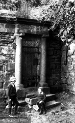
The building, whose simple Doric doorcase we see here, stands near the council offices at the end of Glynne Way, and dates from the 1740s.
Places (6814)
Photos (2038)
Memories (0)
Books (431)
Maps (25)


