Places
36 places found.
Did you mean: downs or doune ?
Those places high-lighted have photos. All locations may have maps, books and memories.
- Bangor, County Down
- Newcastle, County Down
- Greyabbey, County Down
- Donaghadee, County Down
- Downpatrick, County Down
- Portaferry, County Down
- Dromore, County Down
- Downings, Republic of Ireland
- Hillsborough, County Down
- Killyleagh, County Down
- Ardglass, County Down
- Rostrevor, County Down
- Dundrum, County Down
- Newtownards, County Down
- Warrenpoint, County Down
- Ballygowan, County Down
- Ballywalter, County Down
- Ballyward, County Down
- Bishops Court, County Down
- Boardmills, County Down
- Culcavy, County Down
- Katesbridge, County Down
- Killough, County Down
- Millisle, County Down
- Portavogie, County Down
- Saul, County Down
- Seaforde, County Down
- The Diamond, County Down
- Audleystown, County Down
- Kearney, County Down
- Annaclone, County Down
- Ballyhalbert, County Down
- Ballymartin, County Down
- Clare, County Down
- Conlig, County Down
- Dollingstown, County Down
Photos
95 photos found. Showing results 1 to 20.
Maps
Sorry, no maps were found that related to your search.
Memories
Sorry, no memories were found that related to your search.
Captions
16 captions found. Showing results 1 to 16.
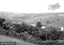
This picture was probably taken just down the road from Penventon Farm.
Even as late as 1957 the 'Royal Daffodil' carried 144,000 passengers down to Margate in a ten-week period.
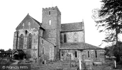
Like many abbeys and monasteries up and down the country, this former Cistercian monastery was dissolved in the reign of Henry VIII.
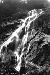
The River Dargle falls down a precipice of about 300 ft, and this has long been a popular spot with sightseers.
The highly skilled workforce is still here; it is the scale of operations that has been reduced, as the industrial complexes in Barrow-in-Furness have slimmed down to remain competitive and efficient
This view looks down Branthwaite Brow towards the River Kent.
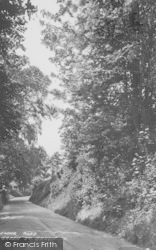
The unsurfaced roads and thickly wooded banks climb down the steep slopes at the end of the Vale of Pewsey.
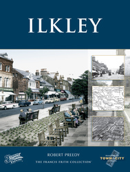
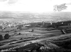
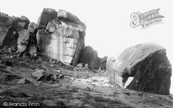
We are now high above the famous Cow and Calf Rocks looking down the eastern side of Ilkley with the Ben Rhydding Hydro dominating the original hamlet of Wheatley, which was renamed once the hydro opened
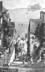
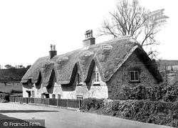
They are set slightly below road level, and are reached by steps down. The thatch remains in excellent condition, and so do the porches. The picket fence has been extended to replace the hedging.
This was indeed once the place where paupers and those down on their luck could seek food and a roof over their head.
It was down Baxtergate that Freeman, Hardy and Willis had their branch. Coal mining was a major employer: Doncaster was ringed with pit villages.
Nearly 5 inches fell; water cascaded down the ghylls dragging huge boulders in its wake, causing over £100,000 worth of damage to Ilkley.
It looks north over the wide, flat, formerly marshy valley of the River Arun and the Amberley Wild Brooks, and west to the narrowing valley as the river cuts through the South Downs.
As the town grew, Digbeth stretched from the High Street down to a small open stream running through the valley bottom.
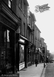
Meanwhile a butcher's boy cycles down the middle of the High Street, a reminder that delivery to the door was expected in 1922.
The tenements could only expand lengthways along their own ‘backsides’, and most buildings had a jumble of outhouses, barns and sheds at the rear.
Places (198)
Photos (95)
Memories (0)
Books (47)
Maps (0)


