Places
36 places found.
Those places high-lighted have photos. All locations may have maps, books and memories.
- Pentre-cwrt, Dyfed
- Pentre Halkyn, Clwyd
- Pentre, Mid Glamorgan
- Ton Pentre, Mid Glamorgan
- Pentre, Powys (near Llangynog)
- Pentre, Powys (near Guilsfield)
- Pentre, Powys (near Bishop's Castle)
- Pentre, Dyfed (near Pontyates)
- Pentre, Powys (near Newtown)
- Pentre, Clwyd (near Mold)
- Pentre, Clwyd (near Ruabon)
- Pentre, Shropshire (near Chirk)
- Pentre, Clwyd (near Hawarden)
- Pentre, Clwyd (near Chirk)
- Pentre, Clwyd (near Ruthin)
- Pentre, Clwyd (near Mold)
- Pentre, Shropshire (near Oswestry)
- Pentre, Powys (near Welshpool)
- Pentre, Clwyd (near Mold)
- Pentre, Shropshire (near Forton)
- Pentre Broughton, Clwyd
- Pentre Gwynfryn, Gwynedd
- Pentre Maelor, Clwyd
- Pentre-clawdd, Shropshire
- Pentre Galar, Dyfed
- Pentre Llifior, Powys
- Pentre-cefn, Shropshire
- Pentre-Gwenlais, Dyfed
- Pentre-Poeth, Dyfed
- Burntwood Pentre, Clwyd
- Pentre Berw, Gwynedd
- Pentre Hodre, Shropshire
- Pentre Llanrhaeadr, Clwyd
- Pentre-celyn, Clwyd
- Pentre Cilgwyn, Clwyd
- Pentre Morgan, Dyfed
Photos
98 photos found. Showing results 2,601 to 98.
Maps
316 maps found.
Books
2 books found. Showing results 3,121 to 2.
Memories
1,253 memories found. Showing results 1,253 to 1,253.
Captions
3,593 captions found. Showing results 3,121 to 3,144.
The town enjoys a prosperity founded on more than its market and agricultural traditions, for engineering works were established here in Victorian times; Dereham grew into one of the busiest centres of
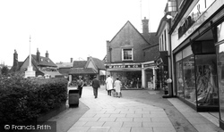
The War Memorial is on the left and left of centre is Halsey's. W Darby & Co, occupying the old St Mary's vicarage, is an electrical retailer.
Left centre, just beyond the van, is a glimpse of the Prince of Wales public house.
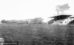
By the date this picture was taken, Doncaster had been a racing centre for nearly three hundred years and had been the home of the oldest classic race, the St Leger, since its first running in 1778.
A fishing village and yachting centre located on a creek of Chichester Harbour. A straight and wide road leading to the quay creates an impression of past importance.
Today Trentham is a leading conference, exhibition, function and leisure centre.
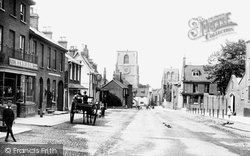
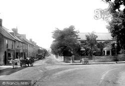
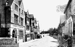
Further along the south side of the street (left of centre) is the Old Inn. West Court is behind the hand-cart.
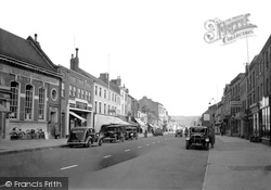
The closest parked cars on each side are Humbers, with a Riley 9 further along the north side of the street (centre).
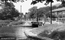
The shop under the blind (left) is no longer a shop, but the white house (centre) is still there. We may be glad that the ugly power line post has also gone.
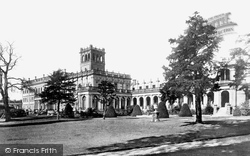
The outline of the three main entrance arches marks the centre of the building.
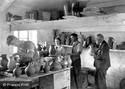
On the right, William Jenkins, the proprietor of Claypits Pottery, holds a jug ready for his nephew Tom Jenkins (centre) to decorate – Tom was to take over the business in 1939.
When the Swan Centre was built, the library moved to occupy a site on the first floor, since when the issue of books has increased and provisions for modern technology have made it a busy place.
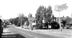
The local stone cottages in the lee of the tree-shrouded parish church (centre) rely on simple, but excellent, details for effect - no incongruous plastic windows and doors here.
The bank is now the Nat West, and beyond the right-hand buildings is the modern Fernbank Shopping Centre.
In the centre of the building is an interesting octagonal lantern with the royal coat of arms above the doorway.
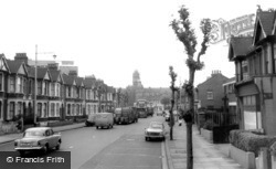
Here we approach East Ham's town centre along the busy North Circular Road, which seems in places merely a casual linkage of suburban roads.
The dome belongs to Antiquarius, the well-known antiques centre, and the vast block of flats in the distance is the 1930s eleven-storey Whitelands House.
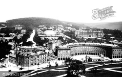
In the centre is the magnificent 154ft diameter dome of the Great Stables and Riding School, at the time the largest unsupported dome in the world, while to the right in the background is the Palace Hotel
Taylors (centre) have a double-fronted shop, a sign that electrical goods and electricians are increasingly in demand. There is a recreation ground (right) and some motor traffic.
The Floral Hall and Theatre complex continue to provide a conference and concert centre of national importance.
The view is south-eastwards to the Bay House Cafe and East Cliff (centre).
The prosperous Georgian feel of the town originates with the presence of the castle and with its role as a market town and agricultural centre.
They were much appreciated until 1972, when a roundabout replaced them at the time of the building of the Arndale Centre.
Behind the conifer is now the Council's Arena Leisure Centre.
Places (57)
Photos (98)
Memories (1253)
Books (2)
Maps (316)


