Places
36 places found.
Those places high-lighted have photos. All locations may have maps, books and memories.
- Cardiff, South Glamorgan
- Barry, South Glamorgan
- Penarth, South Glamorgan
- Rhoose, South Glamorgan
- St Athan, South Glamorgan
- Cowbridge, South Glamorgan
- South Molton, Devon
- Llantwit Major, South Glamorgan
- Chipping Sodbury, Avon
- South Chingford, Greater London
- South Shields, Tyne and Wear
- Ayr, Strathclyde
- St Donat's, South Glamorgan
- Llanblethian, South Glamorgan
- Thornbury, Avon
- Llandough, South Glamorgan
- Fonmon, South Glamorgan
- St Nicholas, South Glamorgan
- Jarrow, Tyne and Wear
- Penmark, South Glamorgan
- Font-y-gary, South Glamorgan
- Maybole, Strathclyde
- Yate, Avon
- Oxford, Oxfordshire
- Torquay, Devon
- Newquay, Cornwall
- Salisbury, Wiltshire
- Bournemouth, Dorset
- St Ives, Cornwall
- Falmouth, Cornwall
- Guildford, Surrey
- Bath, Avon
- Looe, Cornwall
- Reigate, Surrey
- Minehead, Somerset
- Bude, Cornwall
Photos
5,607 photos found. Showing results 301 to 320.
Maps
2,499 maps found.
Books
23 books found. Showing results 361 to 23.
Memories
1,580 memories found. Showing results 151 to 160.
My Childhood
Hi, I was born and raised in Crewe until I was 18 when I joined the WRAF. My school was Brierely St. Secondary Modern School and my maiden name was Chesworth. I have many fond memories of my time there and would love to hear from anyone ...Read more
A memory of Crewe by
The Dumps
My mum and dad owned the Lonsdale off-licence during the 1960s and 1970s. I went to Brampton Manor, a few teachers stick in my memory but Dr Groom has to be the world's best physics teacher. I remember bunking off, walking over the dumps ...Read more
A memory of East Ham by
Elmsleigh School St Polycarp School
Born in Aldershot in 1939 my father worked for a builder in Farnborough, Chuter, and eventually moved to a rented house on Folly Hill. I initially went to St Polycarp but moved to Elmsleigh where both myself and ...Read more
A memory of Farnham in 1945 by
In The House Of The Laird
My parents were 'in service' to the local 'laird' who was Lord Doune, traditionally the eldest son of the Earl of Moray and owner of lands around Doune. Lord Doune owned the beautiful old mansion on the hill 1.5 miles north ...Read more
A memory of Doune in 1948 by
My Dads Shop
I always remember my dad's tuck shop in Idle, we were the end cottage on Albion Road next to the school. I was only 5 years old when we moved away but it's funny how memories, even at such a young age, stay with you. I remember walking ...Read more
A memory of Idle in 1963 by
Growing Up
North Somercotes played a large part in my growing up, I lived with my parents, sister and brother on the Lakeside Lido in St Annes Avenue, next to my friend Cherry Mayfield. I particularly remember when we both had chickenpox ...Read more
A memory of North Somercotes in 1968 by
Small Village Big World
I was also born in Cwm in 1950. We lived there untill the early sixties with my sisters Rhian and Ann. I have just found this web site, and my first impression is how far the children of Cwm have spread over the world. ...Read more
A memory of Cwm by
Liphook
My grandfather was the manager of Smorthwaites, the Chemist, opposite the Anchor Hotel in the middle of Liphook. My mother was born in Liphook and lived in the house next door to the Chemist's on the south. My earliest memory of ...Read more
A memory of Headley Down by
Terrified By White Masses
Hi I was taken to the upper Rhondda valley (Tynewydd) by my mother in 1940 , I was some 9 yrs old. I went to school both primary and secondary (Treherbert boys school). I had lots of cousins. Myself and my cousin ...Read more
A memory of Blaengwynfi in 1940 by
South Street
My dad was stationed at no 1 South Street (old police house) in the year I was born, he was a PC. Then I believe we moved to 1 Almshouse Lane. My mum died in 1952,leaving behind my young sister and me and my dad. Dad eventually ...Read more
A memory of Ilchester in 1947 by
Captions
2,476 captions found. Showing results 361 to 384.
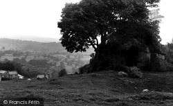
Winster Rocks, also known as Wyns Tor, are an outcrop of Dolomitic limestone to the south of the village, on what is now a long distance footpath known as the Limestone Way.
Ore was taken to the smelters of South Wales, and the same ships returned with coal to power the mines.
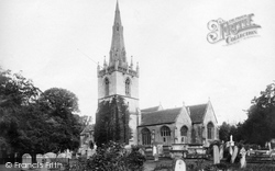
The south, or Tropenell, chapel is Perpendicular, as is the chancel arch and the tall north chapel.
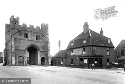
The East Gate to the town was demolished in 1800, but the old South Gate on the road from London still stands.
Tramcar No 23 trundles along Clifton Drive South on its way to Lytham. The paving blocks between the tracks were made from white wood, balastic lava or jarrah.
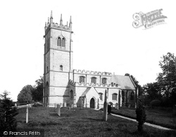
The church was extended in the 1480s with the addition of the tower, south aisle and clerestory.
Two miles south of Bulbarrow, one of Dorset's highest summits, Hilton and neighbouring Milton Abbas share some of the most beautiful countryside in the county.
This picture shows the River Ebble and the A354 Blandford Road running side- by-side through the village of Coombe Bissett, a couple of miles south of Salisbury.
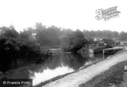
The construction of the Basingstoke Canal in 1794 cut through the castle's outer defences to the south.
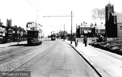
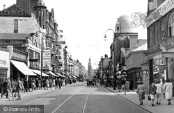
Another view south down North End taken just over half a century after picture No 38651. Now the tram lines have been doubled, and buses have appeared.
When the Sheffield & South Yorkshire Canal was modernised in the early 1980s, several locks were re-sited and enlarged, and this was one of them.
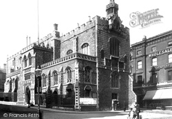
The seat of the medieval governance of the city, the Guildhall was built in 1407-13, but 1930s demolition in the market area has exposed the mainly Victorian south elevation to general view.
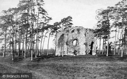
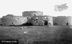
Isolated in the flat fields south of Rye, Camber Castle, one of Henry VIII's coastal forts of the 1540s, is now over a mile from the retreating sea: well beyond Tudor artillery range.
Farington is a parish in South Ribble Borough.
Two miles south of Bulbarrow, one of Dorset's highest summits, Hilton and neighbouring Milton Abbas share some of the most beautiful countryside in the county.
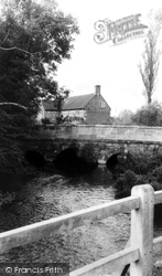
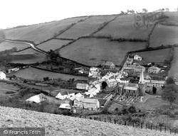
The main road towards South Molton is plain to see.
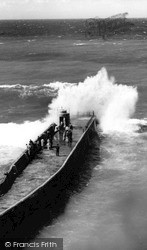
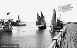
The South Pier, which forms the southern part of the harbour, and from where this picture was taken, was a popular stroll for holidaymakers.
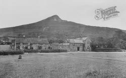
Seven miles south west of Saltburn is Roseberry Topping, which rises to 1,057ft above sea level.
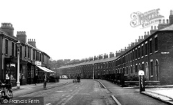
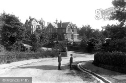
The two boys are posing at the south end of Highbridge Road near the junction with Belle Vue Road.
Willington stands on the Trent and Mersey Canal in the Trent valley to the south of Derby.
Wareham is seen here from South Bridge, looking westwards to the banks of the Anglo-Saxon Town Walls and Castle Close (centre right), built by Edward Seymer Clark on the footings of a Norman fortress
A small village just south of Devizes, Potterne still has some famous and wonderfully ancient buildings. It was once a manor of the Bishop of Salisbury.
Firle, tucked beneath the South Downs and the 718ft-high Firle Beacon, has been the Gage family home for 500 years.
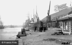
South Dock opened in 1859, followed by the Prince of Wales Dock in 1891 (extended in 1898) and the King's Dock in 1904.
Places (15471)
Photos (5607)
Memories (1580)
Books (23)
Maps (2499)


