Places
Sorry, no places were found that related to your search.
Photos
Sorry, no photos were found that related to your search.
Maps
7,034 maps found.
Books
163 books found. Showing results 3,937 to 3,960.
Memories
22,912 memories found. Showing results 1,641 to 1,650.
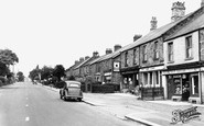
White City/Newburn Road.
We came to live at 12 Hewley Crescent in 1950. My gran, Mrs Knight, lived on Newburn Road, at that time she only had gas lighting and cooking. She had electricity installed in 1955 for the FA Cup on TV, she had a ...Read more
A memory of Throckley in 1950 by
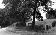
This Stile
I was seven when we moved to Wordsley and we lived at 3 Hope Street. I remember walking up to this stile many times, with my mum and brother, and later when I came up here to play in the woods on my own with friends. Many times when we ...Read more
A memory of Wordsley in 1955
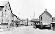
Caerau Square
Looking at this photo of the Square at Caerau brings back some happy memories of when the steam train would pass over the bridge in all its glory with the steam coming out of its funnel. The big billboard before the bridge was the ...Read more
A memory of Caerau in 1955 by
Military Parachuting At Watchfield
I was in the RAF at Abingdon on two different postings during 1963/4 and 1967/69 and very often did detachments to the Parachute training school drop zone at Weston on the Green as the aircraft controller. In ...Read more
A memory of Watchfield by
Cullys Farm
My grandfather farmed Cullys Farm in the early decades of the last century and I believe so did his father and grandfather. My grandfather had 7 children and took in my great-uncle's children when their father Willam Fishlock ...Read more
A memory of Clench Common in 1930 by
Orange Hill Girls Grammar School
After passing the 11+ at St Johns School, Milton Road, West Hendon, I attended Orange Hill from 1947. I had quite a journey, having to take the trolleybus along the Edgware Road then a walk down the Watling ...Read more
A memory of Burnt Oak by
I Lost My Dad When I Was 3 And We Had To Leave
My name was Pat Barringer then. My dad was burned in a lorry in 1949, he lived for about 6 months and then died, I have no memories at all as I was too young, does anybody remember the name Barringer? My mum was Beryl and my dad was Bert. I also have a sister who was 18 months at the time.
A memory of Buckhurst Hill in 1949 by
Ice Cream
Reading your comments about Salford Gone and the ice cream man brought back similar memories to me. I was born at 34 Nora Street, Salford 7 in 1950. Albeit Lower Broughton. However, we used to have an Ice Cream seller who came EVERY ...Read more
A memory of Salford in 1950 by
My Mum And Uncle
Hi, my mum and uncle went to Perrins too, their names are Jean Smith and Dennis Smith, my mum was there between 49 and 54 and uncle 57 and 62, my auntie worked at Broadway garage.
A memory of New Alresford
The Day A Lorry Drove Into Nellie Englands Cottage
Do you remember the bridge at the beginning of Hithermoor Road (near the rec). It was really high and every car BUMPED over. One day a lorry lost control and ended up in Nellie England's garden (Southern Cottages) !!
A memory of Stanwell Moor by
Your search returned a large number of results. Please try to refine your search further.
Captions
9,654 captions found. Showing results 3,937 to 3,960.
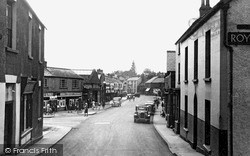
Newerne Street is Lydney's main shopping area; it has undergone a great deal of redevelopment since this photograph was taken.
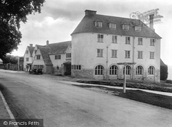
Now known as the Bear of Rodborough, this has been a stopping place for centuries, and played an important part as a collecting point for carrier services in this area of steep hills.
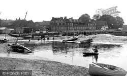
Blakeney only really began to become popular as a tourist and holiday destination from the mid 1920s.
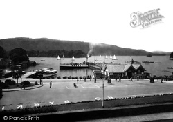
The steamer 'Swift', launched in 1900 as the then largest boat on the lake, sits at the end of the pier, whilst a cluster of yachts, possibly racing, passes between the boat station and
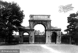
Below the memorial inscription over the main arch, the Royal Engineers' motto 'Ubique' ('Everywhere'), flanks the Latin inscription 'Quo Fas Et Gloria Ducant' ('Whither Right and Glory Lead').
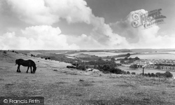
In 1933, 70 acres of chalk downland were acquired by Chatham and Gillingham councils to create this beautiful open countryside nature reserve between the two towns.
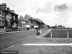
Wollaston Road leads off The Strand to the left. Next to it is the Boatman's Reading Room, the Strand Boot Stores, and the Walmer Stores.
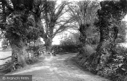
This lane leads down to the Flatford Mill complex, now owned by the National Trust.
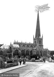
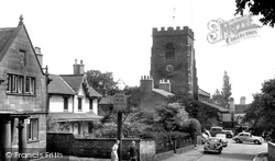
Arthur Mee was impressed by this church, and in his King's England series he wrote that the spire is 'a striking spectacle with three bands of panelling round it' and marvelled at its 'embattled
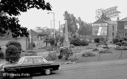
The gardener is busy at work in this small garden beside the main road in the middle of the village, which contains a memorial to those of the village who lost their lives in two world wars
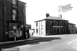
The post office, the Green Dragon and, opposite, the New Inn, overlook the cross-roads at the centre of the village. Galgate's inns once played a part in nominating the village 'mayor'.
Horndon has historical footnotes to make it both proud and ashamed. Firstly, the Shaa family, who owned land here, produced two Mayors of London.
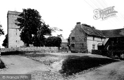
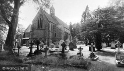
This church stands in an area with a long-standing Christian heritage: it is recorded that in 314 the Bishop of Caerleon was present at the Synod of Arles, the first general council of western Christianity
Close by stands Lickey Grange, the former home of Lord Austin (1866-1941), who founded the nearby Longbridge car factory in 1905.
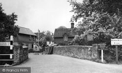
This bridge over the River Rib was built by Charles Gray in October 1852 at a cost of £95. In 1994, it was found to be unsafe and was totally rebuilt.
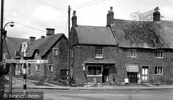
Since the 1960s this village has grown quite substantially, mainly to accommodate workers from Banbury, 3½ miles away.
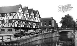
This is part of the riverside group of medieval buildings which also includes the Witch and the Wardrobe, which is next door.
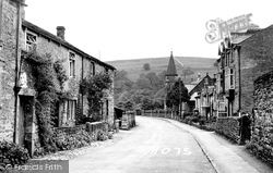
Rose-clad cottages line the road in Burnsall, lying in the heart of Wharfedale where the drystone walls spread like a net over the fells, as we can just see in the background.
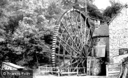
Water power played an important role in the development of the factory system, for it was harnessed to drive machinery in cotton and woollen mills alike.
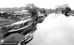
The intended junction for the Staffs & Worcs Canal and the River Severn was to have been at Bewdley, but the locals objected.
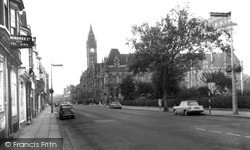
The property on the left is of particular interest, because in about 1970 a large section of the older central Middlesbrough buildings was flattened to create the first major shopping mall - the Cleveland
Grappenhall, or 'Gropenhale' (as it was then called), has the distinction of being recorded in the Domesday Survey of 1086.
Lady Daresbury took great pride in developing botanical gardens at Walton with specimen planting in the style of Kew; thousands of local people enjoyed visiting them on annual open days.
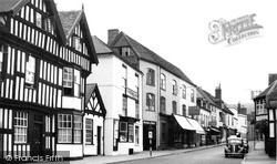
Just behind the road sign is an entrance to the Feathers Hotel, once an important coaching inn linking the town with Hereford, Worcester, Gloucester and on to London.
Places (0)
Photos (0)
Memories (22912)
Books (163)
Maps (7034)


