Places
36 places found.
Those places high-lighted have photos. All locations may have maps, books and memories.
- Shanklin, Isle of Wight
- Ventnor, Isle of Wight
- Ryde, Isle of Wight
- Cowes, Isle of Wight
- Sandown, Isle of Wight
- Port of Ness, Western Isles
- London, Greater London
- Cambridge, Cambridgeshire
- Dublin, Republic of Ireland
- Killarney, Republic of Ireland
- Douglas, Isle of Man
- Plymouth, Devon
- Newport, Isle of Wight
- Southwold, Suffolk
- Bristol, Avon
- Lowestoft, Suffolk
- Cromer, Norfolk
- Edinburgh, Lothian
- Maldon, Essex
- Clacton-On-Sea, Essex
- Felixstowe, Suffolk
- Norwich, Norfolk
- Hitchin, Hertfordshire
- Stevenage, Hertfordshire
- Colchester, Essex
- Nottingham, Nottinghamshire
- Bedford, Bedfordshire
- Bury St Edmunds, Suffolk
- Aldeburgh, Suffolk
- St Albans, Hertfordshire
- Hunstanton, Norfolk
- Chelmsford, Essex
- Bishop's Stortford, Hertfordshire
- Peterborough, Cambridgeshire
- Brentwood, Essex
- Glengarriff, Republic of Ireland
Photos
11,145 photos found. Showing results 5,101 to 5,120.
Maps
181,031 maps found.
Books
442 books found. Showing results 6,121 to 6,144.
Memories
29,069 memories found. Showing results 2,551 to 2,560.
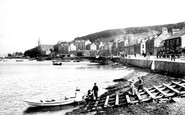
Old Port Bannatyne
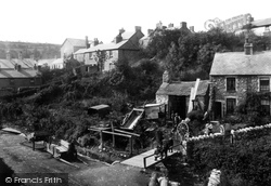
This is a favourite view of photographers taken from McIntyre's Boatyard. In the distance you can see St Bruoc's church which burnt down in 1956. In the foreground is a boat hiring station, one of three in the village. ...Read more
A memory of Port Bannatyne by
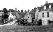
The Marlborough
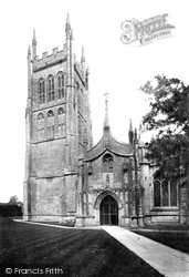
The white building in the picture below the church tower was the Marlborough pub. During the war through till the early 1950s my grandmother and grandfather were licencees and my father was brought up there. I have a picture of ...Read more
A memory of Charlbury in 1940 by
Spaldwick Windmill The Belton Family
The Belton family has a long association with Spaldwick as millers, witnessed by a hill being in the family name, (O.S. map 153), just north of the village. My mother's sister Violet Bass, from nearby ...Read more
A memory of Spaldwick in 1955 by
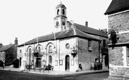
193940 School Days
I remember the Town Hall at Cowbridge. In those days there was no one way system around it like today. The school boy interest was the Merryweather Fire Engine that was kept in a garage at the side of the Town Hall. Great fun ...Read more
A memory of Cowbridge in 1940 by
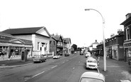
St. George's Presbyterian Church
St. George's Presbyterian Church stands in the forefront of this photograph between what was the Co-operative shop and Tommy Jones the fishmongers shop. How long the Presbyterian Church has stood on this site ...Read more
A memory of Little Sutton in 1972 by
The Norfolk Family
I am John Howard Norfolk and although I have never lived in Yorkshire I know that my Norfolk family were farmers, millers and tanners in Harewood and nearby Wharfedale villages for many hundreds of years until the late 1800's. ...Read more
A memory of Harewood in 1860 by
Nanny Blake/Baker
Spring Lane where Edith Baker lived and helped with the birth of many of Bishopstoke's babies. I would love to receive stories of her.
A memory of Bishopstoke by
I'm Still Owed Ten Shillings!
I remember the inside of the Baptist Chapel as I attended regularly from the age of 5 until my early teens. A Reverand Exall and a one-armed man called Mr. Chapman were in charge. On Anniversaries they used to ...Read more
A memory of Melton Mowbray by
Home Sweet Home
I first found the hamlet of Llanelian some 15 years ago after visiting Anglesey on a regular basis for the last 25 years. I found the peace and quiet of the area very pleasant. The walks are refreshing and the views from Porth ...Read more
A memory of Llaneilian by
Happy Days
i was born in Algers Road, Loughton in 1942 and moved to Chigwell in 1944, then back to Buckhurst Hill in 1947. My dad worked as a lorry driver for W.C.French. My brother Chris and friends used to walk up to Buckhurst Hill High ...Read more
A memory of Buckhurst Hill in 1947 by
Your search returned a large number of results. Please try to refine your search further.
Captions
29,395 captions found. Showing results 6,121 to 6,144.
Eanulf, grandfather of King Offa of Mercia, founded a monastery at Bredon, though nothing of it is to be seen.
Weymouth's Nothe Gardens are beautifully situated on a headland overlooking the Isle of Portland and are the site of Nothe Fort, built to guard the huge naval harbour between the mainland and the Isle.At
The wheelwright in Old Colwyn was always busy making and repairing wheels and carts, as an inspection of the picture reveals.
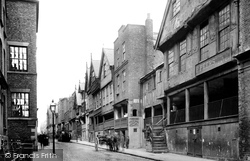
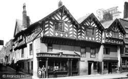
Watergate Street is said to contain three of the finest examples of half-timber buildings still standing.
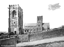
St Hilary's is one of only eight churches in the country dedicated to the saint. The lone tower dates back to the rebuilding of the 1530s, the rest of the church having been demolished in 1760.
An estate village of Hollycombe, a Tudor- style house of c1900. Chapel Common has a quaint 16th-century chapel in a wood, with a new church of St Luke built nearby in 1878.
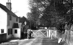
A soldier stands to the right of the gate. The post box and telephone box must have been well used by residents at the camp.
A view of the south porch. St Andrew's Church was built in the latter part of the 15th century of oolitic limestone in the Perpendicular style.
He was later to die in 1712 as a result of a duel with the Duke of Hamilton.
In 1911 Reading formally absorbed much of Tilehurst, which had already in effect become a suburb of the town.
Through much of the Tudor period the Taylor family lived there, but in 1582 John Taylor found himself in debt, and he had to sell the lease to Henry Middlemore. The price was £1,318.
Previously a journey from London to Portsmouth entailed one of two options: to go to Croydon and then to Brighton, with a change there onto the South Coast line to Chichester and Portsmouth, or
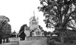
Whippingham village lies close to Osborne House, and Victoria's consort Prince Albert had a hand in the extraor- dinary design of the church.
The Whitchurch Tollbridge Company was established in the 18th century: a distinctive Victorian bridge of lattice ironwork spans the Thames between Whitchurch and Pangbourne, one of only two remaining toll
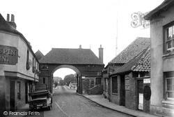
On the left of this photograph of the Barbican is the Crispin Inn – St Crispin was the patron saint of cobblers and shoemakers.
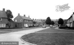
This post-war council development can be dated by the medallions which were set into the front brickwork at the time of building.
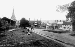
An evocative view of wide shaggy grass verges, children and deserted roads characterises this view of Forest Row, the Ashdown Forest village that grew up on the site of Royal hunting lodges.
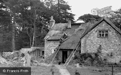
Here the workmen are carrying out their highly-specialised craft surrounded by the tools of their trade. Note the bundles of thatch standing to the left of the picture.
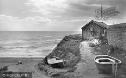
Thousands of coastal footpath walkers cross here by the stepping stones. On the right are a pile of fishing nets in front of the fishermen's hut.
The inn on the corner of Lower Bridge Street and Shipgate Street was in need of urgent repairs.
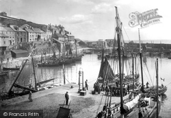
A two-masted sailing trader is moored alongside the quay in the inner harbour, while a group of men has gathered around a catch of fish.
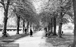
Victoria Park lies to the east of Newbury town centre and covers an area of seventeen acres.
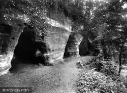
The soft rock cliffs above the Severn led to the creation of many caves. Some of these were enlarged and used as dwellings until quite recent times.
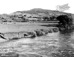
The castle and the south-eastern approaches to the town present an illusion of island tranquillity, stretching from the wide waters of the Usk through the cattle-filled Castle Meadows to the wooded slopes
Places (6814)
Photos (11145)
Memories (29069)
Books (442)
Maps (181031)


