Places
17 places found.
Those places high-lighted have photos. All locations may have maps, books and memories.
- Bridge End, Oxfordshire
- Bridge End, Lincolnshire
- Bridge End, Essex
- Bridge End, Bedfordshire
- Bridge End, Clwyd
- Bridge End, Warwickshire
- Bridge End, Surrey
- Bridge End, Durham (near Frosterley)
- Bridge End, Northumberland (near Hexham)
- Bridge End, Hereford & Worcester (near Tirley)
- Bridge End, Hereford & Worcester (near Bosbury)
- Bridge End, Shetland Islands
- Bridge End, Cumbria (near Carlisle)
- Bridge End, Northumberland (near Hexham)
- Bridge End, Devon (near Kingsbridge)
- Bridge End, Devon (near Sidmouth)
- West End, Yorkshire (near Pateley Bridge)
Photos
40 photos found. Showing results 701 to 40.
Maps
520 maps found.
Books
2 books found. Showing results 841 to 2.
Memories
1,928 memories found. Showing results 351 to 360.
Not The Ford...
Photograph number 7 of 9 is labelled as The Ford. It was in fact Middle Path which ran from Brook Street in Edlesborough up to Harling Road, Eaton Bray. I used to go fishing for tiddlers there and had fallen in on more than one ...Read more
A memory of Edlesborough by
75 Crwys Crescent
My name is Paul Griffiths and I lived at the above address from 1942 until 1951 when my parents moved to Braintree, Essex. Some of the fondest memories of my childhood were spent at Upper Boat and we lived at the last house in ...Read more
A memory of Upper Boat by
Ben Rhydding
I moved to Ben Rhydding at a year old and grew up there with my brother and sister. We loved living there, exploring the river and the moors. I distinctly remember the large detached house Thornycroft when it was still owned by a wealthy ...Read more
A memory of Ilkley by
Farningham Homes For Boys
Hi my name is Bryan Hall, but when I was born it was Bryan Daniels. Because of my mothers persnal difficulties I was taken in by the Surrey County Council aged three months being put into council care. In 1945 I was ...Read more
A memory of South Darenth by
My Dad Was A Train Driver.
I grew up and lived in Durham Road, Feltham. From 1952 to 1971. Went to Cardinal Road infants school from 1957 - 1959. 1959 - 1963 Hanworth Road Junior School, 1963 -1967 Lafone Secondary School for Girls. Boundary ...Read more
A memory of Feltham
More Memories Of Bredbury
I was born at 83 Kingsway in August 1952 at my grandparents' home. My mother was Joan Carter (nee Harrison) who was born in Bennett Street, Ardwick, Manchester and my father was Brian Carter who was born in Rotherfield ...Read more
A memory of Bredbury by
Born In Blackhill
I was born at 23, St George's Place, Blackhill in 1951. My name was Valerie Wyporski and I had a brother, Leslie who went to Tin Mill School. My dad was Polish and was a painter for the coal board. He was known as 'Fred'. My ...Read more
A memory of Blackhill by
Ted's Tuckshop
Lovely reading memories of Mitcham! Born in 1950 lived in 33 Westmoreland Square, Pollard's Hill , vivid memories of Ted's pale blue tuckshop and my mum sending me to buy 6 fags and a packet of tea! Playing on the swings next to our ...Read more
A memory of Mitcham by
Geddes The Chemist
In the late 1950's I had an after school/Saturday job with Geddes. I had a pushbike with a basket and used to deliver medicines around Three Bridges & Worth; In addition I used to wash bottles, as in those days liquid ...Read more
A memory of Three Bridges by
Captions
1,770 captions found. Showing results 841 to 864.
The gatehouse and gardeners' cottages on the approach to Errwood Hall at Goyt's Bridge in the Goyt Valley.
The River Leam and All Saints' Church from the suspension bridge.
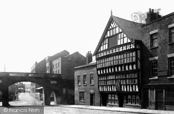
The Bear and Billet public house in Lower Bridge Street was built in 1664. At some time during the 19th century the pub frontage has been modified so that there are continuous windows on two floors.
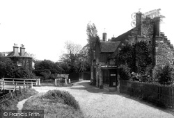
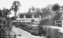
On the banks of the Little Stour, whose waters flow peacefully under the bridge on the left, the small general stores and post office on the right served this little hidden village with its 18th- and 19th-century
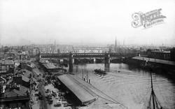
This overhead view of the Broomielaw area of the city shows the George V bridge in the foreground.
The Clydach River is a tributary of the Usk, and joins it between Abergavenny and Crickhowell.
The Grand Western Canal was part of a grandiose scheme to link the Bristol and English Channels between Taunton and Exeter. There were to be three branches, one of which was Tiverton.
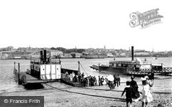
Torpoint is actually in Cornwall, and its ferry still makes regular journeys across the Tamar, taking workers across to Devonport Dockyard and the City of Plymouth.
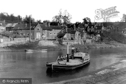
A ferry was first recorded as being in use here in 1323, and when the idea for a footbridge was first mooted there was a great deal of opposition.
In the middle distance can be seen Queen's Bridge over the River Lagan, and beyond is industrial Belfast hard at work.
Field Marshal Conway's great 18th-century landscape improve- ments and garden buildings in the grounds of Park Place included the rustic boulder-bedecked bridge on the right, carrying the Wargrave
Powick's older bridge was the scene of a Civil War battle in 1651 when Royalist troops under Montgomery held it for two hours against superior Parliamentary forces.
Originally, 18th-century Gwy House in Bridge Street was a privately owned family home.
The Clayhithe ferry ceased operating in 1875 when a company was formed to replace it with an iron bridge to be maintained by tolls. The Cam Sailing Boat and Motor Boat clubs now use the old moorings.
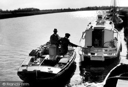
Below Acle bridge a provisioner brings supplies of fruit, vegetables, milk (in churns) and other essentials to holidaymakers and people living on houseboats such as this one on the right.
In this photograph the cottages had only recently had their thatch replaced and the wall, next to the woman with the dog, rebuilt.
This view shows Bridge Street on the north bank of the Kennet and Avon canal.
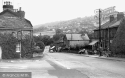
Here we see the junction of the Hathersage road and the road leading down to the bridge over the Derwent.
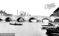
The medieval bridge over the River Ouse was started in 1332 to connect Huntingdon with Godmanchester, and the respective authorities paid for three arches - note the different styles - with the builders
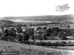
The lush fields are clear to see, as is the bridge, Raleigh Cabinet Works, and the estuary. The sandbars visible even at half tide illustrate why shipping to the town was lost.
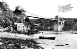
This elegant suspension bridge, built over the Menai Strait by Thomas Telford as part of his Holyhead Road, gave its name to the little town on the northern side of the narrow strait, between the island
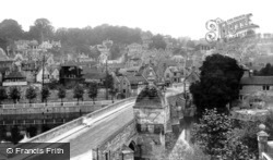
This traffic-free view of the town centre from Bridge Street conveys the history and feel of the place instantly.
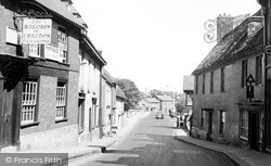
Tragically the left hand side of the road was demolished in the 1960s and replaced by appaling flat-roofed buildings.
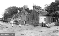
Here we see pupils at play in the street outside the old school at Whaley Bridge. Note the pinafore-wearing girls and the white starched collars of the boys.
Places (17)
Photos (40)
Memories (1928)
Books (2)
Maps (520)

