Places
36 places found.
Those places high-lighted have photos. All locations may have maps, books and memories.
- Cardiff, South Glamorgan
- Barry, South Glamorgan
- Penarth, South Glamorgan
- Rhoose, South Glamorgan
- St Athan, South Glamorgan
- Cowbridge, South Glamorgan
- South Molton, Devon
- Llantwit Major, South Glamorgan
- Chipping Sodbury, Avon
- South Chingford, Greater London
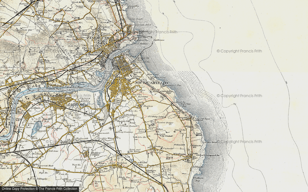
- South Shields, Tyne and Wear
- Ayr, Strathclyde
- St Donat's, South Glamorgan
- Llanblethian, South Glamorgan
- Thornbury, Avon
- Llandough, South Glamorgan
- Fonmon, South Glamorgan
- St Nicholas, South Glamorgan
- Jarrow, Tyne and Wear
- Penmark, South Glamorgan
- Font-y-gary, South Glamorgan
- Maybole, Strathclyde
- Yate, Avon
- Oxford, Oxfordshire
- Torquay, Devon
- Newquay, Cornwall
- Salisbury, Wiltshire
- Bournemouth, Dorset
- St Ives, Cornwall
- Falmouth, Cornwall
- Guildford, Surrey
- Bath, Avon
- Looe, Cornwall
- Reigate, Surrey
- Minehead, Somerset
- Bude, Cornwall
Photos
5,607 photos found. Showing results 1,641 to 1,660.
Maps
2,499 maps found.
Books
23 books found. Showing results 1,969 to 23.
Memories
1,580 memories found. Showing results 821 to 830.
Churchill Gardens And The Sherbooms
My father lived in Tunbridge Road and was employed as a landscape gardener by Ian G Walker Ltd of South Godstone, Surrey from May 1946 until July 1959. Churchill Gardens was one of the Gardens he was ...Read more
A memory of Southend-on-Sea
Hatchford Church
My father, Capt. F.C. Dyer used to play the organ at Hatchford Church until his death in 1950. It was a pump organ and Bubbles was the name of the hunchback who pumped the organ. We lived in the Semaphore Tower up on Chatley Heath ...Read more
A memory of Cobham in 1940 by
On The River Mole
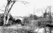
The River Mole forms the county boundary here, south-west of the church, so the right bank in the view is in Sussex. This is Long Bridge, seen from Church Meadow, now a more manicured space. The bridge carried the London to Brighton road for many years; it was rebuilt in the 1970s.
A memory of Horley
My Life In Ealing
I was born in 1936 and raised in South Ealing and went to St Anne's Convent School. I married in 1957 and went to live in West Ealing with my husband Tom who also grew up in Ealing so we knew the area very well. As young ...Read more
A memory of Ealing in 1957 by
Memories Of A Childhood In Kibblesworth
I was born Patricia Ann Storey in Lindfield, Haywards Heath in Sussex in January 1949 and was first brought to Kibblesworth in February 1951 aged 2 after I was adopted by Thomas and Margaret Thurgood who ...Read more
A memory of Kibblesworth in 1951 by
Holidays At Grandma’s
Memories are the garnish of our later years... During my extreme youth, the closest we ever got to a summer holiday was a week spent with our maternal grandparents. My father would trundle us through to their ...Read more
A memory of Felixstowe in 1957 by
Hornsby Cycle Shop
I was born and lived in Forest Hall 1952-1968. I had relatives that lived in South-Shields, they owned the cycle shop Hornsbys. I used to go on visits there with my grandparents for tea, I remember we used to go down to the ...Read more
A memory of South Shields by
South Darenth Home For Homeless Boys
My grandfather was registered at the South Darenth Home for Homeless Boys in 1911. His name was Eric Joseph Ormiston. Does anyone know if there are records for the home that would tell me why he was there and when he arrived and left? Simon.
A memory of South Darenth in 1910 by
South Petherton Family
I was born at Harp Road Garage, the eldest of 4 boys. I was educated at boarding schools and played cricket for South Petherton. My grandparents and great grandparents owned the original Wheatsheaf Inn opposite the ...Read more
A memory of South Petherton in 1930 by
Merched Y Bryniau
Another Pentraeth Memory. by Ross Davies Just about 38 years ago, I was approached by some of my former pupils, who were now mostly married and with children of their own, with the idea of forming a Pentraeth based ...Read more
A memory of Pentraeth in 1969 by
Captions
2,476 captions found. Showing results 1,969 to 1,992.
This was constructed in the early 19th century by Walter May so that he could enjoy a prospect of the sea, however the South Downs prevented his dream from being realised.
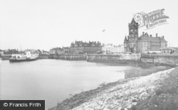
It is sheltered from the north wind by hills rising to the sombre Welsh mountains south of Cadair Idris. Today it is popular for watersports, but formerly it was an important sea port.
In contrast to the bustle of East Street, the southern length of South Street was very much a secondary shopping area. There are fewer people and fewer cars.
Now around to the south-west side of Glastonbury, where Wearyall Hill lies between the town and the river Brue. The name is a corruption of 'Wirral Hill', a deer-park established by the Abbots.
Adjacent to the thatched house is an excellent early 19th-century three-storey red brick residence which overlooks The Green on its south side.
Up until the Second World War, this work was undertaken by entire families who came from South London and the East End to stay on the farms and supplement their income with this casual labour
A little further south, the photographer looks past The Old Cottage, on the west or left side of the High Street, towards the rendered and jettied mid 16th-century Tudor House with the carved bargeboards
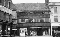
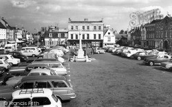
In the south-east corner of the Market Square is its only surviving timber-framed building, Ye Olde White Hart, a superb and rich example of late 15th-century building.
In the south-east corner of the Market Square is its only surviving timber-framed building, Ye Olde White Hart, a superb and rich example of late 15th-century building.
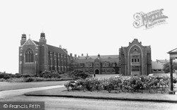
South of the town, beyond the modern A57 by-pass, accessed via a long avenue from the Netherton Road, is Worksop College.
On the level ground to the south-west of the town stands the almost ploughed-out remains of an ancient double-ditched camp called The Aubreys.
This view was taken looking south to the Bear Hotel at the top end of the car park. The new Bear Hotel was built some time after 1750 by John Provis, a painter, and leased out.
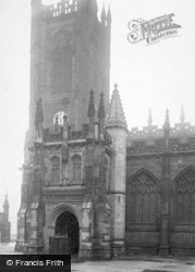
The great Victorian architect William Butterfield (1814-1900) rebuilt the south porch in 1851, and minor works were carried out here by the equally eminent John Loughborough Pearson (1817-97
The round-arched doorway to be seen on the left was re-erected here in the 1560s; it was salvaged from the demolished church of St Peter Dunstable on Cauldwell Street south of the river.
At the top of the High Street, the photographer looks south. The Lime Street/Lurke Street junction is beyond the Swan Hotel's handcart.
Lechlade, situated on the river Thames, is the gateway to the Cotswolds from the south-east.
This village stands on the south-west edge of the Isle of Ely. In the 17th century the fens around Sutton were drained by farmers with the help of wind pumps.
Further south, Watling Street widens to form a market place complete with town hall and a corn exchange.
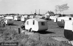
South Road is to the left, and the sea is only one field away to the right. The White House is now the White House pub and Restaurant.
The photographer has turned his camera a little to the south and included an additional couple of interesting cars - a Rover 90 and behind it a rare and expensive Bristol saloon.
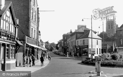
Here we look south along Godstone Road, with the church tower on the right.
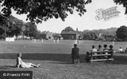
This tranquil scene, with a cricket match in full swing on the village green, looks towards the south side of the green; the A22 is on the far left beyond the trees.
The outer south aisle dates from 1539, and was built from stone salvaged or recycled from the newly dissolved abbey.
This resort on the south side of the Llyn peninsula became popular in Victorian times and has remained so ever since.
Places (15471)
Photos (5607)
Memories (1580)
Books (23)
Maps (2499)


