Places
3 places found.
Those places high-lighted have photos. All locations may have maps, books and memories.
Photos
5 photos found. Showing results 1 to 5.
Maps
Sorry, no maps were found that related to your search.
Memories
Sorry, no memories were found that related to your search.
Captions
30 captions found. Showing results 1 to 24.
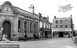
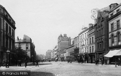
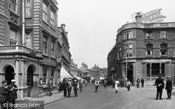
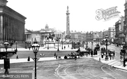
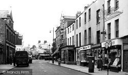
The classical-style building on the left is the Midland Bank, claimed by many to be one of the town’s finest build- ings.
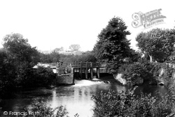
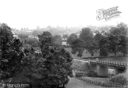
Taunton is a town surrounded by water, with the Tone passing through its heart and the marshes not far away.
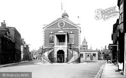
Here we see the south side of Wimborne's square at a time when the bank was called the Midland. This, with the nearby Minster, was the heart of the town.
Here we see the south side of Wimborne’s square at a time when the bank was called the Midland. This, with the nearby Minster, was the heart of the town.
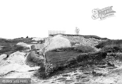
The banks of the original Iron Age fort can still be seen in this photograph. The Normans built a cathedral within it which was abandoned in the 13th century.
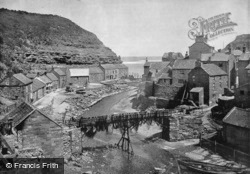
The nets strewn across the railings of the bridge emphasise the importance of this small harbour; in 1887, it boasted over 80 cobles and yawls, employing over 200 fishermen.
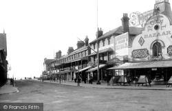
The Royal Bazaar was opened by Frederick Collins in the 1880s as the Royal Bazaar and Fancy Repository. Collins had another shop in Pier Gap.
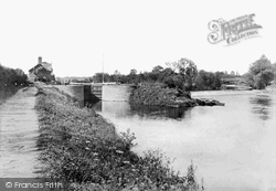
Bevere Island is the second largest of all the natural islets in the River Severn and used to be a refuge for the citizens.
The broad thoroughfare reflects not only the market town but also its link with the sea. Below the cobbles still runs the Belfast River, which once had quays allowing ships to come off the Lagan.
The Royal Hotel (left) vied with the George in attracting a superior local clientele. Next door, the drapers, Pritchard's, has a sun awning to prevent the window display fading.
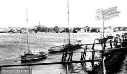
This early photograph shows wooden sailing cruisers moored alongside the jetty. The river at this point is wide and tidal. The busy industrial town can be seen on the opposite bank.
The Hartmoor area of Devizes lies to the south. This photograph is a revealing view of old England.
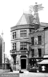
Thomas House, the timber-framed building on the left, has been well restored, while the corner house was replaced in 1920 by a brick and tile-hung Neo-Georgian Lloyds Bank, a most attractive building fronting
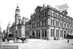
It was thanks to the generosity of cotton manufacturer William Atkinson that Southport got a Free Library and Art Gallery; he paid for both of them.
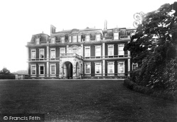
This imposing 17th-century mansion was originally designed by Sir Christopher Wren for Henry Guy, and was formerly a home of the Gore family, before being purchased by the Rothschild banking family
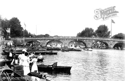
All three views taken by the Frith photographer in 1899 are south of the Regatta course, which from 1886 had its finishing line near Phyllis Court.
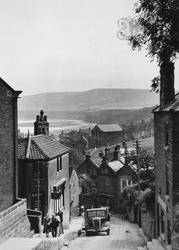
From their sources on the high land, the numerous rivers run across this landscape and make their winding ways toward the coast.
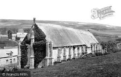
Here we see the back of the great tithe barn, which was built in about 1413. It was claimed to be one of the largest in the country at 276ft long.
It was planned that around St George's Hall there would be unbuilt areas so as to show off the Hall, the grandest of the civic buildings.
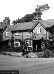
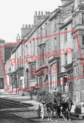
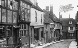
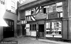
A carved inscription above the left-hand lower window reads 'Love God WB 1577 RD Honor Kinge'.
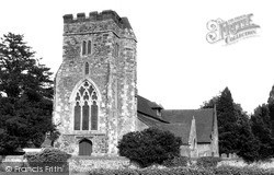
The doorway is definitively Perpendicular in style, but the west window is of 13th-century vintage with finely-detailed cusped intersecting tracery.
This picture was probably taken just down the road from Penventon Farm.
Regency society eventually found lodgings in the High Street to be too modest for their social requirements.
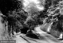
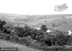
The foreground of this view is now entirely obscured by trees and hedging. The railway line is no longer visible.
Places (3)
Photos (5)
Memories (0)
Books (14)
Maps (0)


