Places
36 places found.
Those places high-lighted have photos. All locations may have maps, books and memories.
- Cardiff, South Glamorgan
- Barry, South Glamorgan
- Penarth, South Glamorgan
- Rhoose, South Glamorgan
- St Athan, South Glamorgan
- Cowbridge, South Glamorgan
- South Molton, Devon
- Llantwit Major, South Glamorgan
- Chipping Sodbury, Avon
- South Chingford, Greater London
- South Shields, Tyne and Wear
- Ayr, Strathclyde
- St Donat's, South Glamorgan
- Llanblethian, South Glamorgan
- Thornbury, Avon
- Llandough, South Glamorgan
- Fonmon, South Glamorgan
- St Nicholas, South Glamorgan
- Jarrow, Tyne and Wear
- Penmark, South Glamorgan
- Font-y-gary, South Glamorgan
- Maybole, Strathclyde
- Yate, Avon
- Oxford, Oxfordshire
- Torquay, Devon
- Newquay, Cornwall
- Salisbury, Wiltshire
- Bournemouth, Dorset
- St Ives, Cornwall
- Falmouth, Cornwall
- Guildford, Surrey
- Bath, Avon
- Looe, Cornwall
- Reigate, Surrey
- Minehead, Somerset
- Bude, Cornwall
Photos
5,607 photos found. Showing results 801 to 820.
Maps
2,499 maps found.
Books
23 books found. Showing results 961 to 23.
Memories
1,580 memories found. Showing results 401 to 410.
Growing Up
I was born in Eltringham Street in 1946, we lived with my grandparents Mr & Mrs Wilson. My gran died when I was about four. I can remember the coffin being in the front room - well that was the only room downstairs except ...Read more
A memory of Blackhill by
My Birth Place 1944
I was born in the spring of 1944 in my mother's parent's home, Thomas and Eveline Bowes who then lived in Thornlaw South. I visited them often, and loved to go for walks and going to the pitures at the bottom of Thornley with ...Read more
A memory of Thornley by
Does Anyone Remember Kango Electirc Hammers Ltd In Sw19
My father worked for a company called Kango Electric Hammers LTD after leaving school (in 1962) as a Lathe Operator. I believe he worked for them straight from school so we are looking at ...Read more
A memory of Morden by
The Crescent
I was born in The Crescent, South Tottenham in 1945. I went to Crowland Road Primary School and later Markfield. My mum Glad, worked at the Jewish Hospital in Stamford Hill. I remember going to Saturday morning pictures to the Super ...Read more
A memory of Tottenham in 1950 by
North Cemetery California Stranton Hartlepool
My great,great grandfather, Thomas Hugill, was the Sexton of the North Cemetery for over 30 years until his death in 1896. I have just visited the site and found that the half the cemetery had been ...Read more
A memory of West View in 1890 by
Wandle Road
Although I was born in Newcastle on Tyne, I came to Croydon when I was nine - about 1958. My maiden name was Fawley, and my parents (Ron and Irene) had a sweet and general shop at 6 Wandle Road. It was near the swimming pool in ...Read more
A memory of Croydon in 1958 by
Memories Of Mid Fifties
I went to school nearby (South Holme High) and in the summer, my mum would pick me up from school and sometimes take me on the boating lake. Brilliant memories to see that picture. We lived in London Road South from 1955 -1957, in a flat above Whatley's bakery, then moved away to Kings Lynn.
A memory of Lowestoft in 1955 by
Langham Road?
There is no Langham Road in South Godstone - I live in the same road as illustrated. It is LAGHAM Road. - no 'n' in it. (Editors note: Thank you for this information - we have updated our records and the image name has been changed.)
A memory of South Godstone in 1980 by
Wood Hatch, Western Parade
This photo is of the shops in Western Parade, Woodhatch, Reigate. Also in the picture, partially obscured by the trees, is The Angel public house. Woodhatch is a suburb of Reigate, about 2 miles due south from the town ...Read more
A memory of Reigate in 1955 by
Captions
2,476 captions found. Showing results 961 to 984.
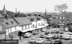
Malton stands at the junction of many roads above the Derwent Valley south of the North York Moors, and has been an important market centre since the Middle Ages.
Famous for its liquorice 'cakes' or sweets, Pontefract is an ancient market town at the junction of the Rivers Aire and Calder, south of Castleford.
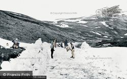
The road south from Braemar climbs through Glen Clunie and then over the rugged Cairnwell Pass, the highest point on a main road in Britain, and now the main A93 between Aberdeenshire and Perthshire.
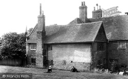
This photograph of the Biggin was taken from the south in 1903. The section immediately before the camera is now demolished; nonetheless, what remains is a fascinating building.
Originally a village, Eastleigh expanded rapidly around Bishopstoke Junction after the London and South Western Railway Company's carriage works moved here in 1889-90, followed by the locomotive workshops
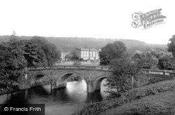
The bridge in the foreground is the main entrance to the house; the water is the Derwent, en route to its confluence with the Wye south of Rowsley.
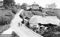
Two walkers enjoy the country lanes of the South Hams in the days before the highway was dominated by motor cars.
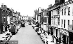
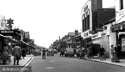
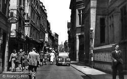
This street, which was once the main road into Nottingham from the south and crowded with people and traffic, is now pedestrianised and the direct route between the city's two shopping centres.
Thatching in the South Hams was traditionally undertaken using reed from the shores of Slapton Ley, which was regarded as far superior to any other material.
In the foreground is a crumbling wall of the medieval Outer Ward, and on the headland behind is the monstrous hotel built by the London & South Western Railway Co at the end of the 19th
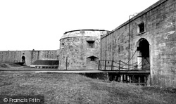
Situated to the south-east of Milford Church, Hurst Castle was probably built between 1539 and 1544 and comprises a twelve-sided central tower protected by a curtain wall and semi-circular bastion towers
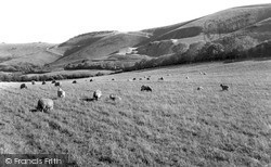
Because the difficult alkaline downland soil yielded indifferent crops, for centuries the South Downs were vast sheepwalks; by the 18th century there were 400,000 ewes grazing between Eastbourne and Hampshire
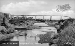
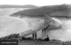
The bridge in the picture is just south of Padstow.
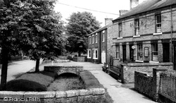
The small stone bridges still cross the beck in front of the village Post Office in the pretty village of Bishop Monkton, south of Ripon in the valley of the River Nidd.
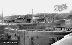
Alongside the staithes is the South Eastern Gas Board's 'Brixton'; awaiting their turn are the 'Thomas Hardie' and the 'Flathouse'.
On the right is South Place, former home of members of the Harris family, which became the surgery of Dr Grant in 1947.
During the Second World War villagers were evacuated from many villages around the South Hams so that the district could become a D-Day training ground for American soldiers, who would practise troop
Some of the small boats here were almost certainly built at Lidstone's, whose South Town Yard started business in 1824.
Before efficient transport links were opened to Ilfracombe, steamers crossed the Severn estuary from South Wales, discharging hundreds of day-trippers into the town.
At the turn of the century, Felixstowe was at the height of its popularity as a seaside resort, with its south-facing beach.
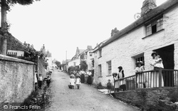
While the harbour area is well known to tourists, the true village of Boscastle climbs a steep hill to the south, where it was by-passed in 1886.
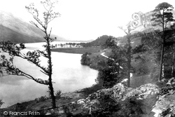
We are looking south from Lower Gatesgarth. The pines of Crag Wood are prominent in the centre of the photograph, while the slopes of Dodd sweep up the lake shore beyond.
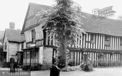
The north wing, which is jettied on a moulded wood bressumer, remains half-timbered; the south wing was rebuilt in the 19th century to house the parish hall.
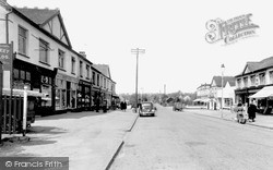
These days Hopes Green is simply a westward extension of South Benfleet, but it started life as a hamlet of fishermen's cottages.
Places (15471)
Photos (5607)
Memories (1580)
Books (23)
Maps (2499)


