Places
26 places found.
Those places high-lighted have photos. All locations may have maps, books and memories.
- Cemmaes Road, Powys
- Six Road Ends, County Down
- Road Weedon, Northamptonshire
- Severn Road Bridge, Gloucestershire
- Roade, Northamptonshire
- Berkeley Road, Gloucestershire
- Harling Road, Norfolk
- Road Green, Devon
- Builth Road, Powys
- Cross Roads, Yorkshire
- Steele Road, Borders
- Cross Roads, Devon
- Four Roads, Dyfed
- Road Green, Norfolk
- Biggar Road, Strathclyde
- Clarbeston Road, Dyfed
- Five Roads, Dyfed
- Eccles Road, Norfolk
- Grampound Road, Cornwall
- Morchard Road, Devon
- Wood Road, Greater Manchester
- Four Roads, Isle of Man
- St Columb Road, Cornwall
- Clipiau, Gwynedd (near Cemmaes Road)
- New Road Side, Yorkshire (near Silsden)
- New Road Side, Yorkshire (near Cleckheaton)
Photos
14,329 photos found. Showing results 2,141 to 2,160.
Maps
476 maps found.
Books
5 books found. Showing results 2,569 to 5.
Memories
11,058 memories found. Showing results 1,071 to 1,080.
Fetcham In The Forties And Fifties
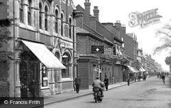
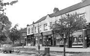
This parade of shops is in my memory for ever - my family moved to Orchard Close - which starts just beside the post office on the right of the picture - in 1946. My brother was five and I was six months old. ...Read more
A memory of Fetcham in 1950 by
Early Years In Park Road
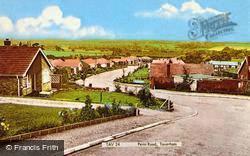
Born in 1947 to Ted & Cred Fowles, I lived in 3 Park Road until 1955 when I moved down the hill to Southsea. I started Tanyfron primary school in 1951 and went on to Penygelli Secondary school, Coedpoeth, in 1958. ...Read more
A memory of Tanyfron by
New Parks Boys,
I remember well the tennis courts . We were a secondary modern and our tennis courts were very secondary. Holes and gravel with a perimeter fence that had so many holes in it that about 20% of the balls sailed through it only to ...Read more
A memory of New Parks in 1967 by
The 1950s
I was born at the maternity hospital in 1951, we lived at 3 St Oswalds Crescent and my granny and grandad lived close by on Park Road. I attended St Oswalds C of E School - I had a lady head teacher whose name escapes me before moving ...Read more
A memory of Ashbourne in 1958 by
Licensed Game Butcher
Our gt uncle Edward Cope Statham, born in Barrow in Furness, was a licensed game butcher in Longton. He is on the 1901 census, aged 24, as lodging in Trentham Road so don't know if the shop was there too but we do have a ...Read more
A memory of Longton in 1900 by
When I Joined The Royal Air Force 22nd May 1952
I attended the Presbyterian Church Rossett Primary School in Station Road before attending the new school near Tom Bishop's shop, where I first bought my first cigarettes, Willy Woodbines, 5 for a ...Read more
A memory of Rossett in 1952 by
Ware Swimming Pool
I spent great times as a boy in the swimming pool which always showed the water temperature on a board outside the entrance ( sometimes 50F ). Our favourite activity was doing bombs off the top board and soaking anyone who was near ...Read more
A memory of Ware in 1955 by
Army Barracks Overlooking Vivary Park
I lived in the Army Barracks [Jelelahbad] from around 1960-61 and went to Mary Magdalene School which is now closed and used as an auctions room. One teacher I recall was a Mr Oak and pupils were Margaret ...Read more
A memory of Taunton in 1960
The White Hart In 1881
I've been researching my ancestors and discovered that my great-great-grandfather, William Fox, was living at the White Hart in High Road, West Wickham, in 1881 with his daughter Mary Ann Reading and her husband John ...Read more
A memory of West Wickham in 1880 by
Early Years In Hindley
What - no memories of Hindley? I was born in 1935 (nee Pennington) at a house in Liverpool Road, just up from the Strangeways Pub (The Paddock). The area was called Navvies' Lump, and although the address was "Liverpool ...Read more
A memory of Hindley in 1930 by
Your search returned a large number of results. Please try to refine your search further.
Captions
5,036 captions found. Showing results 2,569 to 2,592.
Despite its name, this is the main road into Ellesmere from the west, in other words from Wales.
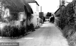
With a half-hipped timbered frame, visible at the gable end, and attic windows plus roadside flowers, early 16th- century Anthorn Cottage continues to give character to Blandford Road in
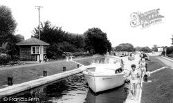
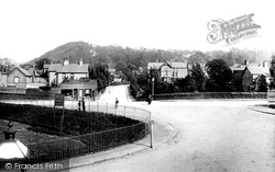
Thames Side Road is on the right with a mobile home park beyond, while on the left in the distance is now the blue steel bridge that carries the M3 over the river.
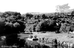
Above the trees and below the houses in the centre, the busy Heads of the Valleys road passes very close to the canal.
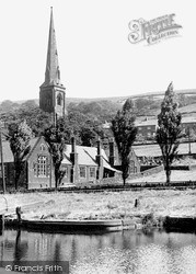
The Rochdale Canal was built as a cheaper alternative to turnpike roads for Rochdale`s woollen trade.
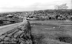
Here we see Brynmawr, the highest town in South Wales, from the old Blaenavon Road; this is one part of Brynmawr which has not changed at all.
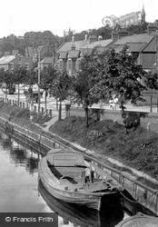
Looking up Trafford Road, one can see the large villas on the Edge, above the village that serviced their needs.
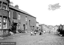
A boy is sitting between the shafts of a handcart in the middle of the road. At this time the main business activity in Flookburgh was fishing on Morecambe Bay.
This is a steep site, and the road along the front of Draycott Terrace is supported by a substantial stone wall. The terraced cottages in Primrose Valley below are still intact.
This is how the church is seen by motorists coming from St Austell, before the road passes below the solid churchyard wall on the right.
Now part of a strictly controlled conservation area, this group of shops on the corner of Green Lane and Norton Road blend into the environment.
Mence Smith (on the left), still catered for the home handyman before the DIY superstores arrived, while the radio shop also sold bicycles - perhaps to some of the cyclists emerging from Commercial Road
As early as 1841 the church laid out 24 allotments for churchgoers, off London Road.
It is built on a spit of land to the south side of the Teign estuary, and can be reached by only one road. It is immensely popular with visitors, and on a Sunday lunchtime it is very crowded.
This view shows the junction of the two roads, where The Vernon Arms has been offering refreshment to travellers for many years.
Old barns and farmsteads were scattered along this road, but by the 1960s had become houses. Here we see the Wyre Garage and general stores.
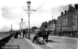
Before the promenade defences were completed in 1905, Blackpool's sea-front hotels were literally that, with only a narrow road separating them from the waves that crashed onto the beach.
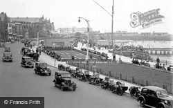
Car ownership is no longer confined to the rich, and the mass-produced, 'sit-up-and-beg' vehicles were now a common sight on the road. A
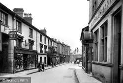
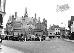
Cars in the market place, road signs to direct the traffic and the addition of electric street lighting are just a few of the changes.
The views are remarkably evocative of a past era of the town, as the road has, with one notable exception, been entirely redeveloped.
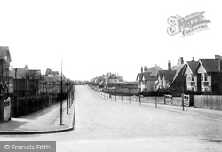
View 49180 looks west from the junction with Langley Park Road along Christchurch Park, with the well-known copper beech trees newly planted in the verges.
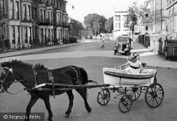
The Hatfield Hotel (centre right) looks very modern for 1950, and contrasts with the Victorian buildings on Parade Road South. In the foreground is a Victorian sprung cart in the shape of a lifeboat.
The building at right angles to the road (centre) is the medieval Guildhall.
This fascinating photograph shows Leigh Road at its junction with Market Street. This corner of Eastleigh has changed significantly.
Places (26)
Photos (14329)
Memories (11058)
Books (5)
Maps (476)


