Places
26 places found.
Those places high-lighted have photos. All locations may have maps, books and memories.
- Cemmaes Road, Powys
- Six Road Ends, County Down
- Road Weedon, Northamptonshire
- Severn Road Bridge, Gloucestershire
- Roade, Northamptonshire
- Berkeley Road, Gloucestershire
- Harling Road, Norfolk
- Road Green, Devon
- Builth Road, Powys
- Cross Roads, Yorkshire
- Steele Road, Borders
- Cross Roads, Devon
- Four Roads, Dyfed
- Road Green, Norfolk
- Biggar Road, Strathclyde
- Clarbeston Road, Dyfed
- Five Roads, Dyfed
- Eccles Road, Norfolk
- Grampound Road, Cornwall
- Morchard Road, Devon
- Wood Road, Greater Manchester
- Four Roads, Isle of Man
- St Columb Road, Cornwall
- Clipiau, Gwynedd (near Cemmaes Road)
- New Road Side, Yorkshire (near Silsden)
- New Road Side, Yorkshire (near Cleckheaton)
Photos
14,329 photos found. Showing results 2,061 to 2,080.
Maps
476 maps found.
Books
5 books found. Showing results 2,473 to 5.
Memories
11,058 memories found. Showing results 1,031 to 1,040.
New Farm
I attended Edmondthorpe village school from 1947 to 1953. I live at New Farm with my grandparent Harry and Ethel Gresham. My mother Betty Bratby, nee Gresham, my two brothers Jim and Tim Bratby, uncles John, Harry and Paul. A lodger ...Read more
A memory of Edmondthorpe in 1942 by
Fond Memories
I remember St Faith's hospital very well. I was the Head Porter there for a number of years until it was closed down. I met my wife there. She was a catering assistant. We were engaged with two other couples in the social club.That ...Read more
A memory of Brentwood in 1985 by
Dunsmore People And Happenings Remembered
PREFACE TO THE SECOND EDITION In 1995, when the first edition of this history was published, it seemed incredibly optimistic to have had three hundred copies printed for a market which ...Read more
A memory of Dunsmore by
Childhood In Wreckenton
I started school at St Oswald's RC in 1944. We lived on Tanfield Road. I remember the head teacher was called Miss Wilfred, and later we had a headmaster called Mr Clancy. I remember when the war finished and we had to ...Read more
A memory of Wrekenton in 1940 by
Wonderful Memories Growing Up In Bassaleg
I lived in Bassaleg from the age of 3, (1955), when Church Crescent and surrounding area was being developed. I lived in Church Crescent with my family until I left for Manchester in 1976. I went to the ...Read more
A memory of Bassaleg in 1966 by
Memories Of My Childhood
I was born in 1956, in Wiltshire, but my first memories are of Pawlett, where we moved, when I was very small. It was a smaller, quiter village than it is even now. I went to the village school, on the village green, next ...Read more
A memory of Pawlett in 1961 by
Childhood Memories
I have lived in Mitcham all my life. I was born at St Helier Hospital in 1955 and we lived in the nissan huts opposite what was then Pollards Hill High School in Wide Way, we lived next to a family called the Butlers and I went ...Read more
A memory of Mitcham in 1955 by
Collyhurst
I was born at 528 Collyhurst Road, in 1961. I remember there was a shop at the end of the road and a croft facing our house. My dad worked on the railway and my mum stayed home to look after us. I went to Albert Memorial Nursery ...Read more
A memory of Collyhurst in 1860 by
Marshes Pies
Does anyone remember Marshes pie and confectionary shop, corner of Old Whint Road, opposite no 1 Labour Club? They were the best pies ever made at the back of the shop.
A memory of Earlestown in 1960 by
Fish And Ice Cream!
Hello. I used to live in Thornhill from 1958 to 1968/9 (aged 1 -11) and I always seem to remember it being sunny even though the area is one of the wettest in the UK! Fish and Ice Cream....not together. I remember my mother ...Read more
A memory of Thornhill in 1965 by
Your search returned a large number of results. Please try to refine your search further.
Captions
5,036 captions found. Showing results 2,473 to 2,496.
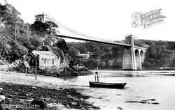
The elegant suspension bridge, built over the Menai Strait by Thomas Telford as part of his Holyhead Road, gave its name to the little town on the northern side of the narrow strait, between the island
Maiden Newton stands on the high road between Dorchester and Crewkerne, probably on a very old route between Dorset and Somerset.
Its reopening was timed to coincide with the closure of the town's other station at Hibel Road.
The ferry queue no longer blocks Fore Street - it takes the road on the right down to a large waiting area by the river.
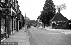
The elegant street lamps were a feature of this road.
One example was that Thieves Lane became Station Road.
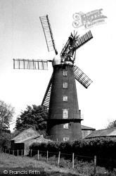
This is a beautifully proportioned Lincolnshire ogee-capped windmill, which is located on the A1104 road to Mablethorpe.
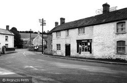
Straggling along Oakhill Road, Stoke St Michael is now subject to traffic from surrounding quarries. The post office and stores survives.
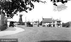
The black-painted smock windmill, set back from the road, and the prominent Cricketers pub facing the local cricket pavilion, are both local landmarks.
On the extreme left is J F White's tobacconist's shop next door to the branch of Lloyds Bank, while across the road is the entrance to Cheam Station Approach, with the offices of Morgan, Baines & Clark's
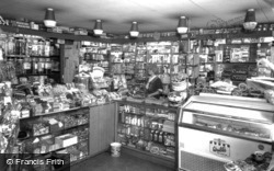
A child's paradise in the 1960s, this shop still stands just over the crossroads on the Huntingdon Road out of St Neots.
This peaceful scene was taken just off the Middlesbrough to Redcar trunk road, with the buildings of the former Stapylton School in the background on the right.
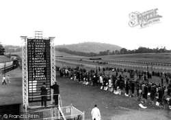
The Roman road from the bridge over the Wye at Chepstow ran through what is now the racecourse, which stands on land formerly belonging to the Clay family of Piercefield House.
The Sugar Bowl with its colourful decorations is seen from the opposite side of a narrow- looking Brighton Road.
Today the main road (the A342) is thronged with traffic travelling between Devizes and Chippenham.
Today Frimley is very much absorbed into the town of Camberley, while this particular corner is a busy road junction.
Since 1893 there have been improvements to Riverside Road leading to the Falls, and a new sewage outfall has been made from the Green into the River Swale.
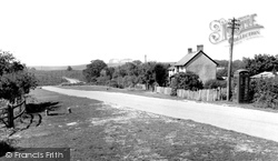
Linwood is situated high on the heathlands of the western edge of the New Forest, overlooking the broad valley of the Avon.
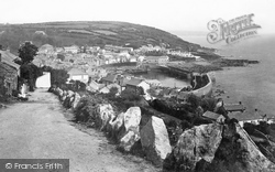
The winding road out of Newlyn rounds Penlee Point then dips down to this celebrated fishing village that nestles within stout stone breakwaters. At its back it is fringed by hills.
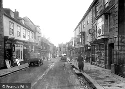
The water channels between pavement and road, so characteristic of Helston's streets, are known as kennels, probably derived from the Cornish word 'gannel'; this in turn is a corruption of
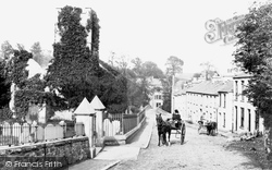
Ivybridge was built astride the main road from Plymouth to Exeter.
At the bottom is 'The House that Moved': this historic local building was in the path of a road scheme, and was carefully excavated and rolled some 400 yards to a new position.
This road is the A357 to Yeovil and Bristol.
This part of Fore Street is now a pedestrian precinct with trees, flower beds and benches lining the side of the road where the Frith photographer would have stood to take this picture.
Places (26)
Photos (14329)
Memories (11058)
Books (5)
Maps (476)


