Places
36 places found.
Those places high-lighted have photos. All locations may have maps, books and memories.
- Pentre-cwrt, Dyfed
- Pentre Halkyn, Clwyd
- Pentre, Mid Glamorgan
- Ton Pentre, Mid Glamorgan
- Pentre, Powys (near Llangynog)
- Pentre, Powys (near Guilsfield)
- Pentre, Powys (near Bishop's Castle)
- Pentre, Dyfed (near Pontyates)
- Pentre, Powys (near Newtown)
- Pentre, Clwyd (near Mold)
- Pentre, Clwyd (near Ruabon)
- Pentre, Shropshire (near Chirk)
- Pentre, Clwyd (near Hawarden)
- Pentre, Clwyd (near Chirk)
- Pentre, Clwyd (near Ruthin)
- Pentre, Clwyd (near Mold)
- Pentre, Shropshire (near Oswestry)
- Pentre, Powys (near Welshpool)
- Pentre, Clwyd (near Mold)
- Pentre, Shropshire (near Forton)
- Pentre Broughton, Clwyd
- Pentre Gwynfryn, Gwynedd
- Pentre Maelor, Clwyd
- Pentre-clawdd, Shropshire
- Pentre Galar, Dyfed
- Pentre Llifior, Powys
- Pentre-cefn, Shropshire
- Pentre-Gwenlais, Dyfed
- Pentre-Poeth, Dyfed
- Burntwood Pentre, Clwyd
- Pentre Berw, Gwynedd
- Pentre Hodre, Shropshire
- Pentre Llanrhaeadr, Clwyd
- Pentre-celyn, Clwyd
- Pentre Cilgwyn, Clwyd
- Pentre Morgan, Dyfed
Photos
98 photos found. Showing results 2,681 to 98.
Maps
316 maps found.
Books
2 books found. Showing results 3,217 to 2.
Memories
1,253 memories found. Showing results 1,253 to 1,253.
Captions
3,593 captions found. Showing results 3,217 to 3,240.
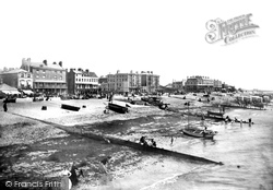
The gap to the right between terraces is the end of the Steyne Gardens, laid out after 1807, and originally intended as the centre of the resort, but most development in fact went westward.
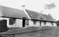
The pleasant village of Alloway is now the centre of pilgrimage for lovers of Burns's poetry.
This chapter's tour of the river banks is now completed, and we return to the town centre for the next chapter.
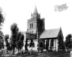
Its churchyard, though, is a haven of tranquillity in the centre of this busy town.
To the right now is the east side of the vast Friars Square shopping centre.
This place was once a bustling wool centre, but it has not grown much since. When Daniel Defoe visited, there were 20,000 sheep being sold here.
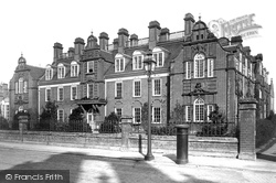
Newnham College was Cambridge's second college for women, and was built a lot closer to the centre than the first one at Girton.
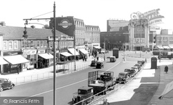
We are at the heart of the city centre, and this is now all pedestrianised. The Albany Hotel, dating from the late 1870s, was originally a Temperance establishment.
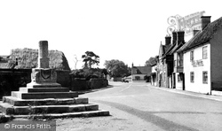
This is the village centre.
The Athenaeum, or former Assembly House (centre), is little changed since 1802-4, except for the Victorian observatory on the roof. The two buildings to the right were built in 1814-16.
The town developed fast during the 19th century, and became an important centre for brick and tile manufacture.
The war memorial (centre left) commemorates the Royal Welsh Fusiliers of two World Wars so that 'their names will live for evermore'.
The historic village centre peters out beyond the right- hand turn into the High Street.
His brother, Francis Smith, designed the stable block (centre left) in 1737.
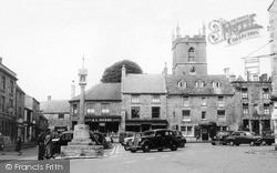
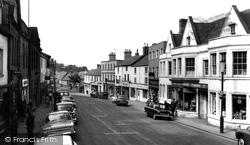
Looking down the High Street we can see Fosters Brothers (centre right) in a new building that replaced the Bear Hotel, one of Daventry's coaching inns.
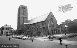
It is an evangelical church, and the present clergy are noted for taking their message out into the nearby shopping centre.
The view is westwards from Lower Eype to the outline of Thorncombe Beacon (centre) above Lyme Bay.
On the other side of the road was a garage, which is now the Job Centre and the Sue Ryder shop. Then comes the HSBC bank followed by a building dated 1789 which now houses Calthop, solicitors.
The Butter Market of 1853 (centre) is now Achurch Hardware Store, and the snack bar next door is now a pizza and kebab house.
Whether you tried the cockles, crabs, mussels, prawns, shrimps or whelks at the Oyster Bar (centre left) before or after you had the ride was entirely up to you.
Hendon was first recorded in the 10th century, but the Hendon we see in this photograph has very little in common with the original mediaeval centre about half a mile (as the crow flies) to the north.
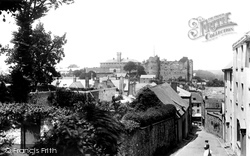
The gateway in the stone wall (centre left) is now a garage door. The Millar Tobacconist at the foot of the hill beyond the horse and cart is now Castle Photography.
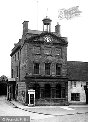
It was later restored and now houses the Daventry Museum, the town mayor's parlour and the tourist information centre. Note the K2 telephone kiosk, a superb 1926 design by Sir Giles Gilbert Scott.
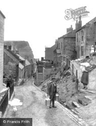
During the 19th and early 20th centuries, Staithes was a fishing port of some standing, a centre for cod, haddock and mackerel, but it fell into decline with the development of steam trawlers, which tended
Places (57)
Photos (98)
Memories (1253)
Books (2)
Maps (316)


