Places
32 places found.
Those places high-lighted have photos. All locations may have maps, books and memories.
- Cliffs of Moher, Republic of Ireland
- Cliffe, Kent
- St Margaret's at Cliffe, Kent
- Cliff, Warwickshire
- Cliffe, Lancashire
- Cliff, Highlands
- Cliff, Derbyshire
- Cliffe, Yorkshire (near Darlington)
- Cliffe, Yorkshire (near Selby)
- Cliffs End, Kent
- Gold Cliff, Gwent
- Guy's Cliffe, Warwickshire
- King's Cliffe, Northamptonshire
- Canford Cliffs, Dorset
- South Cliffe, Yorkshire
- Middle Cliff, Staffordshire
- West Cliffe, Kent
- Cliff End, Yorkshire
- Beechen Cliff, Avon
- North Cliffe, Yorkshire
- Telscombe Cliffs, Sussex
- Matlock Cliff, Derbyshire
- Great Cliff, Yorkshire
- Cliffe Woods, Kent
- Friars Cliff, Dorset
- Hemswell Cliff, Lincolnshire (near Hemswell)
- Little Alms Cliff, Yorkshire
- Normanton-on-Cliffe, Lincolnshire
- West Cliff, Dorset (near Bournemouth)
- Cliff End, Sussex (near Hastings)
- West Cliff, Yorkshire (near Whitby)
- West Street, Kent (near Cliffe)
Photos
2,428 photos found. Showing results 421 to 440.
Maps
162 maps found.
Books
1 books found. Showing results 505 to 1.
Memories
441 memories found. Showing results 211 to 220.
Catapault Elastic And More
I lived in Midhurst Hill, off Townley Road, a couple of years after this photo was taken, quite scarey to see how old fashioned it looks now. I used to buy my catapault elastic in Jennings. I went to Upton Road ...Read more
A memory of Bexleyheath by
Childhood In The 1950s
Life for a child in the village of Worle in the 1950s was exciting, parochial and safe. Our parents did not lose sleep over thoughts of us being molested. Children were more likely to be in danger from their own recklessness ...Read more
A memory of Worle in 1956 by
Polzeath In The Second World War.
We lived at "Caradon" during the Second World War. I was young when we moved there and we left soon after the war ended. I remember Dr Thames' pre-school, and the nursery school on the Terrace in New Polzeath - ...Read more
A memory of Polzeath in 1943 by
Teddington Hometown
Born in Teddington in 1945. Lived in Clarence Road until 1958, then moved to the "Con Club" in Stanley Road. My brother and I were both in St. Albans Choir along with another pair of brothers, Ian and Cliff Williams, who both ...Read more
A memory of Teddington in 1955 by
'holiday House'.
I was born and lived the early years of my life in South Molton. My father had his own building firm there. In 1958 we moved to Croyde Bay my father having bought this large house on the cliffs above the bay for £1800. This photo ...Read more
A memory of Croyde by
1946 To 1952 On London Road
I lived on London Road near Lloyd Road from about 1946 to 1948 and then on Hemingford Road until 1952. Walked along London Road to Ridge Road School (Mrs. Clarke was my favorite teacher) and went to the Granada on ...Read more
A memory of North Cheam by
Bobs Ferry Disaster At Irlam
DISASTER AT BOB'S FERRY This account was researched and written by Duncan Hamman (bikedunc@aol.com). It has appeared in the Partington & Carrington Transmitter Community Newspaper. On Tuesday April 14th 1970 ...Read more
A memory of Irlam in 1970 by
Favourite Place
My family moved from Salford (Manchester) to Barry in 1957. We lodged with a very kind lady called Mrs Beck for a few months while we waited for our new semi-detached house to be built on Maes-y-Coed road, Cold Knap. The house was ...Read more
A memory of Barry in 1957 by
Wraight Or Wraite Family With Bailey Family
Leonard Wraight, a Farmer & carrier, his wife Elizabeth and their son of 16, Walter Wraight lived in Great Mongeham in 1901. Leonard was the son of Richard Wraight & Ann Holmes and was ...Read more
A memory of Great Mongeham in 1900
The 1960s
I lived my early years here, until the 1970's, having been born in Wells and brought home to Cheddar as a baby. I have many family ancestral links to Cheddar via my father's parents. In the late 1800's-early 1900's my great-grandfather ...Read more
A memory of Cheddar by
Captions
646 captions found. Showing results 505 to 528.
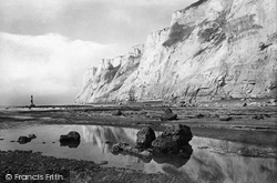
The red and white lighthouse at the foot of the cliffs is pictured here. It was started in July 1899 and was completed in 1902.
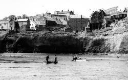
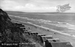
Lobster pots at the base of the cliff indicate the type of fishing undertaken.
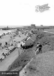
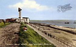
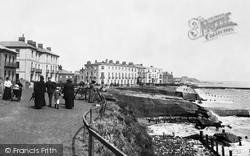
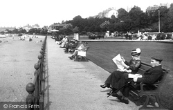
Here families stroll along the parade on the top of the cliffs, which was soon to be developed as Marine Gardens.
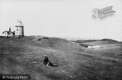
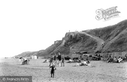
A young lad sits on the grass on the sheltered inward side of the cliffs.
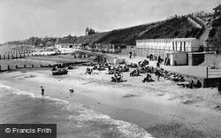
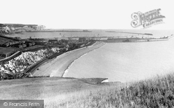
Note the line of bathing machines under the cliffs.
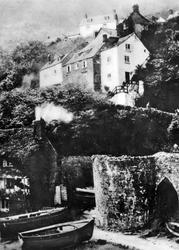
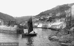
Built in a narrow gully in cliffs 400 feet high, this was once a smuggling village.
The high ground beyond is Gun Cliff Gardens, off Carlton Hill.
These are the gaunt Victorian lines of the Coastguard Station at West Bay, looking eastwards towards East Cliff, with Rocket Houses seaward from it (right).
Its church disappeared from the cliffs into the ever-encroaching sea in the reign of Richard II. Another was built, and that too was a ruin for a number of years – it has since been restored.
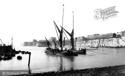
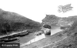
The picturesque harbour gives good shelter, once vessels have negotiated a difficult entrance between high cliffs.
Now occupied by the Winter Gardens, the Fort, also known as Fort Green, stood high up on the sea cliff east of Margate Harbour where a gun battery had stood during the Napoleonic wars.
The holiday trade led to the development of the town, chiefly in the direction of the West Cliff, where hotels and guest houses were built.
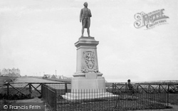
It stands on West Cliff. Cook has a map in one hand and dividers in the other, and as the sculptor intended, he looks out to sea, his eyes on the distant horizon.
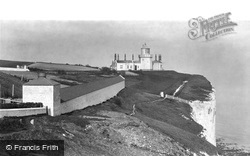
It was built in 1843; for a further ninety years after this photograph was taken, it offered both a warning and guidance for ships passing north along the white cliffs, and for those heading
Under the East Cliff, 'Dutch' fish auctions are often held. The steep, turfy slopes of its East and West Hills have recently been made more accessible by means of a lift.
A panoramic view taken from Shakespeare Cliff shows to advantage the sweep of this famous harbour.
The nearest carriage waits outside the Great Western Hotel, and behind it a sign directs pedestrians to the cliffs and beach.
Then building began in earnest as visitors flocked to enjoy its safe, sandy beach and bracing cliff-top walks.
St Audries occupies a natural bowl looking out over the sea above the cliffs of St Audries Bay. The main A39 skirts its southern edge, and you can catch a glimpse of it from the drive.
Hill Bottom (centre), south-west of Renscombe Farm is seen here in a view towards Chapman's Pool and Houn's-tout Cliff The slopes of the Plain and St Alban's Head (left) rise to the south.
Many of the houses along this stretch of the cliff top have decorative balconies overlooking the sea.There was no problem with parking at this time, in what is now a very busy area, within walking
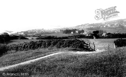
Lyme Regis, seen here from the heights of Timber Hill, is situated at the westernmost end of Dorset.Walking through the fields and cliffs of Lyme the visitor can never be quite sure whether he or
This view looks south-westwards from Broad Ledge to Long Ledge (foreground) below Gun Cliff to the Guildhall (top right), the Fossil Depot beside Buddle Bridge and the Assembly Rooms (centre), with the
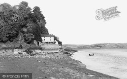
This attractive boat house is set at the foot of a steep cliff alongside the River Taf with its 'heron-priested' shore. The poet Dylan Thomas lived here for the last four years of his life.
Places (32)
Photos (2428)
Memories (441)
Books (1)
Maps (162)


