Places
26 places found.
Those places high-lighted have photos. All locations may have maps, books and memories.
- Cemmaes Road, Powys
- Six Road Ends, County Down
- Road Weedon, Northamptonshire
- Severn Road Bridge, Gloucestershire
- Roade, Northamptonshire
- Berkeley Road, Gloucestershire
- Harling Road, Norfolk
- Road Green, Devon
- Builth Road, Powys
- Cross Roads, Yorkshire
- Steele Road, Borders
- Cross Roads, Devon
- Four Roads, Dyfed
- Road Green, Norfolk
- Biggar Road, Strathclyde
- Clarbeston Road, Dyfed
- Five Roads, Dyfed
- Eccles Road, Norfolk
- Grampound Road, Cornwall
- Morchard Road, Devon
- Wood Road, Greater Manchester
- Four Roads, Isle of Man
- St Columb Road, Cornwall
- Clipiau, Gwynedd (near Cemmaes Road)
- New Road Side, Yorkshire (near Silsden)
- New Road Side, Yorkshire (near Cleckheaton)
Photos
14,329 photos found. Showing results 1,721 to 1,740.
Maps
476 maps found.
Books
5 books found. Showing results 2,065 to 5.
Memories
11,058 memories found. Showing results 861 to 870.
Christmas
When I worked at Fentocraft in St Johns Road it was a small factory that did hand painting on glass and pick-a-sticks, a game. We always had a Christmas party, they would put a table down the middle and our bosses, a M and Mrs Bound, ...Read more
A memory of East Ham in 1960 by
Happy Days 1950s And 60s
I was born and brought up in Weaverham until I left to move to Altrincham with my new wife (and job). Over that 20 year period I have so many happy memories; too many to record in 1000 words. Lived in Lime Avenue all ...Read more
A memory of Weaverham by
Sports Galore
Although it was a fair walk or bike ride away from my Wembley Park home at Barn Rise, I regularly used to play tennis in this wonderful park, always around the time of Wimbledon when everyone rushed out to play. From memory there ...Read more
A memory of Wembley in 1965 by
Muchalls
My sister and I lived at the other side of the Muchalls crossroads on the road to Cookney, a little way from the village. There we had an idylic childhood of sorts (though we were far from well-off). We had the freedom of the ...Read more
A memory of Muchalls in 1971
School At Burslem Junior Tech
I lived in Blythe Bridge and travelled to school at the Burslem Junior Technical College in Moorland Road, Burslem over a period between 1943 to 1945. The journey by train on the old loop line was a lot of fun. I ...Read more
A memory of Burslem in 1944 by
Spondon During War
I occasionally came to live with my sister in Spondon during the war years. I lived in Ockbrook Road, the house was named Tarbet House. At the rear across two fields was an anti-aircraft battery of four guns, which when they ...Read more
A memory of Spondon in 1942 by
Billys Greengrocer
Billy's Greengorcer - a small shop on the corner of Hebron Street where you could buy fruit and veg, and almost anything else. In those years there was not an awful lot of choice.. two lots of potatoes, carrots, cauliflower, and ...Read more
A memory of Heyside in 1951 by
When I Lived In Strichen
We came to Strichen from the Auchnagatt area in 1949 and I went to Strichen primary and secondary schools. It was real sad when the old school was knocked down. I stayed out at Newmill which was also Michies brewery and ...Read more
A memory of Strichen in 1967 by
The War Years
I was born in Ryde in 1938 and when war broke out, my mother and myself moved in with my grandparents, Laurence and Lucy Stroud (nee Meecham) into what is now Wellwood Grange but in those days was just Wellwood. It was the home of ...Read more
A memory of Binstead by
Your search returned a large number of results. Please try to refine your search further.
Captions
5,036 captions found. Showing results 2,065 to 2,088.
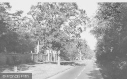
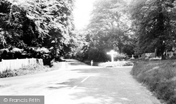
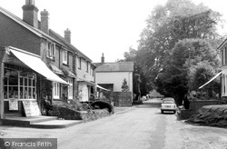
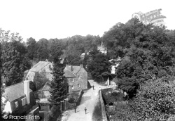
The beautiful mature trees make an attractive setting in high summer along High Road at its junction with White Hill, extreme left, and Hogscross Lane.
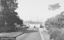
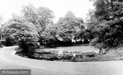
Elmore Cottages still command the High Road opposite the village pond and crossroads but have been extended on the south side where the fence on the flint wall has been removed.
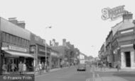
Frank Butcher`s newsagent and tobacconist shop at the north end of High Road has a well stocked window but alas has now been demolished, and the other shops have closed.
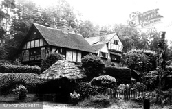
A wealth of timbers, tiles, gables, chimney-stacks and a thatched gateway make another attractive High Road house north of Ruffetts Cottages. It is now obscured by trees and hedges.
In the 19th century, various industries were established to replace the wool cloth ones; these included brewing, with the splendidly named Anglo-Bavarian Brewery being established near Commercial Road
The Village 1959 At the west end of the village, at the junction of Gainsborough Road with the A30, is this former school of the 1880s, built in rock-faced rubble stone and ashlar dressings.
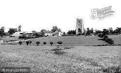
The A361 Frome to Trowbridge road separates St Laurence's church, with its rugged and battlemented 15th-century west tower, from the rest of the village.
This rural scene, about a mile east of the city centre along Monks Road, is now much changed.
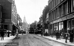
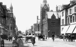
The brand-new tower of the Town Hall can be seen above the far shops in North End, which today is a pedestrianised road.
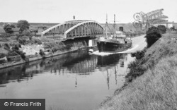
The Knutsford Road swing-bridge lies open to allow the passage of a ship outward-bound from Manchester. In the background is the Latchford railway viaduct, constructed in 1893.
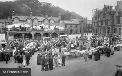
Settle lies on the road between Skipton and Ingleton. On the right is the Elizabethan-style Town Hall, built in 1832, and in the background, somewhat smothered by washing, is the Shambles.
The village lies at the head of a small creek off the Camel estuary; this narrow lane has become the main road between Wadebridge and Padstow.
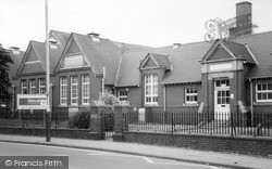
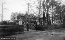
The Broomfield Road premises - pictured in the year of their completion - were the school's third proper home.
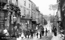
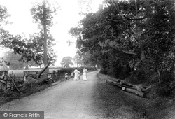
The small boy's sailor suit was typical of the Edwardian period; as were the white skirts, worn only a couple of inches from the surface of the dirt road.
The road to the front of the houses is now much wider, and there is a small park opposite the college.
The south porch was removed for road widening in 1831, and is now a folly at Nowton Park.
The narrow road was just about suitable for the volume of traffic when this view was taken.
Queniborough has the good fortune to be sited away from major roads, although it has become almost joined to industrial Syston.
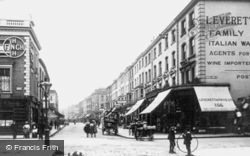
This view looks north up Portobello market in Notting Hill's Portobello Road. To the left is Elgin Crescent, and on the right is Colville Terrace.
Further down the road we come to the Gower Heritage Centre.
Here we see a change of pace compared to some of the previous pictures: the pavements are crowded with pedestrians and the road is heaving with traffic. 1955 was a year of newspaper and dock strikes;
The broad expanse of what had been Ashford's original market place and a rendezvous for Kent's sheep and cattle farmers had, by the mid 1950s, been bisected by a central traffic reservation and new road
This bustling view of Church Road with its bicycles and horse-drawn vehicles is dominated by the sadly- lamented old Town Hall, which burned down in 1966.
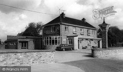
Like the estate on which it stands, the pub was named after the Shire Lodge, which still stands on Rockingham Road.
Places (26)
Photos (14329)
Memories (11058)
Books (5)
Maps (476)


