Merry Christmas & Happy New Year!
Christmas Deliveries: If you placed an order on or before midday on Friday 19th December for Christmas delivery it was despatched before the Royal Mail or Parcel Force deadline and therefore should be received in time for Christmas. Orders placed after midday on Friday 19th December will be delivered in the New Year.
Please Note: Our offices and factory are now closed until Monday 5th January when we will be pleased to deal with any queries that have arisen during the holiday period.
During the holiday our Gift Cards may still be ordered for any last minute orders and will be sent automatically by email direct to your recipient - see here: Gift Cards
Places
36 places found.
Those places high-lighted have photos. All locations may have maps, books and memories.
- Shanklin, Isle of Wight
- Ventnor, Isle of Wight
- Ryde, Isle of Wight
- Cowes, Isle of Wight
- Sandown, Isle of Wight
- Port of Ness, Western Isles
- London, Greater London
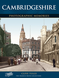
- Cambridge, Cambridgeshire
- Dublin, Republic of Ireland
- Killarney, Republic of Ireland
- Douglas, Isle of Man
- Plymouth, Devon
- Newport, Isle of Wight
- Southwold, Suffolk
- Bristol, Avon
- Lowestoft, Suffolk
- Cromer, Norfolk
- Edinburgh, Lothian
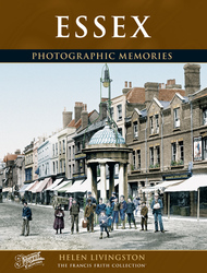
- Maldon, Essex
- Clacton-On-Sea, Essex
- Felixstowe, Suffolk
- Norwich, Norfolk
- Hitchin, Hertfordshire
- Stevenage, Hertfordshire
- Colchester, Essex
- Nottingham, Nottinghamshire
- Bedford, Bedfordshire
- Bury St Edmunds, Suffolk
- Aldeburgh, Suffolk
- St Albans, Hertfordshire
- Hunstanton, Norfolk
- Chelmsford, Essex
- Bishop's Stortford, Hertfordshire
- Peterborough, Cambridgeshire
- Brentwood, Essex
- Glengarriff, Republic of Ireland
Photos
2,038 photos found. Showing results 161 to 180.


Maps
25 maps found.
Books
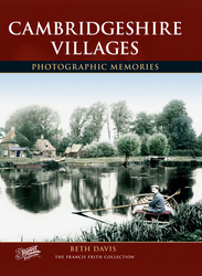
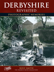
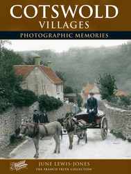
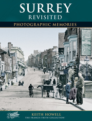
431 books found. Showing results 193 to 216.
Memories
Sorry, no memories were found that related to your search.
Captions
237 captions found. Showing results 193 to 216.

It was built by the Pennant family on the proceeds of their huge Penrhyn slate quarries at Bethesda.

The Stag Inn dates back to the 18th century, and the elm tree on the right reputedly marked the centre of Windsor Forest.

The ornate fountain and clock tower forms the centrepiece of the Market Place, but it looks as though Willenhall will soon have another attraction, the Zorba Grill—no doubt inspired by the film starring

Among other features, the college is renowned for its magnificent hall, impressive timbered roof and fine collection of portraits, including Henry VIII and Cardinal Wolsey.

Racing boats are drawn up outside the establishment of Mr C Shore - an appropriate name that was much punned upon by his contemporaries.

Branthwaite Brow is one of the three streets which meet Kent Street as it leads up the steep hill opposite Miller Bridge.The others are Finkle Street and Stramongate.
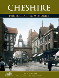
This small steamer might be one of the craft based at Chester for summer excursion work along the Dee, though it is possible that it could be a privately owned craft, as her carrying capacity is somewhat

It was John of Gaunt who set about transforming Kenilworth from a Norman fortress to a Gothic palace. Work began around 1389, with only the keep being retained.

The Butter Market also provided advertising space for all sorts of businesses, from Treleaven's outfitters to the Great Western Railway.

Rowing and paddle boats were a common sight on the upper lake from the 1930s through to the 1970s.

The route was later incorporated into the Nelson's Pillar to Terenure route, and this is a picture of a tram at the Terenure terminus.

Another potential library site was released by the closure of the Ramsden Street Chapel in 1933, which was bought by the council and demolished in 1936 along with the adjacent late-1830s 'Guild

This panoramic view of Hythe shows St Leonard's Church in the foreground. The Royal Military Canal stretches parallel with the coast, hidden by the furthest trees in the middle distance.

The Wesleyan church on the right dates from 1844, and is typical of the big town chapels at that time.

The building on the right is the Booth Hall, also known as the Round House, perhaps so called because it was possible to walk all round it without obstruction.

The classical-style building on the left is the Midland Bank, claimed by many to be one of the town’s finest build- ings.

The low two-storeyed rendered building on the left in the middle distance is the 16th-century, timber-framed Saracen's Head. Here, in May 1646, Charles I spent his last night of freedom.

The brand-new tower of the Town Hall can be seen above the far shops in North End, which today is a pedestrianised road.

Dittisham and Dartmouth now rely on the leisure industry, and are the haunt of weekend yachtsmen.

The photographer appears to be quite the centre of attraction as the ladies from the left- hand house peer over the hedge.

This 204ft (63m) high obelisk on the south side of the main road was designed by Robert Smirke and believed to be the highest in the world at the time.

Thornfield has been a holiday site since the beginning of the 20th century, when accommodation was provided in wooden chalets.

The foundation stone was laid on 26 June 1860 by the Earl of Shaftesbury.

It is still possible to walk along the banks of the local waterways, just as these Edwardian children did nearly a century ago. A canal to Tiverton once started from near French Weir.
Places (6814)
Photos (2038)
Memories (0)
Books (431)
Maps (25)

