Places
36 places found.
Did you mean: street or streetly ?
Those places high-lighted have photos. All locations may have maps, books and memories.
- Heathfield, Sussex (near Cade Street)
- Street, Somerset
- Chester-Le-Street, Durham
- Adwick Le Street, Yorkshire
- Scotch Street, County Armagh
- Friday Street, Surrey
- Potter Street, Essex
- Boughton Street, Kent
- Newgate Street, Hertfordshire
- Streetly, West Midlands
- Shalmsford Street, Kent
- Green Street Green, Greater London
- Boreham Street, Sussex
- Park Street, Hertfordshire
- Cade Street, Sussex
- Appleton-le-Street, Yorkshire
- Hare Street, Hertfordshire (near Buntingford)
- Romney Street, Kent
- Trimley Lower Street, Suffolk
- Streetly End, Cambridgeshire
- Hare Street, Hertfordshire (near Stevenage)
- Brandish Street, Somerset
- Colney Street, Hertfordshire
- Langley Street, Norfolk
- Silver Street, Somerset (near Street)
- Street, Yorkshire (near Glaisdale)
- Street, Lancashire
- Street, Devon
- Street, Cumbria (near Orton)
- Street, Somerset (near Chard)
- Bird Street, Suffolk
- Black Street, Suffolk
- Ash Street, Suffolk
- Broad Street, Wiltshire
- Brome Street, Suffolk
- Penn Street, Buckinghamshire
Photos
3,112 photos found. Showing results 1 to 20.
Maps
Sorry, no maps were found that related to your search.
Memories
Sorry, no memories were found that related to your search.
Captions
54 captions found. Showing results 1 to 24.
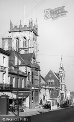
The medieval street plan survives virtually intact, much of it based on the Roman town laid out in the first century AD.
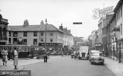
Here we see the Square outside the old town hall and part of Market Street. We can see the bus shelters on the left.
Branthwaite Brow is one of the three streets which meet Kent Street as it leads up the steep hill opposite Miller Bridge.The others are Finkle Street and Stramongate.
Upper Rushall Street and Peal Street running north and south from the bottom of the church steps indicate ancient routes to Lichfield and Wednesbury.
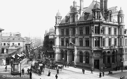
By the end of the 19th century, New Street was both the principal business street in the town and the best for shopping and entertainment.This view is from Paradise Street.
This is looking northwards up South Street, to Stag House at the top end of West Street and the Town Hall (centre).
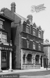
The photograph was taken from the junction of Bridge Street with the High Street.
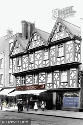
This view looks towards the Stonebow from the High Street, with the former Courts store on the left still surviving.
School - was built by public subscription on Derby Street. That building, now Stokers' furniture store, was originally only one storey; in 1853 an upper floor was added at the cost of £1,007.
Silver Street led from the Market Place to the river, which was lined by the warehouses and factories of this once busy inland port, including my grandfather’s Rose Brothers, a packaging machinery
Waddington is now noted more for its large Royal Air Force station to the east of the village, but it grew up on a diversion of Ermine Street to the western scarp of the limestone ridge.
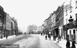
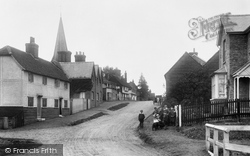
Three young men enjoy a chat in an almost deserted street.
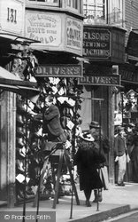
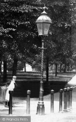
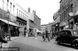
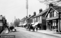
A gas street lamp is at the kerbside outside a shop with advertising boards on the pavement. Sunblinds are extended on the side of the street facing the sunlight.
The local board had constructed the embankment between 1875 and 1882, and planned a new street, York Street, in 1892 that would bypass Church Street. This opened in 1899.
By now, the High Street was crammed with houses: all the plots had been filled.
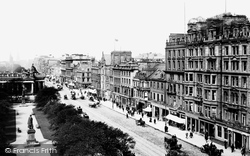
This view looks west along the main thoroughfare of the New Town, with Prince's Street Gardens on the left.
Churchgate Street lay on the main route from London to Newmarket, Cambridge, Norwich and the North.
One coachbuilder was John Mumford who had left the town but returned in 1834 and set up in business in West Street. He
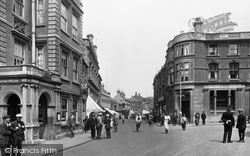
Lloyds Bank, on the right, is on the corner of Market Street. The policeman, possibly on traffic duty, is talking to a man whose cap and breeches suggest a chauffeur or AA patrolman.
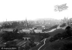
In the foreground are the buildings of the Royal Institute and the National Gallery, with Princes Street on the left behind the Scott Monument. Calton Hill can be seen in the distance.
The cenotaph in the High Street commemorates those who died in battle but whose remains lie elsewhere.
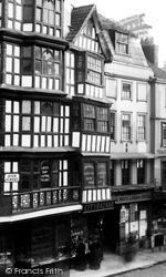
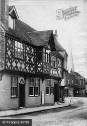
timber-framed building on the left, has been well restored, while the corner house was replaced in 1920 by a brick and tile-hung Neo-Georgian Lloyds Bank, a most attractive building fronting the High Street
St Peter Street had several rows of cottages, some in great dilapidation, occupied by river workers such as ferrymen, bargees and wharfingers.
Another potential library site was released by the closure of the Ramsden Street Chapel in 1933, which was bought by the council and demolished in 1936 along with the adjacent late-1830s 'Guild
Places (385)
Photos (3112)
Memories (0)
Books (2)
Maps (0)


