Cardiff & Newport A Boxed Set of Folded Sheet Maps

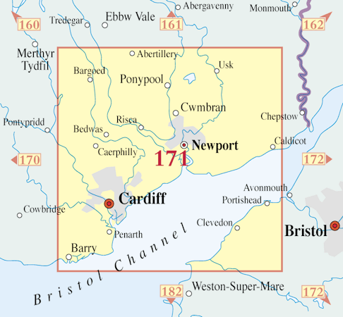
Each map in the Box Set has been carefully scanned, digitally re-projected and enlarged to match the present-day Ordnance Survey Landranger® series. The maps are also directly comparable with the corresponding Ordnance Survey Landranger® and use the same sheet number and grid references, so enabling the past and the present to be compared with ease and accuracy.
3-Map
Set

About This Boxed Set
- Format:
- A Boxed Set of 3 Folded Sheet Maps
- Maps of:
- Cardiff & Newport
- Size:
-
Folded: 13.5cm x 22.5cm (approx. 5" x 9")
Opened: 100 cm x 89 cm (approx. 39" x 35") -
In the Box:
(Click to view)
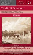
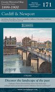
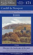
- Sheet No.:
- 171
- Coverage:
- 40 x 24 miles (Approximate)
- Places:
- See covered places
- Map ISBN:
- 978-1-84736-910-9
- Delivery:
-
Printed to order: up to 7-10 working days
Express delivery is unavailable.
Price
£45