Places
36 places found.
Those places high-lighted have photos. All locations may have maps, books and memories.
- Pentre-cwrt, Dyfed
- Pentre Halkyn, Clwyd
- Pentre, Mid Glamorgan
- Ton Pentre, Mid Glamorgan
- Pentre, Powys (near Llangynog)
- Pentre, Powys (near Guilsfield)
- Pentre, Powys (near Bishop's Castle)
- Pentre, Dyfed (near Pontyates)
- Pentre, Powys (near Newtown)
- Pentre, Clwyd (near Mold)
- Pentre, Clwyd (near Ruabon)
- Pentre, Shropshire (near Chirk)
- Pentre, Clwyd (near Hawarden)
- Pentre, Clwyd (near Chirk)
- Pentre, Clwyd (near Ruthin)
- Pentre, Clwyd (near Mold)
- Pentre, Shropshire (near Oswestry)
- Pentre, Powys (near Welshpool)
- Pentre, Clwyd (near Mold)
- Pentre, Shropshire (near Forton)
- Pentre Broughton, Clwyd
- Pentre Gwynfryn, Gwynedd
- Pentre Maelor, Clwyd
- Pentre-clawdd, Shropshire
- Pentre Galar, Dyfed
- Pentre Llifior, Powys
- Pentre-cefn, Shropshire
- Pentre-Gwenlais, Dyfed
- Pentre-Poeth, Dyfed
- Burntwood Pentre, Clwyd
- Pentre Berw, Gwynedd
- Pentre Hodre, Shropshire
- Pentre Llanrhaeadr, Clwyd
- Pentre-celyn, Clwyd
- Pentre Cilgwyn, Clwyd
- Pentre Morgan, Dyfed
Photos
98 photos found. Showing results 2,661 to 98.
Maps
316 maps found.
Books
2 books found. Showing results 3,193 to 2.
Memories
1,253 memories found. Showing results 1,253 to 1,253.
Captions
3,593 captions found. Showing results 3,193 to 3,216.
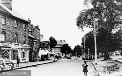
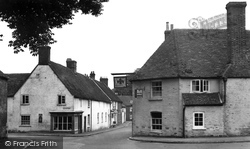
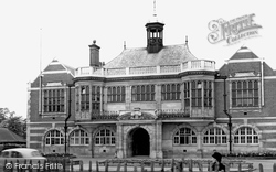
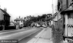
The imposing building (centre left) which juts out at the crossroads of Church Street and Claremont Lane ahead, is now occupied by the National Westminster Bank.
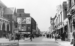
The building was used for Council business as well as a music hall until the construction of the Civic Centre in the 1960s.
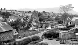
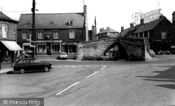
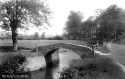
The building beside the bridge, now called Bridge Crafts, houses a post office, craft centre and tea shop.
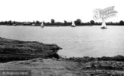
Some 24 square miles of the 4,000 acres that constitute the Water Park are fully established at South Cerney, offering water sports, angling and sailing within a holiday and recreational centre
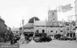
We are looking northwards towards the Square (centre), with 18th-century brick and tile houses on both sides of Wimborne Street.
On the centre left, in the far distance, is a garage.
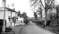
The shop under the blind (left) is no longer a shop, but the white house (centre) is still there. We may be glad that the ugly power line post has also gone.
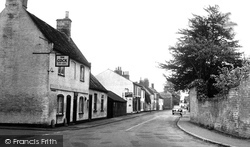
This is the village centre.
Walk away from Watford Way to the east along The Burroughs towards the original village centre.
Looking north-eastwards towards Bradpole, the spire of Holy Trinity can be seen on the skyline (centre).
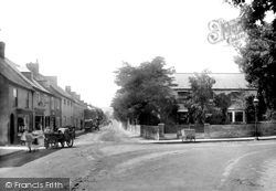
Further along the south side of the street (left of centre) is the Old Inn. West Court is behind the hand-cart.
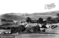
Looking north-east, from Hyde Hill, we can see Hyde in the foreground (left) and Berry Farm and Walditch hamlet in the middle distance (centre).
The church tower can be seen in the centre of the view, which looks west along what is now called All Saints Road (in 1903 it was Benhill Road).
Note the unu- sual fret-cut timber canopy on the late 18th-century house in the centre of the photograph.
Mr R W Kail, baker, grocer and confectioner (centre) was continuing in the same business which had operated in these premises since c1828.
One of the first buildings that the visitor will meet is the picturesque 15th-century thatched Axe and Compasses public house (centre).
The last white building is the Jubilee Reading Room and St James Parish Centre.
This place was once a bustling wool centre, but it has not grown much since. When Daniel Defoe visited, there were 20,000 sheep being sold here.
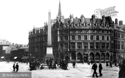
We are at the heart of the city centre, and this is now all pedestrianised. The Albany Hotel, dating from the late 1870s, was originally a Temperance establishment.
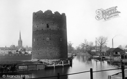
It was once a vital waterway for the carrying of fleeces and woollen produce, for Norwich was once one of the great weaving centres of medieval England.
Fortunately for the village, it is now by- passed by the busy A22, but until then traffic had to negotiate this very sharp bend, and the London to Eastbourne traffic made the centre of
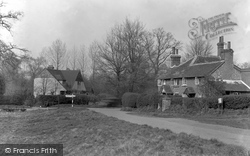
The hamlet is centred upon a long hour- glass-shaped green; this view was taken at its north end, with Shophouse Lane on the right and August Lane on the left.
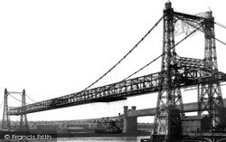
On the Widnes side of the bridge the world's first double- decker bus service was started in 1909 especially to meet passengers from the bridge and give them a ride into the centre of the town
Archaeologists say that during the Dark Ages the village centre was north of the church, around what is now the car park opposite the Civic Hall.
Places (57)
Photos (98)
Memories (1253)
Books (2)
Maps (316)


