Places
26 places found.
Those places high-lighted have photos. All locations may have maps, books and memories.
- Cemmaes Road, Powys
- Six Road Ends, County Down
- Road Weedon, Northamptonshire
- Severn Road Bridge, Gloucestershire
- Roade, Northamptonshire
- Berkeley Road, Gloucestershire
- Harling Road, Norfolk
- Road Green, Devon
- Builth Road, Powys
- Cross Roads, Yorkshire
- Steele Road, Borders
- Cross Roads, Devon
- Four Roads, Dyfed
- Road Green, Norfolk
- Biggar Road, Strathclyde
- Clarbeston Road, Dyfed
- Five Roads, Dyfed
- Eccles Road, Norfolk
- Grampound Road, Cornwall
- Morchard Road, Devon
- Wood Road, Greater Manchester
- Four Roads, Isle of Man
- St Columb Road, Cornwall
- Clipiau, Gwynedd (near Cemmaes Road)
- New Road Side, Yorkshire (near Silsden)
- New Road Side, Yorkshire (near Cleckheaton)
Photos
14,329 photos found. Showing results 2,741 to 2,760.
Maps
476 maps found.
Books
5 books found. Showing results 3,289 to 5.
Memories
11,058 memories found. Showing results 1,371 to 1,380.
Harrogate Station Square
Here is Station Square appearing as its architects intended, an open airy town centre piece. The gardens in the foreground are the Coronation Gardens of c.1953, which complimented the Victorian square admirably. Just as ...Read more
A memory of Harrogate in 1965 by
Slag Heaps
I was born in Birks Road, Cleator Moor in 1954. I was from a large family called Sheldrake. We lived over the railway bridge towards the brewery. The neighbours that I know of are: the Watsons, the Moors, the Wrights, the ...Read more
A memory of Cleator Moor in 1954 by
Oxford Road
I lived at 253 Oxford Road in the 1950s. Visited the old house in 2006 while visiting from Canada.
A memory of Kidlington in 1957 by
Cream Cakes
There was a bakery here. We would come from school, Alma Road Secondary Modern, and ask for "Any stales" from the bakery. For 3d or so we'd get a big bag full of cream cakes, doughnuts etc. My favourite was the cream filled eclair. Most ...Read more
A memory of Sidcup by
School
John Major, who lived with his parents in Longfellow Road, started school this year, 1948, in CHEAM COMMON ... which was Balmoral Road School when I was there in 1932! His father's garden ornaments were sold from the family shop in Central Road. Yes! He did become Prime Minister.
A memory of Worcester Park in 1948 by
Re Tony Bros Ice Cream
I remember Tony Bros ice cream parlour off Acton High Street. On some Sundays my father would take me for a treat for a cornet or wafer scooped out of the big drum on the counter, it was always after giving our dog ...Read more
A memory of South Harefield by
War Years
We lived first in Vinson Close, then in Glencorse in the High Street, next door to the Commodore. My friends included Eric Cox, who lived opposite in a flat over the undertaker's; Les Forrow, whose father was manager of a grocer's ...Read more
A memory of Orpington in 1940 by
Cheam Road
I lived in Sutton from 1959 to 2004 but I do not remember anywhere in Cheam Rd that looks like this! Possibly a different Cheam?
A memory of Sutton
Netherne
Hooley Hospital, although near Hooley, was in fact Netherne Hospital for the mentally ill. Those patients allowed out frequented the Hooley shops, The Star public house (long gone due to road widening) and village jumble sales. The hospital ...Read more
A memory of Hooley in 1960 by
Priory Road 1962 To 1988
My father, William J Smith (Bill) had a newsagent at 47 Priory Road between 1962 and 1988 which was opposite Ports the Bakers. I remember seeing queues of people coming out of the Bakers on a Saturday morning to get ...Read more
A memory of South Park in 1970 by
Your search returned a large number of results. Please try to refine your search further.
Captions
5,036 captions found. Showing results 3,289 to 3,312.
This view shows the new Maternity Unit, which opened in 1961 on a site off Cottingham Road, opposite the boating lake.
After crossing the ancient causeway known as the King's Highway (which runs from Belsars Hill at Willingham to Aldreth) we reach the green at Haddenham and the road to Ely.
The Cowper Arms lies at the corner of Colyer Close and Station Road.
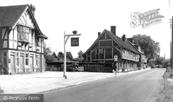
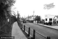
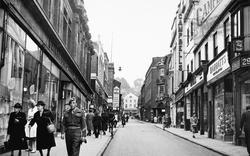
The Savoy Café is on the right, and further down hill across the road Mazda lamps are for sale close to the inn sign.
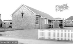
Built at No 65 Oxford Road, the church was opened in 1964 after years of fund- raising.
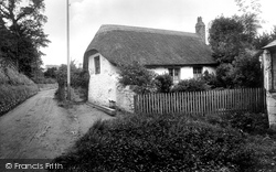
This thatched cottage with its little garden stood in Pondhu Road, in the valley bottom to the south west of the town centre.
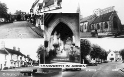
Modern houses proliferate in Tanworth now, but the old chestnut tree (glimpsed top left) still casts a shade over the green, and the Bell Inn (top and bottom left), across the road from the
Main Street crosses Church Street, the A612, to become Station Road as far as the railway line, which runs between the village and the river.
They have stood on this location, at the edge of the green on Broxhill Road, since about 1829.
This curious name apparently comes from the Latin for a tenth or ten, the ten being iron rods or 'dickers' which a medieval ironmaster paid as his rent for the land hereabouts.
Indeed, the story is told that the road was so bad that one of the potholes was filled with a fully harnessed dead cart-horse.
Bramley Road to the south has an avenue of horse chestnut trees.
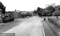
On both sides of the road the white lines seem to go past the central reservation – this would not be so today.
The Jolly Miller on Hook Road has a skittles evening each week. It has ten bedrooms, all with televisions - they would not have had these in 1955. A single bedroom costs £39 including breakfast.
The Baptist church is in regular use in Junction Road.
Viewed from the raised footpath, the summit of Perrymount Road merges into the Broadway.
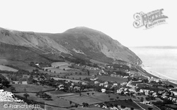
Tunnels were pierced though these peaks for the railway, and in later years a road tunnel was also blasted through.
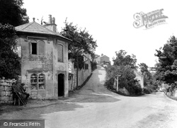
In days gone by there was a gate across the road at this point which barred the way to passers-by, who could only proceed on payment of a toll.
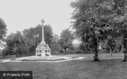
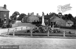
East of Throwley Road is Manor Park. It grew in area as a result of purchases and gifts, but started out as a war memorial park.
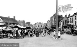
The roof of the Market House, to the left of the picture, dates back to the 16th century and was preserved when road-widening operations took place in 1937.
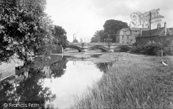
Another view along the Welland towards Town Bridge, over which the old Great North Road crossed into Lincolnshire.
The road deviates to the right here, to tackle the climb of 150 feet up The Strait and Steep Hill.
Ludford is a now a single-street village on the Louth to Gainsborough road at the head of the River Bain, which flows south through the Wolds to join the River Witham.
Again we see an empty road, but motor traffic has made an appearance in the form of two parked motor cars, one alongside a striped sign post to Clitheroe.
Places (26)
Photos (14329)
Memories (11058)
Books (5)
Maps (476)


