Places
17 places found.
Those places high-lighted have photos. All locations may have maps, books and memories.
- Bridge End, Oxfordshire
- Bridge End, Lincolnshire
- Bridge End, Essex
- Bridge End, Bedfordshire
- Bridge End, Clwyd
- Bridge End, Warwickshire
- Bridge End, Surrey
- Bridge End, Durham (near Frosterley)
- Bridge End, Northumberland (near Hexham)
- Bridge End, Hereford & Worcester (near Tirley)
- Bridge End, Hereford & Worcester (near Bosbury)
- Bridge End, Shetland Islands
- Bridge End, Cumbria (near Carlisle)
- Bridge End, Northumberland (near Hexham)
- Bridge End, Devon (near Kingsbridge)
- Bridge End, Devon (near Sidmouth)
- West End, Yorkshire (near Pateley Bridge)
Photos
40 photos found. Showing results 101 to 40.
Maps
520 maps found.
Books
2 books found. Showing results 121 to 2.
Memories
1,928 memories found. Showing results 51 to 60.
Holidays With Grandad
Thank you for showing the photo of Bank Houses, the house on the right was where my grandad lived and I spent a lot of very happy holidays there. His garden was aways full of lovely things to eat and as I lived in an ...Read more
A memory of Somersham in 1954 by
Name Change
Interesting to see the photo entitled "Solva, Middle Hill". The village shown here is known as "Middle Mill" and the mill (on the River Solfach) is in the centre behind the bridge.
A memory of Solva by
Found Memories Of Early Days At Yealmpton
Now living in Australia and having revisited Yealmpton in recent times, the changes are amazing. Where there used to be fields in which I played with mates, sadly houses now stand. The old bridge, church, ...Read more
A memory of Yealmpton in 1950 by
Ivybank Childrens Home
I thought I would leave a message here also, I was a child at Ivybank Children's Home in Nightingale Lane. Sadly though I don't think it is there any longer. We were an all-girls children's home, with a range of ages from 5 ...Read more
A memory of Farncombe in 1958 by
Living In Chilton
My family moved to Chilton Foliat and took over the "Old Post Office". I was still young then and went to the old school run by Mr & Mrs Hassall who lived next door to the school. Two classrooms and very fond memories. ...Read more
A memory of Chilton Foliat in 1964 by
Farming Pub And Family
Because of the rural nature of Llanfihangel GM memories stretch across the village hub - the Crown pub on the bend by the bridge through to the small cemetary near Ty Ucha farm - through to Cerrigydruddion and ...Read more
A memory of Llanfihangel Glyn Myfyr by
The Railway Crossing
Hi all. As a child of around 7 years or so I recall vising my grandad and grandma who lived at a small cottage near the railway crossing. I will look up the name of the road and add later to this story. My grandad's ...Read more
A memory of Llandrindod Wells in 1930 by
Croydon Thornton Heath And Norbury
I was born and brought up in Croydon and although I now live in the Channel Islands I still regard it as my home. I remember living in Northborough Road, Norbury and attending Norbury Manor Infants School only ...Read more
A memory of Croydon in 1963 by
Oh And
King Street and its area was known as 'over the other side' to everyone on the Broadway side of the railway bridge - a mysterious place that adults would talk of to each other concerning pubs or the cemetery or the tax office. "Oh, he used ...Read more
A memory of Southall in 1975 by
A Great Place To Live
Having been born and brought up in Buckhusrt Hill in the 1960s and 1970s and 1980s and now living in Kent, it reminds me what a unique place it once was. My immediate memories are of Lords Bushes and living in Forest ...Read more
A memory of Buckhurst Hill by
Captions
1,770 captions found. Showing results 121 to 144.
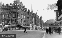
This view shows the junction of Boar Lane and Briggate, looking towards the Corn Exchange.
The road is named after the Tontine Hotel, which was built in 1783 to accommodate visitors coming to see the new bridge.
Its rugged stone bridges and its proximity to the Pennines make it a most picturesque line. Carnforth is towards the northern end; the top section was abandoned after the M6 motorway was built.
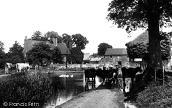
Cattle seek the summer shade and the cool waters of the Bourne at this ancient farm.
Both bridge and buildings survive. Witchampton was best known for its paper mill at the other end of the village, which dated back to at least 1786 and closed only a few years ago.
The weir, a mile up the river from Totnes Bridge, was built in 1581 to provide water for the town mills, and marks the end of the freshwater Dart - below here the river is tidal.
Its rugged stone bridges and its proximity to the Pennines make it a most picturesque line. Carnforth is towards the northern end; the top section was abandoned after the M6 motorway was built.
The 'Compton Castle', which we see here, was built by B Cox & Company of Falmouth in 1914; she originally had an open bridge which was enclosed in the 1920s.
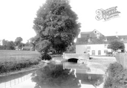
The house at the end of the bridge is now painted cream, giving a lift to this view of the village.
The building on the right of the bridge was called the Custom House Hotel at this date - it was later named the Dolphin. The original Custom House was in Sandgate on the other side of the road.
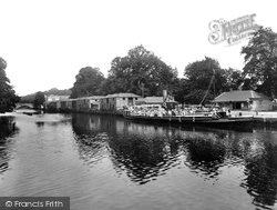
The celebrated village of Cookham, a mile or so south of Bourne End, is seen here from the boatyard on the Buckinghamshire bank, although curiously until 1992 a strip of about 30 feet along
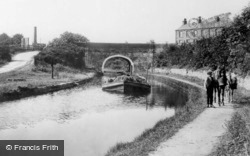
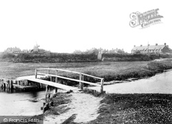
A well-worn path indicates a bridge frequently used by the locals.
The road to Harlow was a turnpike costing 1s for a coach and horses, and 1d for a horse.
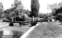
Of the 11 locks on the Chelmer & Blackwater Navigation, this is something of a halfway house. It stands just upstream of the road to Hatfield Peverel, in an area sometimes known as World's End.
Taken opposite Lower Quemerford Mill, this view shows Marden Bridge and the Mill House on the right.
Its 18th-century picturesque naturalistic park, designed by Bridgeman, Kent and Capability Brown, is dotted with Georgian temples, columns and garden buildings.
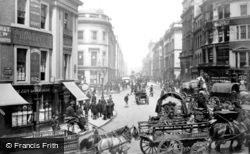
Here we are at the junction of Cannon Street and the approach to the new London Bridge; the street was opened by King William IV in 1831, and named after him.
On the Salisbury side of Harnham Bridge, De Vaux Place leads to The Close—the Harnham Gate is at the far end of the wall.
Cobbled Church Street leads to the church of St Michael and All Angels - the parish boundaries once extended to Chorley. At the end of this street is the ancient base of a restored preaching cross.
Here we are at the junction of Cannon Street and the approach to the new London Bridge; the street was opened by King William IV in 1831, and named after him.
Just above the left-hand end of the bridge in S177036 (page 70) and here in 72297 we can see buildings which in the 1920s housed Cooper & Hall, the engineers.
The bridge over the River Calder is no longer the main arterial road from the south, having been superseded by the new bridge of 1933.
Now the Humber Bridge has given Goxhill a new life as a commuter village for Hull, although the part we see here has retained its village feel.
At the other end of Frimley High Street, we cross the River Blackwater, which is the boundary between Surrey and Hampshire.
Places (17)
Photos (40)
Memories (1928)
Books (2)
Maps (520)


