Places
36 places found.
Did you mean: street or streetly ?
Those places high-lighted have photos. All locations may have maps, books and memories.
- Heathfield, Sussex (near Cade Street)
- Street, Somerset
- Chester-Le-Street, Durham
- Adwick Le Street, Yorkshire
- Scotch Street, County Armagh
- Friday Street, Surrey
- Potter Street, Essex
- Boughton Street, Kent
- Newgate Street, Hertfordshire
- Streetly, West Midlands
- Shalmsford Street, Kent
- Green Street Green, Greater London
- Boreham Street, Sussex
- Park Street, Hertfordshire
- Cade Street, Sussex
- Appleton-le-Street, Yorkshire
- Hare Street, Hertfordshire (near Buntingford)
- Romney Street, Kent
- Trimley Lower Street, Suffolk
- Streetly End, Cambridgeshire
- Hare Street, Hertfordshire (near Stevenage)
- Brandish Street, Somerset
- Colney Street, Hertfordshire
- Langley Street, Norfolk
- Silver Street, Somerset (near Street)
- Street, Yorkshire (near Glaisdale)
- Street, Lancashire
- Street, Devon
- Street, Cumbria (near Orton)
- Street, Somerset (near Chard)
- Bird Street, Suffolk
- Black Street, Suffolk
- Ash Street, Suffolk
- Broad Street, Wiltshire
- Brome Street, Suffolk
- Penn Street, Buckinghamshire
Photos
21,809 photos found. Showing results 3,021 to 3,040.
Maps
1,622 maps found.
Books
1 books found. Showing results 3,625 to 1.
Memories
6,667 memories found. Showing results 1,511 to 1,520.
Shaftesbury Crescent
My grandparents lived at 41 Shaftesbury Crescent near the baseball ground from 1946 till 1980, next door lived Ethel Paling, she was a wonderful cook, the smell of her baking I can still remember today. Next to Ethel was Mr and ...Read more
A memory of Pear Tree in 1946 by
Cinema
In the early 50's I used to attend film shows in this building. I seem to remember it was referred to as "The Lymp", that being an abbreviation for "Olympic". My grandfather, John Richard Dunn, was born in Bryne Street. His mother ran a ...Read more
A memory of Ogmore Vale by
Davies Family
Actually the 1940s and 50s. My mother was Sarah Davies, daughter of Charles and Emma Davies who lived at 60 High Street for many years. I used to spend my holidays with my grnadparents and aunt who lived across from them, someone ...Read more
A memory of Gilfach Goch in 1940 by
Falcon Road
We lived in 'The Queen Victoria' pub on the corner of Falcon Road and Ingrave Street. I attended Falcon Brook School. Very near to the school was a little sweet shop where you could buy penny sweets, penny halfpenny lollies, teddy bear ...Read more
A memory of Battersea in 1960
Childhood At Stretton Under Fosse
Hi to all who may read this and maybe remember my family. My father was born in Stretton in 1920 and lived next door to a Granny Coombs in the centre of the village with his mother Niome, father Jack, ...Read more
A memory of Stretton under Fosse in 1955 by
Whitchurch
I went to Whitchurch Grammar School as a boarder and we went to church every Sunday in crocodile fashion. We all put one penny in the collection! On Saturdays we went to Woolworths, the best shop -and bought licorice comfits for ...Read more
A memory of Whitchurch in 1956 by
The Metropole Hotel
The hotel which features in this photo is the Metropole Hotel which was situated in Tucker Street. It had access at the rear leading down to the Promenade. Following WW2 it fell into disrepair and was demolished being replaced ...Read more
A memory of Cromer by
Port Regis White Street Sign
While on Google Earth 2 days ago I looked at the white signpost on the driveway of Port Regis, it still looks the same as the first time I saw it in the 1960s. Today it says 'Nursing Home', but it still looks the same along with the white fence, for me like looking back in time.
A memory of Broadstairs in 1963 by
Bovey Tracey
I was born in Bovey at what is now the Old Library in East Street, but in 1937 was the Liberal Club. My Godfather Dick Smaridge lived just down the street at Number 14. After his son Eric was shot down in the War I mostly lived with ...Read more
A memory of Haytor Vale in 1954 by
Happy Days
I arrived in Trafford Park in 1936 as I had moved from Chorlton cum Hardy with my sister Marjorie and mother Marjorie. My father had died in 1930. Mother rented a shop at 392 Third Avenue and I started at TP Council School aged ...Read more
A memory of Trafford Park in 1930 by
Captions
5,381 captions found. Showing results 3,625 to 3,648.
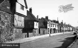
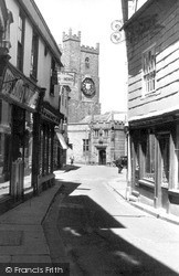
Notice the coat of arms above the corner of the street.
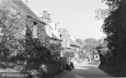
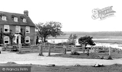
This picturesque village has cottages lining its winding streets, and the trickling sound of water can be heard from the river. This remains a nice village in which to enjoy a walk.
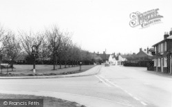
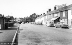
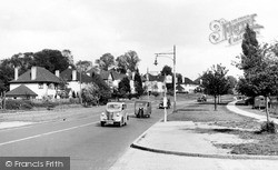
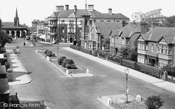
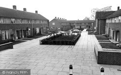
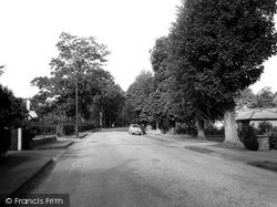
It would have been pleasant enough to live alongside a relatively up-market road of wide verges and young trees, illuminated by attractive street lighting.
In those days, when piles of seasoning timber would line the streets, Adams entertained two kings of England in his house.
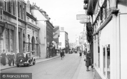
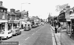
Looking in the opposite direction to No S23030 (page 79), we can see on the right-hand site of the street two of the 48 public houses that could be found in the town in 1889.
We are looking along Albion Terrace into Station Street, with the impressive portico of the station entrance on the left in the distance. The railway arrived in Saltburn in 1861.
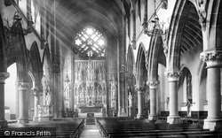
St Mary's Church was built between 1875-77 on the site of a former cotton factory in Buttermarket Street, close to the working-class districts which provided its congregation.
The left-hand side of the street, beyond the tall white facade of Robert's shop, would soon change dramatically with the construction of the Forge Shopping Centre.
Frith's intrepid photographer sought a high vantage point at Boots Corner for this view down Buttermarket Street.
Bridge Street was clearly Warrington's shopping centre in the 1950s. The west side offered some of Warrington's finest shops.
Road traffic was much lighter in the 1950s, but even then Sankey Street represented a major bottleneck on the main A57 Liverpool to Manchester Road.
Asco, the Accessories Supply Co, and the neighbouring shops on the left (now demolished) stood on the corner of Pinners Brow, a street name recording Warrington's former pin-making industry.
The River Brett flows parallel to the street on the right.
These views (below and pages 40-41) up and down Church Street would have been familiar to Dylan Thomas, who lived near New Quay in 1944, and to many visitors, who have to park their cars at the top of
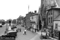
Bradleys, on the right of the street, is an interesting premises.
The centre was to be managed by the Potter Street Residents and Community Association. Landlord and tenant matters were to be dealt with by the residents' committee.
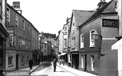
Like many premises in town, the frontage has changed at street level, but above the slates remain as they always did.
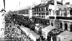
The streets are packed with onlookers, and anxious officials wait by the entrance to the site of the new town hall.
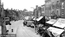
A large number of the buildings in the picture are now Grade II listed, but it is not likely that the unkempt state of the High Street in 1955 did much to foster civic pride.
As we leave the station, the first street we see is Dorridge Road.
It had already been popular with wealthy city merchants for a century or so, and much housing development had taken place along the High Street.
This is the south end of the High Street, with the ramparts of its ruined castle visible in the middle of the picture. Totnes had a medieval wall around the centre, much of it still intact.
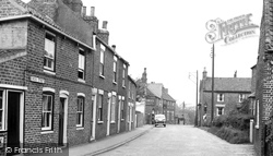
This street, in one of the largest of the Holderness coastal villages, used to be called Poskett Lane.
We are looking in the opposite direction from E167015, page 25, along Market Street.
Places (385)
Photos (21809)
Memories (6667)
Books (1)
Maps (1622)


