Places
36 places found.
Those places high-lighted have photos. All locations may have maps, books and memories.
- Cardiff, South Glamorgan
- Barry, South Glamorgan
- Penarth, South Glamorgan
- Rhoose, South Glamorgan
- St Athan, South Glamorgan
- Cowbridge, South Glamorgan
- South Molton, Devon
- Llantwit Major, South Glamorgan
- Chipping Sodbury, Avon
- South Chingford, Greater London
- South Shields, Tyne and Wear
- Ayr, Strathclyde
- St Donat's, South Glamorgan
- Llanblethian, South Glamorgan
- Thornbury, Avon
- Llandough, South Glamorgan
- Fonmon, South Glamorgan
- St Nicholas, South Glamorgan
- Jarrow, Tyne and Wear
- Penmark, South Glamorgan
- Font-y-gary, South Glamorgan
- Maybole, Strathclyde
- Yate, Avon
- Oxford, Oxfordshire
- Torquay, Devon
- Newquay, Cornwall
- Salisbury, Wiltshire
- Bournemouth, Dorset
- St Ives, Cornwall
- Falmouth, Cornwall
- Guildford, Surrey
- Bath, Avon
- Looe, Cornwall
- Reigate, Surrey
- Minehead, Somerset
- Bude, Cornwall
Photos
5,607 photos found. Showing results 61 to 80.
Maps
2,499 maps found.
Books
23 books found. Showing results 73 to 23.
Memories
1,580 memories found. Showing results 31 to 40.
Carnforth Lodge Lancaster Road
As a child in the 1960’s and 70’s I went several times with my family to visit Mrs Esther Pomfret (Auntie Ettie to us; she was a relation of my father's) at Carnforth Lodge, Lancaster Road. I don't think this is ...Read more
A memory of Carnforth by
Days Gone By
I lived in Fleetwood from around 1948 - 1952. My dad was in the army and we lived in the Drill Hall in (Ithink) Preston Street. I can remember going to the library nearby and playing on the beach near some piers. There was a young ...Read more
A memory of Fleetwood by
Happy Evacuee
This photo is of Bank Square, I was evacuated here in 1939 with brother Bob and was placed with the butcher at No16, that is it on right with white facia, Butcher was Harold Stephens, and his wife and daughter Kathleen. I still ...Read more
A memory of St Just in 1940 by
My Three Years At Reedham
I recall walking past the gate-house with my mother on a Tuesday afternoon in March 1950. I was to start my lustrous career there for a period of three years, leaving in March 1953. Starting there was an real shock to the ...Read more
A memory of Purley in 1950 by
Born Here In 1947
I was born around the corner from the photo, at 15 Eastcote Lane, just off the Northolt Road, in 1947 (born at home, too, not in a hospital!) Remember going to school on Northolt Road, maybe a quarter mile west of the ...Read more
A memory of South Harrow in 1954 by
The Two Bob Gun
At the top of Queens Road in Buckhurst Hill is a small newsagents shop. It was owned by the Mr & Mrs. Silk. The shop sold papers magazines cigarettes, sweets and a few toys. Situated right across the road from where ...Read more
A memory of Buckhurst Hill by
The Raf Estate
We lived on the RAF estate in Ickenham during the late 1950s, in a semi-detached house at 14 Nettleton Road. Every RAF home mirrored the next; their furnishings were also identical. You could move from Scotland to England (which we ...Read more
A memory of Ickenham in 1957 by
Perry Street/Pelham Road South
I live in West Sussex [between Brighton and Worthing] now but lived in Northfleet until 1971. Several photos bought back some vivid memories. In 1955 I would have been attending Cecil Road junior school, just off ...Read more
A memory of Northfleet in 1955 by
Early Childhood
After retiring from the RAF, my father was with Air Ministry Constabulary and we moved to Stanwix in 1938 when my father was posted to 4 MU. We lived in Knowe Park Avenue and I attended Stanwix School. My sister attended the ...Read more
A memory of Stanwix in 1930 by
Buffell Family
I am researching my late grandmother (Molly Bufell)'s family history and wonder if anyone can help. I know a lot of her sisters performed on the stage in Workington and her mother owned a guest house where a lot of the actors ...Read more
A memory of Workington by
Captions
2,476 captions found. Showing results 73 to 96.
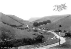
Hill Bottom (centre), south-west of Renscombe Farm is seen here in a view towards Chapman's Pool and Houn's-tout Cliff The slopes of the Plain and St Alban's Head (left) rise to the south.
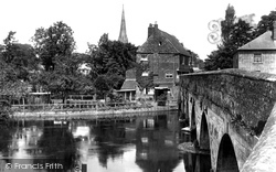
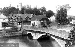
The bridge was built by the Bishop of Salisbury around 1240 to facilitate trade between the new city and the south: the Cathedral spire can be seen in the background.
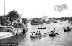
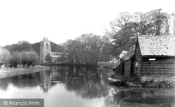
So successful was the boating lake, which opened in 1924, that six years later it was doubled in size by an extension south of the big bridge.
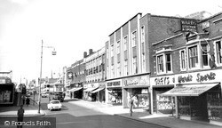
In the 1930s South Street was dubbed 'The Golden Mile' and retailers fortunate enough to acquire sites knew that they would prosper from the tidal wave of consumerism engulfing the town.
Back across the river, via the Batheaston toll bridge, follow the Avon south before turning right to Monkton Combe, a delightful village nestling in the valley of the Midford Brook.
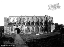
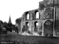
In 1903 the main south wall of the abbey was built up to the ruined west front, and repairs to the roof and buttresses on the north side and east end were undertaken.
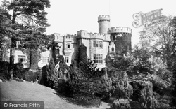
This view was taken looking towards the south side of the Watch Tower and Round Tower and the Mansion House. This was designed by A S Goodridge of Bath.
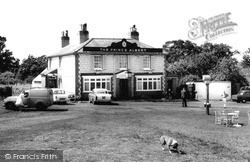
The Prince Albert stands further south on Horley Road, actually in South Earlsfield rather than Salfords, and north of the junction of Horley Road with Woodhatch Road.
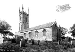
We see here the south porch, south aisle and east wall of the chancel in granite blocks. On the far side there is a north transept. St Brevita's church was restored in 1878-91.
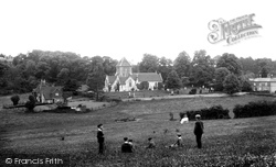
This compact little village in a hollow south of the Hog's Back is benignly watched over by St Lawrence's Church, with its wooden 14th-century south porch.
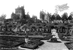
Situated 3.5 miles south-south-west of Crieff, Drummond Castle was originally built by John, first Lord Drummond in 1491. It has endured its share of troubles.
Plenty of stone-built houses and cottages stand in the shadow of Wytham Great Wood, and just to the south lies 700-acre Wytham Park. The house is now part of Oxford University.
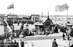
The pier opened in 1868 as the South Pier, then changed its name to Blackpool Central when the Victoria (now South) Pier opened.
Race Hill was once the main road into Launceston from the south; it leads down to the South Gate, which is the last remnant of the old town walls.
The Gothic-style drinking fountain of 1860 has been relocated to the cemetery in South Road, presumably to save it from the traffic, while the good stone-tile-roofed building beyond on the corner of South
The reverse view from D69020, looking south towards the ancient cross-roads of Watling Street and the Icknield Way.
The church of St James at Hemingford Grey comprises a chancel, a vestry, north and south aisles, a nave, a tower and a south porch. In 1741, the spire was blown off in a great gale.
Here we see the south transept of the abbey before the restoration had taken place, with the spire of St Paul`s in the background.
Today, it is still almost entirely enclosed by water - the English Channel lies to the south-east and south-west, Pagham Harbour to the north-east, and a brook, known as the Broad Rife, to the north-west
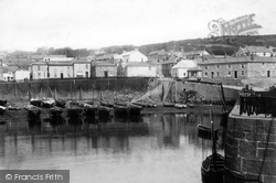
One mile south of Newlyn, Mousehole's medieval harbour drains completely at low water.
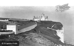
The South Foreland Lower Light 1898. Three hundred feet above the sea, this white-painted Victorian lighthouse housed a two-ton turntable operating the revolving light.
Seen here from the south-west, the sheer enormity of the late Victorian work is clear: the left-hand section is the much-restored medieval shell keep built for Henry II in the 12th century.
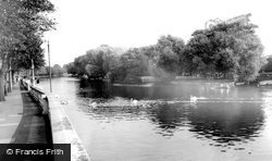
We are looking south-east from the Embankment. The river basks in afternoon sunshine, with swans and a hired rowing boat on the water.
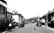
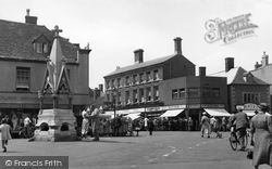
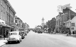
Although the B1004 is called the High Street, it is South Street that provides the main shopping centre for the town.
Places (15471)
Photos (5607)
Memories (1580)
Books (23)
Maps (2499)


