Old and Historic Map Prints of the UK

Rediscover the history of your local area with a range of vintage maps from The Francis Frith Collection.
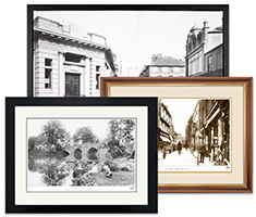
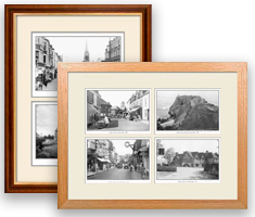
Shop our range of historic maps professionally printed and prepared in our workshop, with the utmost attention to detail. Available from the early 1800s up until the late 1940s and in a range of scales. Buy in a range of frame sizes, formats, styles including on canvas and with a personalised inscription set into the mount.
Prices range from $45
How to begin...
To create your Print, browse our Archive to find the photo or map you would like, then select Buy Print from the list of available options.
More Details
Whether you want to buy a ready to hang Framed Print, or Canvas, or a Mounted Print for mailing overseas, or just a print on its own - there are lots of options to choose here:

Prints-only
Available for bespoke decorating projects. Often popular with interior designers.
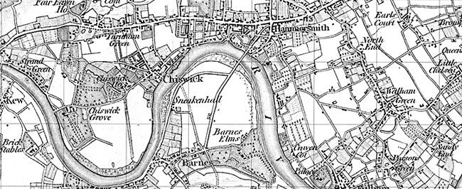
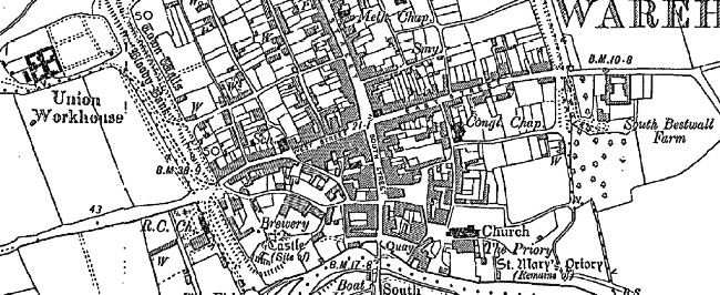
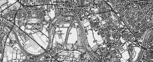
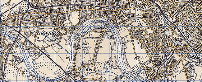
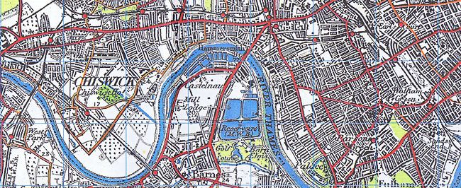
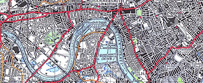
About our Ordnance Survey Maps
We are proud to share thousands of 19th and 20th-century maps on The Francis Frith Collection website.
Try an online search today and rediscover the ever changing landscape of your favourite towns and villages. These wonderful maps look stunning presented as mounted or framed prints and on stretched canvas prepared in our warehouse. Learn more about the Historic Ordnance Survey series here:
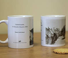
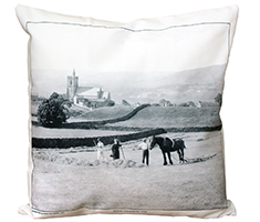
You might also like:
Take a look at our other nostalgic photo gifts and keepsakes.

Related
Old Maps
- Framing
- Photo Prints
- Sheet Maps
- Old Maps
- Canvas
- Mounting
- Prints-only
- Calendars
- Postcode Centred
- Multi-Photo
- Photo Books
- Jigsaws
- Presentation
- Mugs
- Cushion Covers
- Tea Towels
- Gift Cards
- Wallpaper
All Departments
Business Owner?
Trade discounts available!
Shopping with us
