Places
5 places found.
Those places high-lighted have photos. All locations may have maps, books and memories.
Photos
9,649 photos found. Showing results 261 to 280.
Maps
18 maps found.
Books
13 books found. Showing results 313 to 13.
Memories
4,612 memories found. Showing results 131 to 140.
Life At The Schoolhouse 1951 To 1958
My mother, Betty Cronin, was the head teacher at Dunsfold School from around 1951 to 1958 and I lived in the schoolhouse with her and my sister Susan during this period. Both my sister and I went to school in ...Read more
A memory of Dunsfold by
Kiddington 1938 To 1955
My very large family moved into The Chequers in March 1938. It had been a pub many years before and it was very much more suitable for us than our previous three bed roomed council house at Steeple Aston. We were not unknown ...Read more
A memory of Kiddington by
Lasgarn View
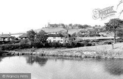
I was fascinated when I saw the new development of Garndiffaith photo. This photo is of Lasgarn View, Varteg, which is just above the Garn. I was born in Primrose Cottage in 1951 with my brother as we were twins. My name was ...Read more
A memory of Garndiffaith by
Millennium Stone
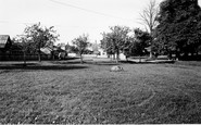
The large stone in the photograph was used as part of the millennium seat, which is now situated on the village green. The building to the left of the picture is 'The Forge' - the Swann family have lived here for over 80 years.
A memory of Great Ouseburn by
Oakhanger, Hampshire
Grew up in Oakhanger and enjoyed the freedom of exploring the common in the centre of the village. Some good times were had sledging down a hill on the common in the snow. Also, finding and catching tadpoles in the pond ...Read more
A memory of Oakhanger
School Holidays
I remember long hot summers back then 1960’s playing in Crago’s barn just outside of village and picking primroses down the hill at Treburgy Water with my sister .. we had to fill a basket and then when we got home we had ...Read more
A memory of Dobwalls by
Shop Names And Trades.
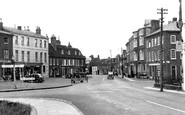
The buildings from left to right are an antique shop, then a sweet shop that was full of the most delightful assortment of sweets all in glass jars and weighed out on brass scales into white paper bags. Then Dudeney and Johnston ...Read more
A memory of Woburn by
An Old Mans Memories
I was born in 1922 in the village of Mundford. My Father was the village policeman. The village was then a self-contained society and provided all the necessities of life, including a doctor, blacksmith, carpenter and general ...Read more
A memory of Mundford in 1920 by
Memories From My Father Rod Dean
This is what Dad had to say when I emailed him this site and the photos from 1955. Dad lived in Oakley from childhood until 1987, when as a family we moved to Adelaide Australia. I myself lived in the village from ...Read more
A memory of Oakley in 1955 by
Growing Up In Burnham
In this year I was 5 years old, and just starting school in the church hall in Gore Road, which is the road in which I also grew up. I remember Burnham as a small, close-knit community, we went to church every Sunday, it was ...Read more
A memory of Burnham in 1962 by
Captions
5,016 captions found. Showing results 313 to 336.
Straddling an unclassified road between Hayfield and Marple, the village of Mellor is noted for its church, which is dedicated to St Thomas.
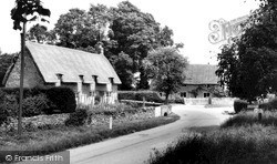
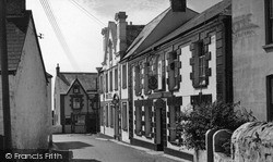
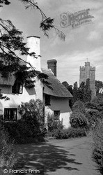
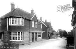
Pargetting is a feature of this delightful building, which used to house the village fire engine (which was not famed for speed—it was often a case of 'first find your horse').
The main road (A4136) skirts Longhope, and consequently the village remains a peaceful backwater.
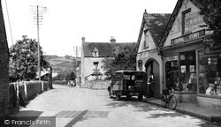
A lone carriage is parked on the other side of the street from the newly-built Red Lion Inn. Just beyond, down the road, is J J Bacon's Stores.
Otford is on the main Sevenoaks to Dartford road, alongside the River?Darent; it has become something of a commuter village today.
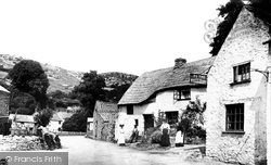
The Village 1908 Of the houses and cottages in this view, only the slate- roofed row with the chimney smoke survives.
The large very attractive Saxon village on the road from Oakham to Stamford now overlooks the modern dam on the north-east angle of Rutland Water formed in the valley of the River Gwash,
We are at the foot of the Downs by the route of the London to Brighton main line railway.
The Plaiting School in the village employed village ladies and children who supplemented the low agricultural wages by weaving strips of straw, called plait, to the hat-making trade in Luton.
Lying east of Pocklington, this village was bought in the 18th century by the 5th Duke of Devonshire. He sold it in 1845 to the railway entrepreneur George Hudson.
Goring is a riverside village lying between the beech-clad hills of the Chilterns and the windswept slopes of the Berkshire Downs.
A view of the village of Whitekirk.
The village, which in parochial terms was originally bracketed together with Kibworth Beauchamp and Kibworth Harcourt, which share the mother church of St Wilfred, lies some eight miles to the south
On the north-east side of the county, Hose is situated close to the Nottinghamshire border in the Vale of Belvoir.
Very close to Junction 19 on the M1 motorway, the village is unremarkable.
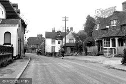
The school with its warning sign is over to the left. The pub in the distance is still the White Hart, but the petrol station has gone. The village church is hidden behind the trees on the right.
On the north-east side of the county, Hose is situated close to the Nottinghamshire border in the Vale of Belvoir.
Located in a remote region north of Petworth, the village was originally formed in a clearing in the woods. The local wealden clay district is remarkable for large oak trees.
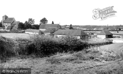
It has a medieval parish church in the western part of the village, but all is not as it seems in this view from the east.
The school with its warning sign is over to the left. The pub in the distance is still the White Hart, but the petrol station has gone. The village church is hidden behind the trees on the right.
A view of the King William IV public house, one of the four that existed in the village at this time.
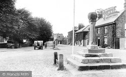
The village was extensively remodelled in the 1820s, though parts of the parish church date from the 14th century. This picture shows the cobbled square, complete with stocks and the village cross.
The village was extensively remodelled in the 1820s, though parts of the parish church date from the 14th century. This picture shows the cobbled square, complete with stocks and the village cross.
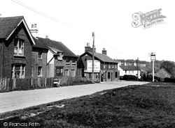
The inn's name, the Foresters' Arms, hints that the village stands on the southern hilly fringe of Ashdown Forest. The inn was originally a private house - it was first a licensed premises in 1898.
Places (5)
Photos (9649)
Memories (4612)
Books (13)
Maps (18)


