Places
36 places found.
Those places high-lighted have photos. All locations may have maps, books and memories.
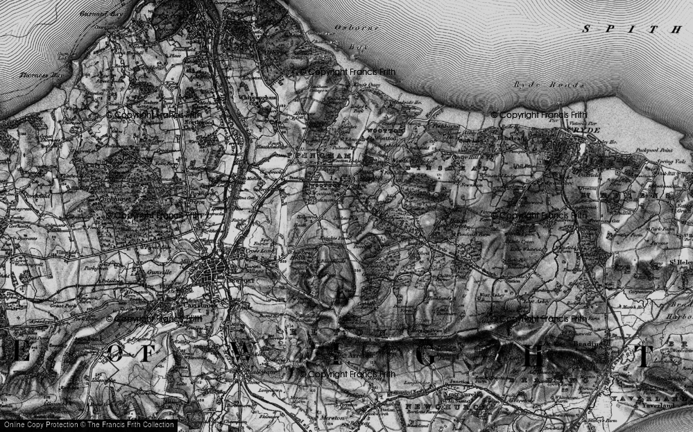
- Shanklin, Isle of Wight
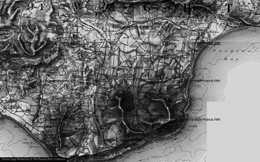
- Ventnor, Isle of Wight
- Ryde, Isle of Wight
- Cowes, Isle of Wight
- Sandown, Isle of Wight
- Port of Ness, Western Isles
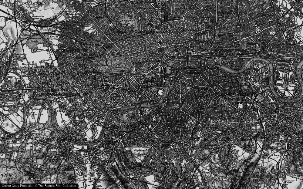
- London, Greater London
- Cambridge, Cambridgeshire
- Dublin, Republic of Ireland
- Killarney, Republic of Ireland
- Douglas, Isle of Man
- Plymouth, Devon
- Newport, Isle of Wight
- Southwold, Suffolk
- Bristol, Avon
- Lowestoft, Suffolk
- Cromer, Norfolk
- Edinburgh, Lothian
- Maldon, Essex
- Clacton-On-Sea, Essex
- Felixstowe, Suffolk
- Norwich, Norfolk
- Hitchin, Hertfordshire
- Stevenage, Hertfordshire
- Colchester, Essex
- Nottingham, Nottinghamshire
- Bedford, Bedfordshire
- Bury St Edmunds, Suffolk
- Aldeburgh, Suffolk
- St Albans, Hertfordshire
- Hunstanton, Norfolk
- Chelmsford, Essex
- Bishop's Stortford, Hertfordshire
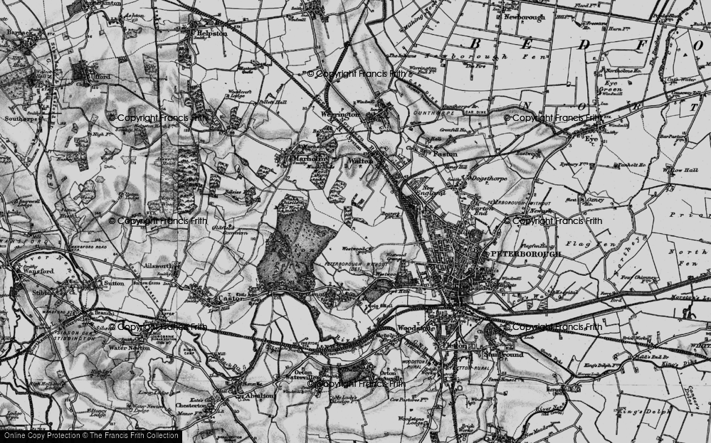
- Peterborough, Cambridgeshire
- Brentwood, Essex
- Glengarriff, Republic of Ireland
Photos
11,145 photos found. Showing results 701 to 720.
Maps
181,031 maps found.
Books
442 books found. Showing results 841 to 864.
Memories
29,068 memories found. Showing results 351 to 360.
Teignmouth Folk Festival 2008
A weekend long folk festival in June attracted crowds of spectators to the street entertainments around Teignmouth and also to the concert performances in the Carlton Theatre. Many of the entertainers were morris ...Read more
A memory of Teignmouth in 2008 by
Number 2 Montague Terrace
Barbara Brian. I loved reading your memories of Montague Terrace and I thank you for them. Were you the young Miss Andrews that rode that posh bicycle and lived behind the shop and did your dad at times teach tap ...Read more
A memory of Bishopstoke in 1930 by
Those Lazy Hazy Days Of Delamere
I have so many memories of Delamere but unlike the others who have written on this page my recall of the names are not so good. I tend to see things as pictures (and have a good memory for faces) and have vivid ...Read more
A memory of Delamere in 1966 by
Lloyds Bank Manager
Thinking of Lloyds Bank I wonder if anyone remembers the uncle from 'Only Fools and Horses', he was the bank manager at Lloyds in Byfleet, in more recent years (1970s) he would always chat to everyone once he had started on the ...Read more
A memory of Byfleet in 1970 by
Dornafield Midsummer Promenade
Totnes Rotary Club invited Heather and Gorse Clog Dancers to entertain at the Dornafield Midsummer Promenade along with other peformers. The weather was dry and cool for a mid-June evening and just right ...Read more
A memory of Two Mile Oak Cross in 2008 by
International Stores
A previous shared memory recalling International Stores reminds me that my father worked there, as a roundsman. He would cycle every day from Leiston, then do the equivalent all over again in Saxmundham, several times a day ...Read more
A memory of Saxmundham in 1930 by
Childhood Memories
We moved into Tighnabruaich when I was almost 8 yrs old. Our 1st house was on the Ardmarnock Est between Millhouse and Otter Ferry. We stayed there for around a year before moving into Corra Farm on the Ardlamont Est near ...Read more
A memory of Tighnabruaich in 1970 by
Power Boats
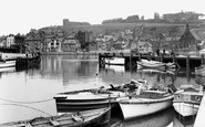
The wooden clinker built boat, painted white in the lower right of the picture, was one of a pair of fast boats that the late Arthur Shippey and Tom Louis ran from coffee house end steps. They would call loudly ""half hour trips round ...Read more
A memory of Whitby in 1953 by
Clog Morris Dancing At The Babbacombe Festival
A week long programme of events for the Babbacombe Festival included a display of clog morris by the Heather and Gorse Clog Dancers from nearby Combeinteignhead, accompanied by a large band of ...Read more
A memory of St Marychurch in 2008 by
Workman Family
My grandmother was born in Bishampton 1891, Maggie Elizabeth Workman, daughter to Honeybourn and Emma Spires. Her aunt Sarah Spires donated a large sum of money to the church, there is a plaque to say. Honeybourn's father was ...Read more
A memory of Bishampton by
Your search returned a large number of results. Please try to refine your search further.
Captions
29,395 captions found. Showing results 841 to 864.
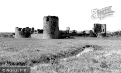
The construction of Flint Castle began within days of the signing of the treaty of Rhuddlan; it was the first of the Edwardian fortresses built to impose a new order upon Wales.
The area around Binstead, particularly the waste tips of the old quarries, is a rich source of supply for the fossil-hunt- er.
Former inhabitants of Ibsley must have been generous souls.
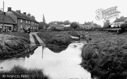
The ford and footbridge are in the centre of the estate village of Settrington, three miles east of Malton.
The area around Binstead, particularly the waste tips of the old quarries, is a rich source of supply for the fossil-hunter.
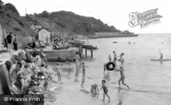
Colwell Bay, just west of Yarmouth, has a good mile of sand sheltered by the low cliffs behind.
The Shipwright's Arms on the left is still open for business, and its name gives an indication of one of the old trades in town - until the late years of Victoria's reign the town's main industry was the
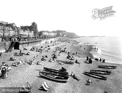
In 1913, Hastings Corporation began an ambitious scheme at a cost of £100,000 to improve all aspects of the sea front - including the construction of places of entertainment, pleasure grounds and
A row of mainly Georgian houses gives a gracious air to the village.
A delightful view of Hazelgrove, a popular area of the town for promenading.
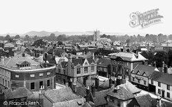
Gothic, Jacobean, classical and domestic architecture testify to the history of the town's development. Note the attractive, almost Flemish gabling of the building in the centre of the picture.
As an important cathedral city, Winchester established an important tradition of tending the sick, probably from the days when pilgrims came to the shrine of St Swithun in search of miraculous cures
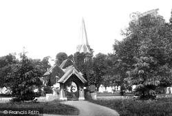
East of Stoke Park, the medieval church of Stoke Poges is famous beyond its architecture: this is reputedly the churchyard of Thomas Gray's, 'Elegy from a Country Churchyard', one of the most well
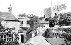
Kendal Castle, originally a 13th-century structure, was owned by the family of Katherine Parr, the last wife of Henry VIII, in the 16th century.
The fine tower and spire of St Peter's Church dominated much of central Bournemouth, until unkind planners allowed the construction of too many large buildings nearby.
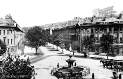
In this view the trees are more mature and obscure the long facades of this eleven hundred foot long road.
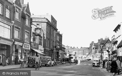
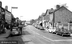
The crowded and busy pavements on both sides of the street, and the pedestrian crossing marked with belisha beacons in the middle of the photograph, show little indication of the enormous weight of motor
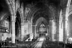
The parish church interior enshrines much of Warrington's history through its memorials.
Stockton Heath began to develop as a Warrington suburb with the coming of the tram in 1905. This view towards the Ship Canal shows London Road free of today's endless stream of traffic.
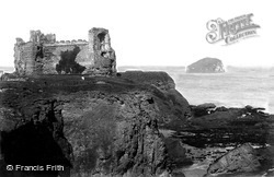
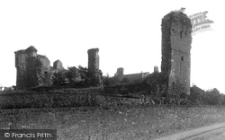
Tantallon was the stronghold of the Douglases, wardens of the Border Marches, lords of Galloway, and by the end of the 15th century masters of much of Lothian, Stirlingshire and Clydesdale.
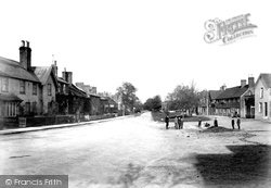
Nowadays, virtually all we see in this tranquil Edwardian view of Crawley Green at the north end of the High Street has been swept away, although elements of the grassed area and a couple of trees survive
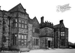
The house was designed by the eminent architect, Walter Brierley of York (who also designed Dyke Nook, the home of the Blake family on Whalley Road).
William Strickland is often credited with the building of Penrith Castle.
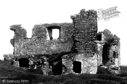
The inner keep is on the right, with holes knocked into its 9ft-thick walls.The smallest Norman keep in England, it last saw action at the end of the Civil War, when Colonel Assheton's forces barricaded
Places (6814)
Photos (11145)
Memories (29068)
Books (442)
Maps (181031)


