Places
36 places found.
Those places high-lighted have photos. All locations may have maps, books and memories.
- Cardiff, South Glamorgan
- Barry, South Glamorgan
- Penarth, South Glamorgan
- Rhoose, South Glamorgan
- St Athan, South Glamorgan
- Cowbridge, South Glamorgan
- South Molton, Devon
- Llantwit Major, South Glamorgan
- Chipping Sodbury, Avon
- South Chingford, Greater London
- South Shields, Tyne and Wear
- Ayr, Strathclyde
- St Donat's, South Glamorgan
- Llanblethian, South Glamorgan
- Thornbury, Avon
- Llandough, South Glamorgan
- Fonmon, South Glamorgan
- St Nicholas, South Glamorgan
- Jarrow, Tyne and Wear
- Penmark, South Glamorgan
- Font-y-gary, South Glamorgan
- Maybole, Strathclyde
- Yate, Avon
- Oxford, Oxfordshire
- Torquay, Devon
- Newquay, Cornwall
- Salisbury, Wiltshire
- Bournemouth, Dorset
- St Ives, Cornwall
- Falmouth, Cornwall
- Guildford, Surrey
- Bath, Avon
- Looe, Cornwall
- Reigate, Surrey
- Minehead, Somerset
- Bude, Cornwall
Photos
5,607 photos found. Showing results 1,541 to 1,560.
Maps
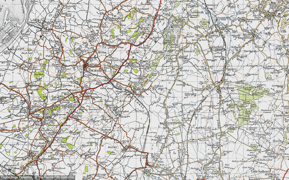
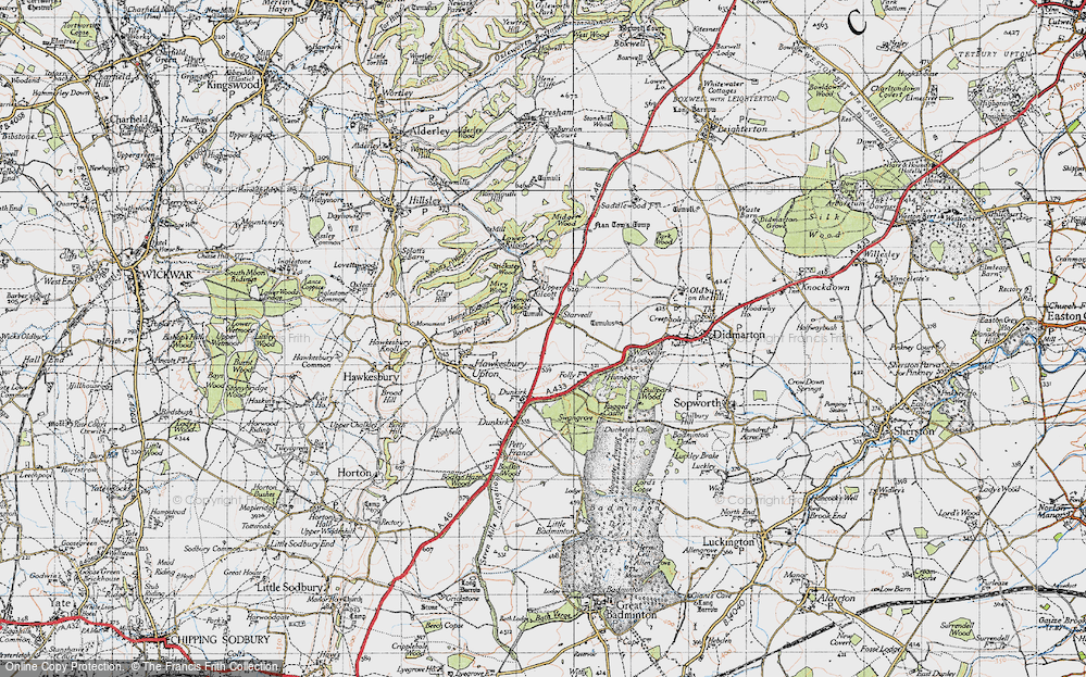
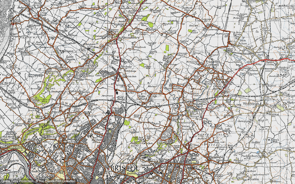
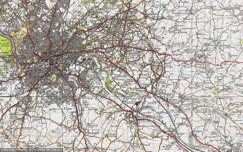
2,499 maps found.
Books
23 books found. Showing results 1,849 to 23.
Memories
1,580 memories found. Showing results 771 to 780.
Early Days
I was born at home in Coleford Bridge Road in 1935 and grew up there, went to school in Frimley and lived in Mytchett until emigrating to Australia in 1964. In those early days life seemed very simple, only a handful of cars, making ...Read more
A memory of Mytchett in 1940 by
Wonderfl Memories Of My Childhood
I was born in March 1947. I believe it was snowing heavily! My mother and father ran their butchers business in the village and my Uncle Don had a commercial painting and decorating business. My Aunty ...Read more
A memory of North Somercotes in 1955 by
Bungalow Farm Hull Road North Newbald
My husband, Bill Carr & I moved to Bungalow Farm with two of our sons, Michael & James, in August 1984 from Market place South Cave. Denis, our eldest son had bought a cottage in Broomfleet with ...Read more
A memory of North Newbald in 1984 by
Colerne From 1916
My grandparents lived in Colerne, my mother Minnie Louise Rowe was born there around the 1880s and my father William Simpkins lived in Colerne with the Aust family from when he was a baby. I was born in Bath in Kingsmead Road in ...Read more
A memory of Colerne in 1920 by
Peterlee The Place To Be.
My mother had a few problems back in 1979 in a small village called Glossop in Greater Manchester, so she placed an ad in our local paper asking for an exchange of houses. We never knew that we would get a response from ...Read more
A memory of Peterlee in 1979
Moving To The West Midlands
We moved from The Medway Towns in South-east of England in the early nineties to the West Midlands to go narrow boating on the canals. I worked for premier narrow boat builders Les Allen and Sons at Velencia Wharf ...Read more
A memory of Cradley Heath in 1992
Florries Stores
As a child my family moved from Leytonstone, London to Church Lane in South Benfleet. Memories are sketchey but I remember clearly living in what were called at the time a 'bungalow stores', it was a pre-war pebbledash ...Read more
A memory of South Benfleet in 1967 by
The Tin School Belmont
Does anyone reacll the 'Tin School'? It was a primary school situated in Belmont, I went there in the early 1960's as we lived in Belmont. I recall the school was made of possibly corrugated iron and was on a crossroads or ...Read more
A memory of Durham in 1960 by
Greywell Hill House
We returned to Greywell after a time away, my father worked again for Lord Dorchester however this time we lived in the house near the farm instead of the village. We were sure that it was haunted as we could hear noises in ...Read more
A memory of Greywell in 1958 by
Great Grandfather Jory
George Jory from Chacewater went to NZ in 1873, and married Jane Bowie of Edinburgh there, they had 4 children including my mother, so he is my great-grandfather. He was from a wrestling family, who were also brewers. My ...Read more
A memory of Chacewater in 1870 by
Captions
2,476 captions found. Showing results 1,849 to 1,872.
This village is less well known than the prodigious Grand Junction Canal tunnel that emerges just to the south.
Stone, slate and lime would be carried from the north, and Wigan coal from the south.
Basildon's first new factory, South East Essex Wholesale Dairies, opened in 1951. Over the next two years, the No 1 Industrial Estate sprang up around it.
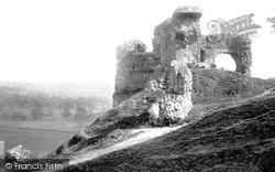
It still commands fine views to the north and south-east. The castle was described as 'ready to drop down with age' by the beginning of the 17th century.
The back of the Crown Inn can just be seen in the centre, where Station Road becomes Hinckley Road, curving south past the parish church, and on to Nailstone and Market Bosworth.
Previously called South Street, this was redeveloped in the late 18th century. The 'Brick' building sited opposite the Boot and Shoe was erected in 1770 out of bricks not needed for the Cloth Hall.
Moving south we cross the River Ivel by the Girtford Bridge to reach the town of Sandy on the Great North Road, the A1.
This view looks south-west. The cars occupy the site of the first Corn Exchange, which became the Floral Hall after its replacement opened in 1874.
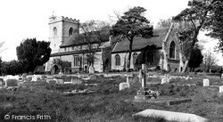
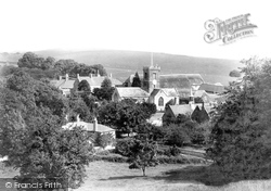
This view from the south-east corner of the churchyard is little changed, although the yew is bigger. The pine by the chancel survives, but there is now a vulgar yellow conifer disrupting the view.
Treorchy has suffered all the vicissitudes that every South Wales coal industry community has suffered in the 20th century, and now unemployment is a sad statistic.
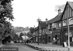
This 1930s mock-Tudor shopping parade still stands on Rectory Lane as it winds its way south to the junction with the Chipstead Valley Road, where the buildings of the Woodmansterne Treatment Works, belonging
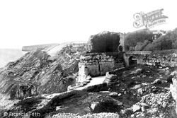
This is Portland's rugged eastern seaboard, south-westwards from Gilbert Castle and Castle Hayes (foreground) to medieval Rufus Castle and Gallops Weare (centre); God Nor is the headland above Freshwater
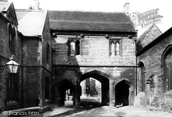
The left- hand or south pedestrian arch was inserted in 1865, and the building on the left was part of the police station, built in 1865 and demolished in 1964 for the present (very 1960s) Abbey
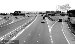
This view looks south-east from the same Little Linford Lane bridge.
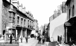
Swain Street runs south from the harbour; it is narrow and mixed architecturally, as can be seen in this Edwardian view.
Trees of The Grove extend south-westwards (left) and Old Warren Hill forms the horizon.
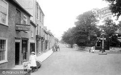
The south side of West Allington, looking westwards from the White Lion Hotel to the Old Inn. Both pubs had landladies.
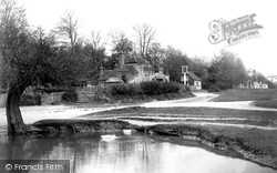
Away to the right are the south lodges to Moor Park, a pair of small lodges linked by a Tuscan Doric arch. From this viewpoint these are now hidden by young oaks.
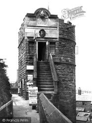
The north and east walls follow the line of those of the Roman fortress; those on the west and south were moved so that more land could be incorporated within the city's defences.
Situated three miles south of Rhyl, Rhuddlan was once a strategic location, as it was the lowest point at which the Clwyd could be crossed.
This scene is of Banstead Downs, which are actually outside Sutton's boundaries, south of Belmont station. The clubhouse of the Banstead Downs Golf Club is seen in the distance.
This is a quiet town on the south bank of the River Stour, at the point where it begins to widen into the estuary.
The tower and part of the south aisle are medieval. The rest, much larger in scale as befitted this now prosperous suburb, was started in 1896, and is a convincing essay in Perpendicular Gothic.
The sudden inward rush of water up the Severn is at its best when backed by a south-westerly wind; then the bore is like the one pictured here.
Places (15471)
Photos (5607)
Memories (1580)
Books (23)
Maps (2499)


