Places
6 places found.
Those places high-lighted have photos. All locations may have maps, books and memories.
Photos
10 photos found. Showing results 1 to 10.
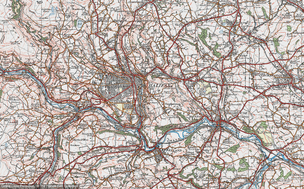
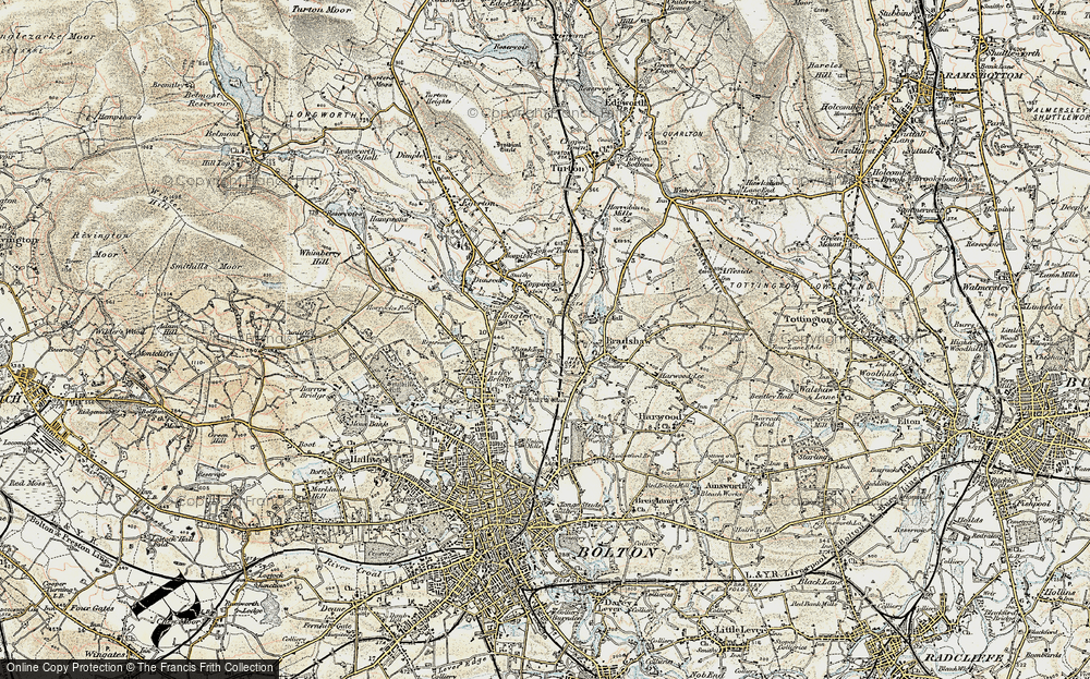
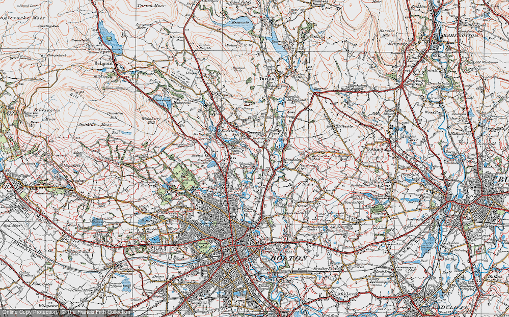
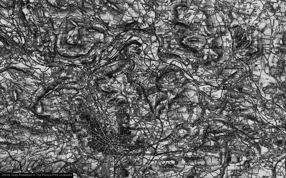
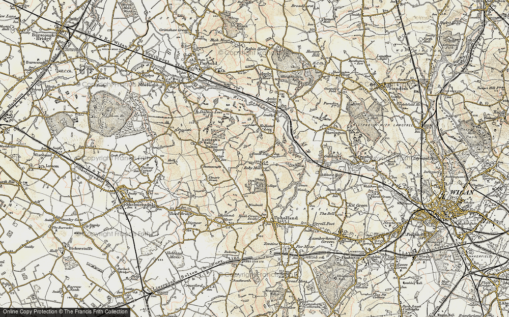
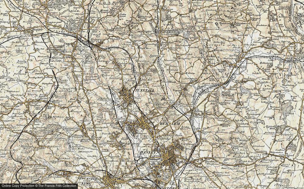
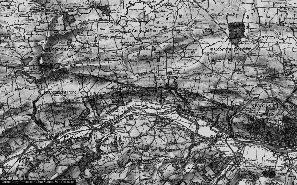
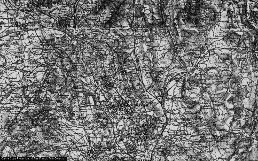
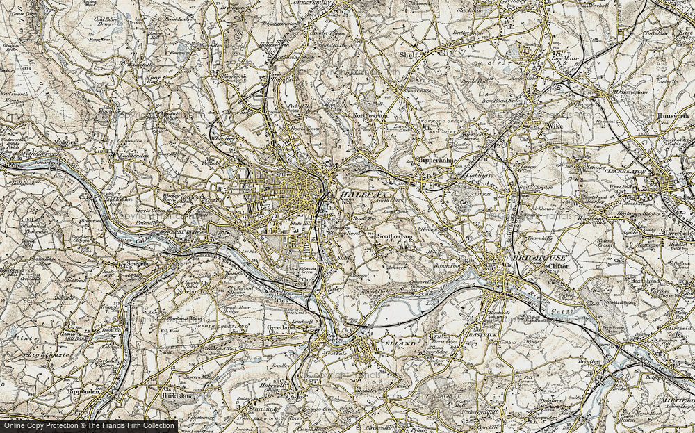
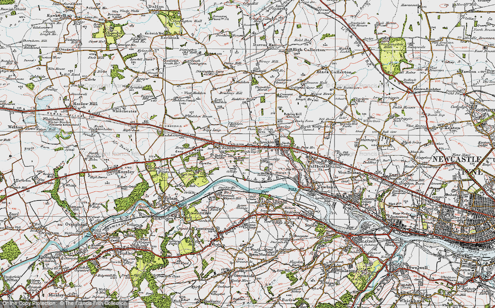
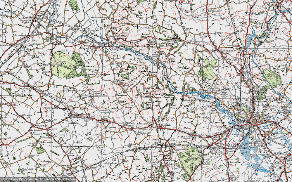
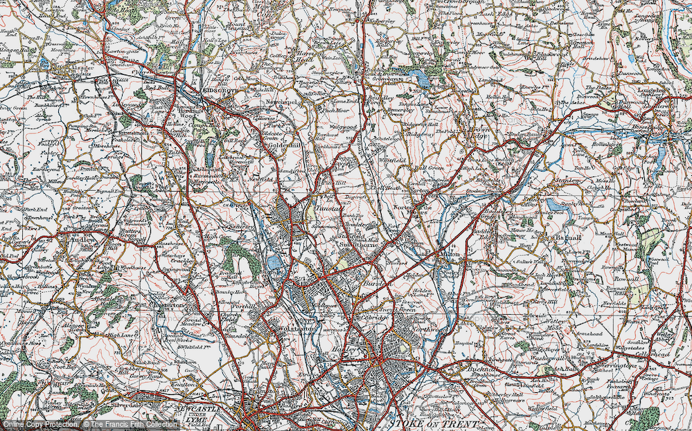
Maps
25 maps found.
Books
Sorry, no books were found that related to your search.
Memories
1,099 memories found. Showing results 1 to 10.
School Days
First school London Road Infants, a short time in Scotland and then the Church Infants, each school day walking from Theatre Street (two doors up from 'The Cherry Tree') through the market place and down Church Street. I moved on to ...Read more
A memory of Dereham in 1940 by
Little Hills Pit Lane
Born 1937 Kiveton family. Remeber getting on the bikes with my friends, riding over what we called the little hills down the pit lane to the tunnel top. Carrying an old clothes horse and a blanket, that was our tent. ...Read more
A memory of Kiveton Park in 1940 by
Croxley Station 1940 1945
Hi, my name is Brian Nicoll. My mother, father and I lived in 10 Frankland Rd from 25/9/35 when I was born until 1956 when I got married. As a small boy I used to have a friend called Roger Gosney who lived over the ...Read more
A memory of Croxley Green in 1940 by
Hillingdon In The 1940s And 1950s
My family lived in Hillingdon from the beginning of ww2 until 1953 when we moved from Biggin Hill. Our first home was a top floor flat in Pinewood Ave which was not ideal for a family with 4 children and then ...Read more
A memory of Hillingdon by
Parkstone Girls' Grammar School
This was the entrance to Parkstone Girls' Grammar school where I went from 1956, with Miss Allen as headmistress, until we moved to the present site in Sopers Lane in, I think, 1960 or 61, when these buildings were ...Read more
A memory of Poole in 1956 by
My Childhood In Houghton Regis.
My name is Daniel (Danny) Cronin, the youngest of 5 and the only boy of Harry 'H' and Ann Cronin. My life began on the 27th of November 1970. My first place of residence was Recreation Road where I have ...Read more
A memory of Houghton Regis in 1970 by
Happy Childhood
I lived with my grandma Elizabeth (Lizzie) Bignell at No 10 Ten Cottages from 1943 to around 1948. The houses were Estate owned (and still are) and my grandad Robert Bignell worked at the manor house first as a shepherd and ...Read more
A memory of Wormleighton in 1946 by
Childhood In The Village!!
I was devastated in 1964 when my mother told me we were to leave the village so that my mother could pursue her dream of owning her own small business elsewhere. It was a dreadful culture shock, one that has remained ...Read more
A memory of Mollington in 1961 by
The Steel Houses
Having lived in Brymbo in a very damp two up two down house in 'The Green' my parents were 'over the moon' to be given a new three bedroomed house; 23, Bryn Hedd, Southsea, (which means peaceful hill) became their home for ...Read more
A memory of Southsea in 1950 by
A Ham Family
My mother and father lived in Evelyn Road - the cul-de-sac opposite the large white house in the distance - mother still there - lived in two of the houses for all her eighty years - married the boy next door (well.. at the top of the cul- ...Read more
A memory of Ham in 1955 by
Captions
100 captions found. Showing results 1 to 24.
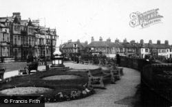
This photograph shows Victoria Road and the approach to Bank Top railway station.
The area at the top of Staithes is known as Bank Top and here, in 1929, we see two recently- completed bay-fronted detached bungalows (right of view) which have been carefully positioned to take full
This row of quite modern-looking cottages at Bank Top, lying behind a neatly cultivated garden plot was, in fact, built in 1833.
At the other end of Grove Street, Bank Square took its name from the Union Bank of Manchester, with its fine clock and cupola.
Martin`s Bank (centre left), on the left of Yorkshire Street, has lost its turret and other roof top features during modernisation and the Midland Bank has been cleaned.
The George Hotel, top left, spans the entrance to the Market Arcade in Devonshire Street. It led into a covered market built between 1860 and 1866, a venue much used for meetings and entertainment.
On the left is the covered entrance to the Playhouse.
Whitchurch lies opposite Pangbourne, which is situated on the Berkshire bank. This turn-of-the-century photograph captures the atmosphere and feel of the village at that time.
This shows the bank designed by Archibald Simpson (1839), topped with a statue of Demeter, and a large block of houses by John Smith (c1810), showing Smith's characteristic recessed, curved corner.
This postcard shows the parish church of St Martin in the centre, and clockwise from the top left, the village centre; the `Roman` Baths in the Nook; Lover`s Leap; and the view down from the Bank.
There had been a house (probably half-timbered) at Bank Hall in the Middle Ages, but in about 1780 it was decided to improve the building, and the structure seen in the picture was the result.
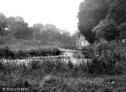
The wooded slopes in the background are on the Staffordshire bank of the Dove, and rise to Air Cottage on the top of the hill opposite.
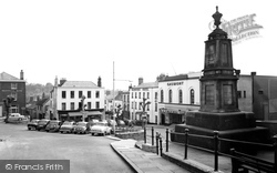
The imposing entrance on the right led to the Midland Bank, though why they should have removed its carved top and replaced it with a very ordinary clock is beyond me!
The imposing entrance on the right led to the Midland Bank, though why they should have removed its carved top and replaced it with a very ordinary clock is beyond me!
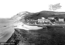
The River Winniford (right), trickling down the valley from Chideock village, seeps into Lyme Bay through a bank of pebbles below the Anchor Inn (centre).
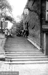
This flight of 122 steps leads up to the parish church dedicated to St Chad.
This view of the square shows how it had been broken up, so to speak, and had lost the impression of openness.
The plateau-top village of Youlgreave stands between the valleys of the Bradford and the Lathkill; it is a prosperous settlement based on lead mining and farming.
Situated at the top of Lythe Bank, about four miles from Whitby, this charming 17th-century coaching inn still serves beer and refreshments to the public.
Right of the Westminster Bank stands Manor Court, which was built as a merchant's house in 1550; in the upper rooms, some ceilings still retain their fine plasterwork decoration.
In 1908, the view of the town looking back under the bridge was unobstructed.
This view from the west shows John Smedley's massive Hydro on the opposite side of the valley, which brought spa town prosperity to the town after its erection in 1853.
On the Buckinghamshire bank (since 1974 in Berkshire) Henry VI's great foundation, Eton College, has rendered this another 'company town'.
The ferryman's cottage remains, but is now inaccessible and very private, with the river path blocked by a gate to its east.
Places (6)
Photos (10)
Memories (1099)
Books (0)
Maps (25)


