Places
17 places found.
Those places high-lighted have photos. All locations may have maps, books and memories.
- Bridge End, Oxfordshire
- Bridge End, Lincolnshire
- Bridge End, Essex
- Bridge End, Bedfordshire
- Bridge End, Clwyd
- Bridge End, Warwickshire
- Bridge End, Surrey
- Bridge End, Durham (near Frosterley)
- Bridge End, Northumberland (near Hexham)
- Bridge End, Hereford & Worcester (near Tirley)
- Bridge End, Hereford & Worcester (near Bosbury)
- Bridge End, Shetland Islands
- Bridge End, Cumbria (near Carlisle)
- Bridge End, Northumberland (near Hexham)
- Bridge End, Devon (near Kingsbridge)
- Bridge End, Devon (near Sidmouth)
- West End, Yorkshire (near Pateley Bridge)
Photos
38 photos found. Showing results 641 to 38.
Maps
520 maps found.
Books
Sorry, no books were found that related to your search.
Memories
1,928 memories found. Showing results 321 to 330.
Fish Meadow Fun
The Fish Meadow is just North and East of the river bridge, and in my youth, (as now) was prone to flooding. I remember a year when the still water, stretching across the meadow (as opposed to the main river flow) froze over. ...Read more
A memory of Upton upon Severn
Early Thought Of Byfleet From The I.O.M.
I was born at 11, Church Road, Byfleet - the gardener's cottage, tied to 'Wey Barton', Mill Lane. That was then the residence of the Coles family, to whom my grandparents, Bert & Nellie Bird, were in service. ...Read more
A memory of Byfleet by
Bennett&Sayers Nuns Street Derby
I served my apprenticeship at Bennett&Sayers from 1964 to 1972, the scrap yard opposite was always called Frank Radfords, further up Nuns street [over the bridge] this was the original Samways for the highways,[now ...Read more
A memory of Derby by
Learned To Swim
Just below the bridge on the ovingham side most of the lads learned to swim and through stones at what we thought was rats now I know they were water voles a much endangered species .Waste from Corbridge and other places flowed ...Read more
A memory of Prudhoe by
Maidenhead, Berkshire.
I am wondering if anyone remembers my grandfather Dr. Kenneth (Ken) Simon. He had a practice in Maidenhead in a house called Marlborough along the river next to the sounding bridge but the entrance to his surgery was at the ...Read more
A memory of Maidenhead by
Adele Avenue/Harmer Green Lane
This photograph actually shows Adele Avenue off to the left and the road going down the Beehive is Harmer Green Lane. Just before the Beehive there is a road off to the right which goes under the railway bridge and ...Read more
A memory of Digswell by
Bells Close 1948 59 Denise Drysdale
I lived at 23 Swinburn terrace bells close and went to Sugley Parish church. Lemington infants then the big school. I left there when I was 15 and did not make it to Claremont. I was born at Dilston Hall hospital ...Read more
A memory of Lemington by
Epsom Army Cadets
We were part of the 3rd Cadet Batallion of the East Surrey Regiment. Our base was the wooden huts erected behind Snows cycle shop in East Street after a German bomb obliterated the infants school that was there. The Officer in charge ...Read more
A memory of Epsom by
Life As A Youngster In 1960x Old Basing
I went to Old Basing school slightly later, in 1962,and I remember school dinners as being dreadful, the dinner ladies were so strict that you did not dare not to eat your meal, they even reported to my ...Read more
A memory of Old Basing by
Captions
1,755 captions found. Showing results 769 to 792.
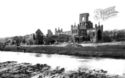
After the Dissolution, the abbey was left a ruin and many of its stones were eventually carted off and used to widen the old Leeds Bridge.
Looking back across the bridge towards Salutation Square. The Cavendish County Theatre to the right has since been demolished and this area is now the site of the new County Offices.
Looking across the River Corrib at Salmon Weir bridge, built in 1818 to link the new courthouse (1815) and the old jail, whose site is now occupied by the new cathedral.
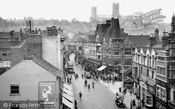
This is all pedestrianised now, and no double decker bus is to be seen in this part of the High Street. The High Street is in fact the Roman Ermine Street, and it goes all the way through the city.
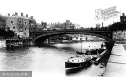
Built of cast-iron, the bridge was opened in 1863 and improved the city by giving direct access to the original railway station, which was situated within the city walls.
Seen from the bridge, most of these buildings survive as cafes, gift shops, and the like. The prominent semi-circular gable on the right in the distance is the famous Roy's Stores.
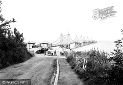
The chain suspension bridge at the appropriately named Seaview leads out to the steamer landing stage. From here boats would arrive and depart on a daily basis to the mainland at Southsea.
The old road to Camelford and beyond, later becoming the A39, climbs steeply up Gonvena Hill from the bridge.
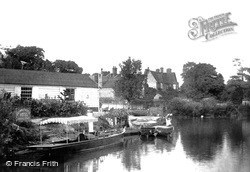
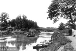
A steam launch - the 'Thistle' - is moored outside the Crown and Thistle pub's landing stage just above Abingdon town bridge. This pub, a 19th-century coaching inn, is still open for business.
An obelisk 265 yards below the lock marks the boundary of the jurisdiction of the Port of London Authority and the Environment Agency.
The Molesworth Arms Hotel, well placed on the principal street climbing through the town from the bridge, was said to be 'conveniently arranged and well conducted', and offered an 'omnibus to meet all
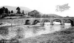
There seems to be ample room beneath the wide arches of Llanfoist Bridge, but when the Usk floods the waters have often risen to the top of them and flooded the Castle Meadows in the foreground.
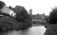
This view of the Kennet and Avon Canal, taken from the Town Bridge, shows the site of Hungerford Wharf.
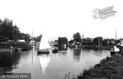
Wroxham is at the western gateway to the Broads, and profited greatly from the late 19th-century boom in 'messing about in boats'.
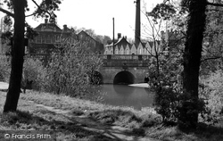
Rising above the stone arches of the bridge are the tall chimney and factory units belonging to the Anglo Swiss Condensed Milk factory, which opened in 1873. In 1905 it merged with Nestles.
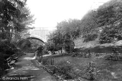
The deep medieval moat with its 1825 bridge was turned into delightful gardens with terraces and benches. They remain virtually unchanged, but away to the left is now the Castle Mall shopping centre.
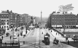
A view of O'Connell Street (then Sackville Street), looking north with the bridge over the Liffey in the foreground. The O'Connell and Nelson monuments are prominent.
Our man from Frith manages to capture a picture of the small river steamer that operated between Worcester and Holt Fleet during the summer months.
Seen from the bridge, most of these buildings survive as cafes, gift shops, and the like. The prominent semi-circular gable on the right in the distance is the famous Roy's Stores.
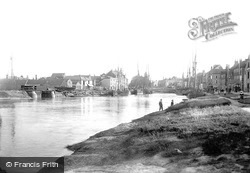
This view shows the shipping staithes at Bridgwater, this time downstream from the Town Bridge. Inevitably, the town is much changed now, with made-up roads, much more building - and no ships.
Wroxham is at the western gateway to the Broads, and profited greatly from the late 19th-century boom in 'messing about in boats'.
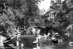
The tree-shaded riverside path has long been a popular shortcut linking the Thames riverbank with the High Street and Magdalen Bridge.
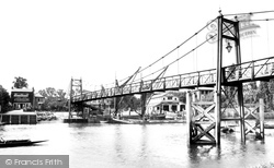
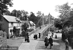
An excellent view of the rebuilt suspension bridge, which is for pedestrians only. On the far bank is one of the stages for excursion steamers, and a station for the hire of rowing boats.
After the Dissolution, the abbey was left a ruin and many of its stones were eventually carted off and used to widen the old Leeds Bridge.
Places (17)
Photos (38)
Memories (1928)
Books (0)
Maps (520)

