Places
Sorry, no places were found that related to your search.
Photos
Sorry, no photos were found that related to your search.
Maps
39 maps found.
Books
Sorry, no books were found that related to your search.
Memories
779 memories found. Showing results 101 to 110.
Burn's Shop/Bakery
My parents, Zack and May Burn had a bakery and grocery shop on Station Street during the 1950's. It was the whitewashed building at the far end of the photograph. In the 1960's they bought "Eignbrook", further along Station ...Read more
A memory of Misterton by
Burning Bush
Dad always called this the burning bush, I assume it was the first public lighting they'd seen.
A memory of Eton by
Burning Feet
When I was about 12 years old, with feet as thick as young, strong leather, my father, who was a pilot (Allan Dyson) and Nina (my mum, Nina actually) took us all from our home on a plot of land in Halfway House in the Transvaal (some ...Read more
A memory of Glasbury in 1970 by
Burnopfield
My visit to Burnopfield to meet grandma Ann Burns and John Patrick Burns, my mam Ann Therese Burns was born in Barrington Villa in Burnopfield, my mam and 9 sisters and brothers grew up in this house. If anyone knows something abouth ...Read more
A memory of Medomsley in 1949
Burns Drive Memories
My grandparants lived at 5 Burns Drive in the 1970's. I remember my grandad taking me round the Silver Band Club, and through the woods to Studfall shops and sometimes to the swimming baths. My grandad was the club M.C at ...Read more
A memory of Kettering in 1975 by
Burns Pit Disaster
From his seat, by the fire, my grandad could see the great mound of the spoil heap of Stanley Burns Pit. It was the site of a horrific explosion, on 16th February 1909, in which 168 men and boys lost their lives. He would ...Read more
A memory of Stanley in 1900 by
Burns Drive
My grandparents lived at 5 Burns drive in the early 70s.I remember walking with my grandad to studfall shops and down to corby swimming baths.My grandad was also m.c at the silver band club in the 60s.They moved to browning walk late 70s ...Read more
A memory of Corby by
Burnt House Cottage
This was of course taken long before Burnt House Cottage was built. This was where my grandmother Ruth Hare lived. The cottage is now to the right of the road. In the background are accommodation blocks at Carver Barracks ...Read more
A memory of Wimbish in 1980 by
Burnt Oak
I was born in Barnfield Road 1945. Irene Postance and my brother Peter who was 3 years older. We went to Annunciation school, St Thomas's and St James. I was so scared of the Walsh sisters who taught at St James. Especially Vera! I do not ...Read more
A memory of Burnt Oak
Burnt Oak 1955 To 1973
Wow! I lived in Burnt Oak from 1955 to 1973 at 240 Deansbrook Road. I went to all three Woodcroft Schools in Goldbeaters Grove. I had/still have friends in Oldberry Road (the Walshes). I remember the Meads School burning down ...Read more
A memory of Burnt Oak by
Captions
291 captions found. Showing results 241 to 264.
Situated under the downs, very close to the Long Man, the former manorial grange at Wilmington had, by the 13th century, developed into a small priory.
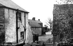
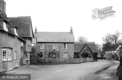
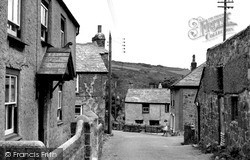
Most of the cottages were built in stone from the Greenmoor Quarry. The left foreground cottage has gone, but the small house (right) remains, which is connected to a converted barn and stable.
A leisurely country scene; note the lawn set out for games, and the swinging seat under its canopy.
These model estate cottages were built by the Berners family for their agricultural labourers and artisans.
These model estate cottages were built by the Berners family for their agricultural labourers and artisans.
The bottom green, seen here, was at one time a pond where ducks and geese would wander freely. It was said to have been drained in 1841 by a Mr George Brown.
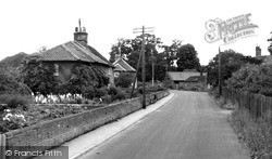
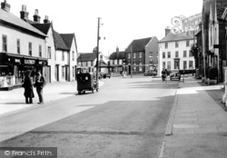
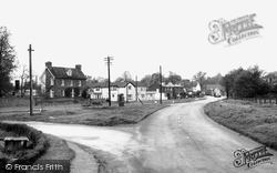
This view looks east along the main street.
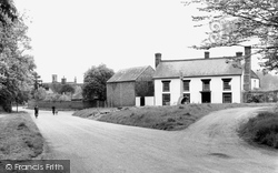
The two villages of Offord Darcy and Offord Cluny run into each other. Facing a bend in the road is the Horseshoe Inn; the date 1626 is carved on the jettied cross wing of the inn.
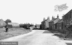
Dunmow`s post office has been in the red brick building (centre) since 1939. A barn, used for meetings by local dissenters, once stood on the site.
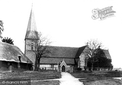
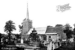
This fine Early English church, set back from the village and behind a narrow green, boasts a raised 13th-century chancel and a tapering, shingled broach spire.
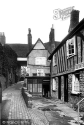
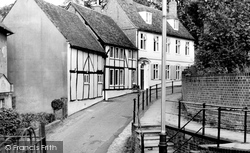
This view looks up Olde Barn Passage past Brookes Court. In the distance is Richman's and St Mary's Street.
It is rare in Suffolk to find a spire before the Victorian period. This one is 17th-century. The window of the Cockfield chapel is blocked by later monuments.
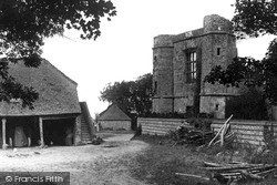
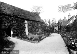
A Benedictine priory belonging to Westminster Abbey was established here to the north of Sudbury c1130. This is the 15th-century chapel with nave and chancel in one.
Apparently the horse remained a feature for some years, until building on this land swept it away. The Old Barn is opposite the row of terraced cottages. To the left is Kilburn Yard.
Until the early years of the 20th century, a thriving brewery, which was run by the Brown family, stood on the green.
Polgooth grew up in the 19th century as a mining village to the south west of St Austell.
Flendyshe House, facing the small green, is an early 17th-century house remodelled in 1807. On the green is the war memorial.
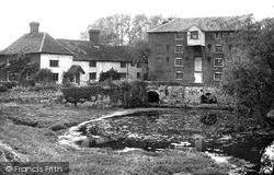
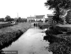
The mill complex was owned by Reuben Rackham, who was a maltster, water and steam miller and a coal merchant.
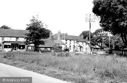
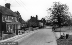
Denmead's local shop advertises Saxa salt in the window. The original village, to the north-east, was known as Barn Green.
Initially a hamlet, the village of Barns Green dates from the Middle Ages, but grew rapidly during the 18th and 19th centuries following the opening of the Mid-Sussex railway line.
Parsons Fee leads south-west from Market Square past Prebendal House, the home of John Wilkes, the radical MP for Aylesbury from 1757 to 1764, and behind high brick walls.
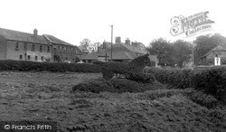
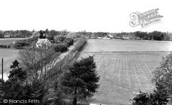
This photograph was taken from the church tower looking north towards the main street. The post mill, which stood to the north of the cottage, was built in 1829 and demolished in 1912.
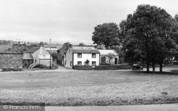
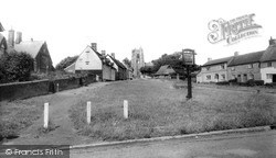
This tapering green with the church at the top is very similar to the green at Long Melford, although it is smaller.
This hamlet is to the south of Boxford and separated from it since 1975 by the bypass.
Places (0)
Photos (0)
Memories (779)
Books (0)
Maps (39)

