Merry Christmas & Happy New Year!
Christmas Deliveries: If you placed an order on or before midday on Friday 19th December for Christmas delivery it was despatched before the Royal Mail or Parcel Force deadline and therefore should be received in time for Christmas. Orders placed after midday on Friday 19th December will be delivered in the New Year.
Please Note: Our offices and factory are now closed until Monday 5th January when we will be pleased to deal with any queries that have arisen during the holiday period.
During the holiday our Gift Cards may still be ordered for any last minute orders and will be sent automatically by email direct to your recipient - see here: Gift Cards
Places
Sorry, no places were found that related to your search.
Photos
Sorry, no photos were found that related to your search.
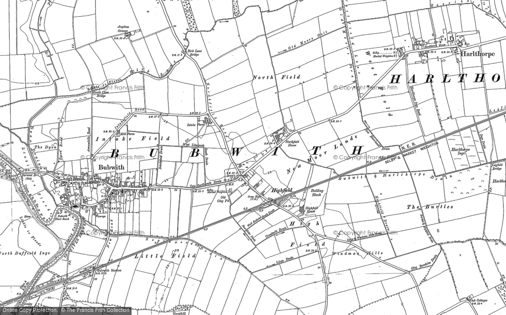
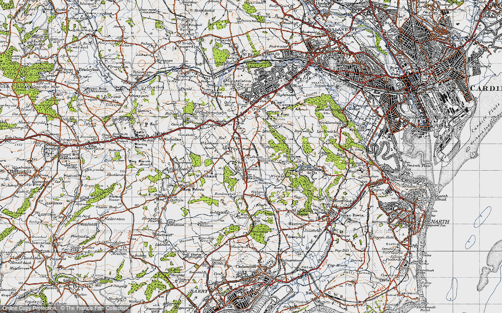
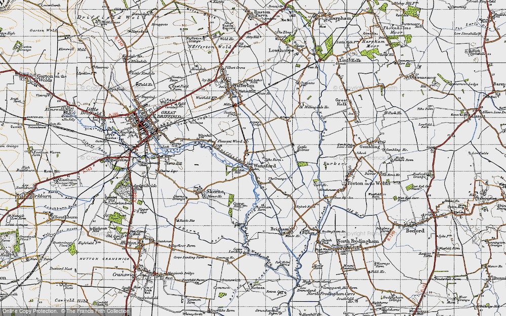
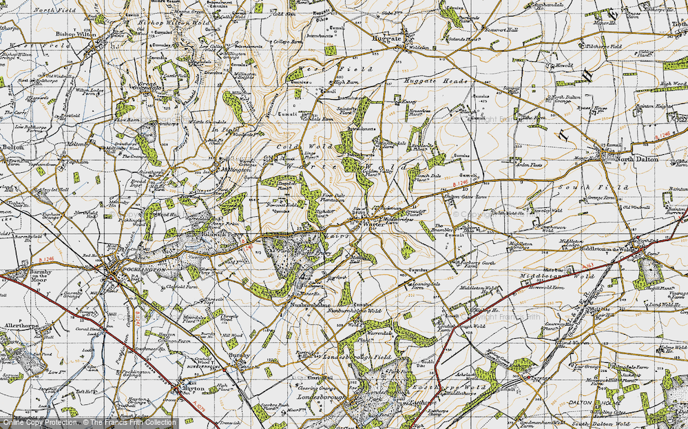
Maps
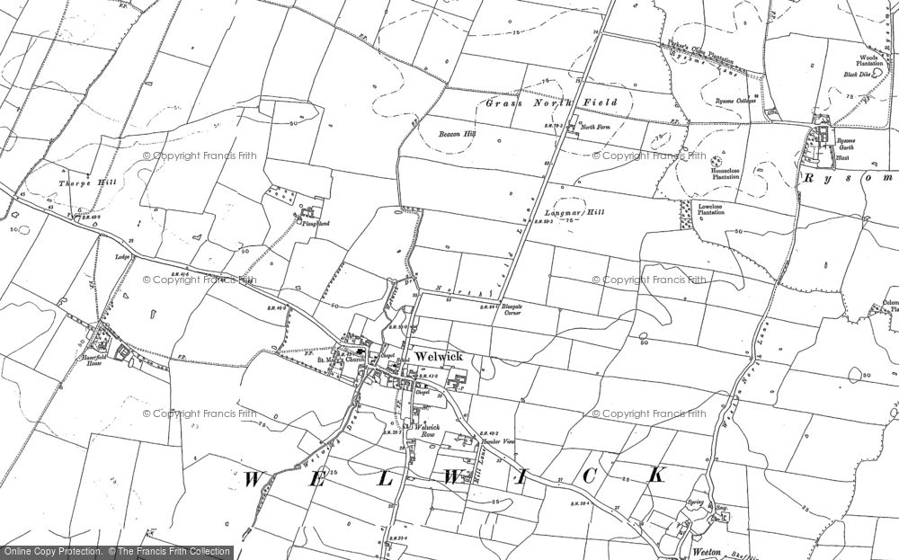
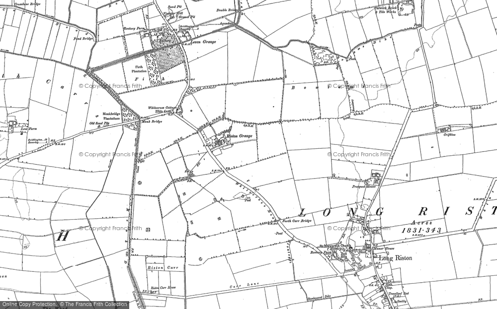
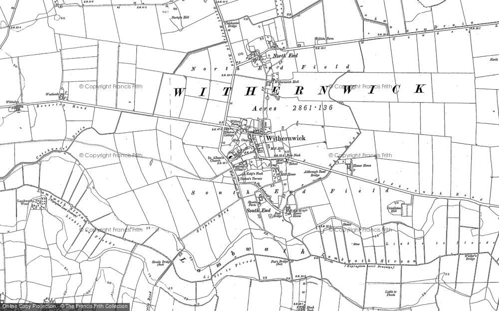
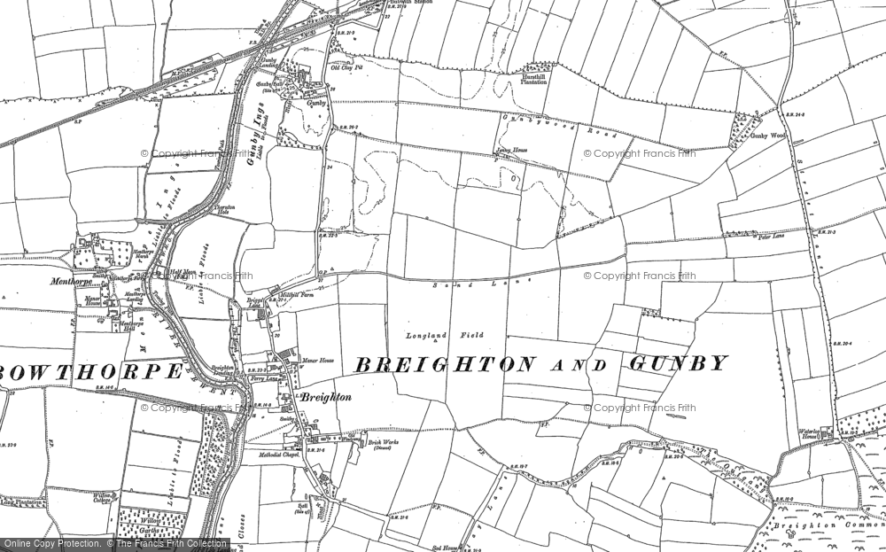
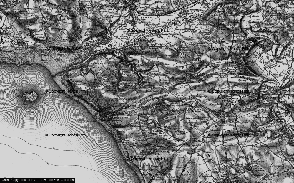
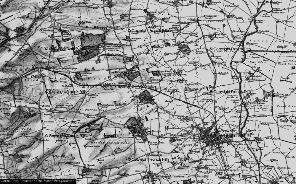
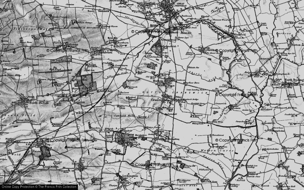
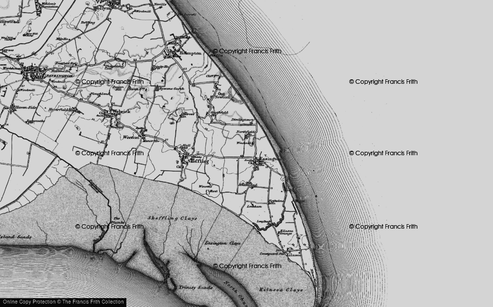
7,034 maps found.
Books
163 books found. Showing results 5,881 to 5,904.
Memories
22,913 memories found. Showing results 2,451 to 2,460.
Rowley Bristow Orthopaedic Hospital 1970
I became a Student Nurse, training for the Orthopaedic Nursing Certificate at The Rowley Bristow Orthopaedic Hospital, on the day before my 17th birthday in January 1970. The hospital was divided into two ...Read more
A memory of Pyrford by
I Lived There
I was born in Diss but now live in Kilmarnock, if my memory serves me well, down Mount Street, where my granny on my mother's side lived. We, me and my brother, used to visit our cousins who lived beside gran and play in The Rectory ...Read more
A memory of Diss in 1966 by
Tintwistle Days!
My recollections are from the mid 1950s to early 1960s. These were happy days wandering the Longdendale Valley and the Torside Reservoir, usually with guitar slung over my shoulder in the company of Olwen Brown, a local 'Tinsel' ...Read more
A memory of Tintwistle in 1956 by
Coldwaltham Cottage
I used to live at the neighbouring house, The White House, owned by a Miss Charman. She also owned the above cottage and rented it to the Charly Williams family. He was the local green grocer. There was Joe, Mrs. Harris and ...Read more
A memory of Coldwaltham in 1953 by
Racing At Stapleford Tawney
I was born in Chingford prior to the Second World War. In the early 1950s I became an avid cyclist and participated in several massed start cycle races on Stapleford Tawney aerodrome. If I remember right there ...Read more
A memory of Stapleford Tawney in 1953 by
Memories Of Shakespeare Street In Sinfin 1958 1964
We moved from Derby to the new estate in 1958. My son Paul went to the local school for a short time before we moved south to Hertfordshire - my home county. Amongst his many friends I remember ...Read more
A memory of Sinfin by
Childhood Memories
I was born at Hill View Lamberts Castle in the 1940s. Mum use to run a small tea rooms and I remember a hiking organisation called the Holiday Fellowship calling their once a week. No mains water, electricity or gas ...Read more
A memory of Lambert's Castle in 1940 by
Mining Community Gone Without A Trace
When they found coal, Treodrhiwfuwch was only a farm. A book was published by J R Pearce back in 1985 about Pontlottyn and Treodrhiwfuwch. Over the years terrace houses were built for miners, some ...Read more
A memory of Troedrhiwfuwch in 1920 by
Ellacombe Road Williams Close
The earliest memories of the shops on Ellacombe Road was a Co-op at the top of the rank of shops a kiosk then Ron the off licence, wool shop, butchers and greengrocers at the bottom, these all closed when Asda ...Read more
A memory of Longwell Green in 1980 by
Cowie Village Bannockburn Stirling
My father John McAteer, a coal miner, was one of a large McAteer family who lived at 22 Murdock Place in Cowie, this address no longer exists. An uncle Tommy, after WW2, had an small holding at Sauchinford and ...Read more
A memory of Fishcross in 1930 by
Your search returned a large number of results. Please try to refine your search further.
Captions
9,654 captions found. Showing results 5,881 to 5,904.
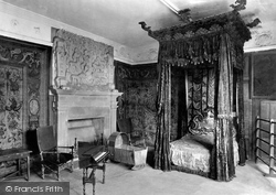
The great state bed of Haddon was removed during the 9th Duke's restoration, and is now kept in the picture gallery at Belvoir Castle.
Like the pub and school, rural post offices are under constant threat of closure, and in recent times they have been closing at the rate of 400 a year.
The cliffs below the road in the foreground were the scene in 1952 of two notorious murders.
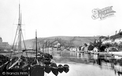
During the 19th century, Looe was an important copper port; the proceeds from this trade paid for the fine Guildhall just visible on the left. Today, Looe is a fishing and tourist town.
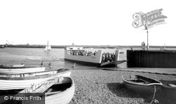
This assault craft-type ferry belonged to the Atomic Weapons Research Establishment at Orford Ness, 1959-71.
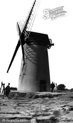
Situated a few hundred yards to the south of the observatory, Bidston Mill was built at the beginning of the 19th century and was in full operation until 1875.
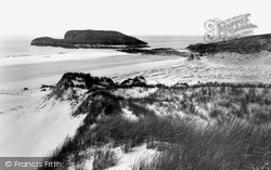
It is thought that one or two stock-rearing families lived here, with banks and ditches across the neck of the promontory.
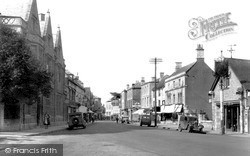
The Kings Arms Hotel (right), built in 1750, was a stop for the changing of horses and the collection of post on the London to Bristol route.
Named for the mulberry tree that grew in the garden, this 18th-century Kentish hall house in the High Street was once at the centre of Snodland, where the market cross stood outside The Red Lion inn opposite
The Fishpond is a famous petrifying well, where the high levels of lime in the water will turn to stone anything placed in it.
The busy industrial village of Millom on the Duddon Estuary was founded on the wealth won from the iron ore discovered at nearby Hodbarrow in 1868.
This village in the valley of the River Stour has, in fact, two greens: a large open space before the church, and behind it, a small triangular green forming the heart of this rural community round which
The photographer who took this picture was positioned at the entrance to Cirencester railway station.
What an idyllic scene this is, and Stoneleigh remains a good-looking village, despite modernisation, traffic and a rather perilous proximity to Coventry.
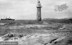
This photograph shows the lighthouse at high tide with the reef virtually submerged. The light was powered by sperm whale oil.
The Red Lion Inn and the small medieval chapel next to it have served travellers passing along the Icknield Way at the river crossing for more than 500 years.
This is the countryside at its best! Barford St John is a typical example of the remoteness of some of the villages in north-west Oxfordshire.
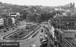
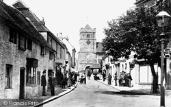
The church tower is that of St John the Baptist, which stands over one of the medieval gateways into the city.
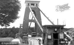
A competition to design its bridge was won by I K Brunel; work began in 1831, but the funds ran out, and it was not completed until 1864, after Brunel's death.
The King William IV public house, dating from 1862, is the first in a row of noteworthy buildings in Vantorts Road.
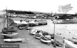
The white painted steps, centre left, are the Mayflower Steps, scene of the Pilgrim Fathers' departure for the New World in 1620.
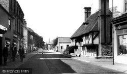
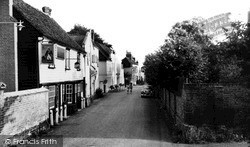
Fortunately, those to the right, including The Old Plough, survive.
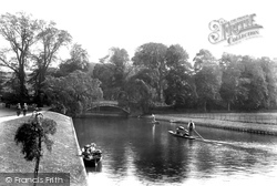
The Backs, which are the lawns, meadows and gardens behind the colleges which back on to the River Cam, are a favourite place for recreation.
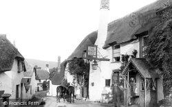
Standing at the bottom of the notoriously steep climb of Porlock Hill, the Ship Inn appears little changed today, despite the removal of its attractive wooden porches.
Places (0)
Photos (0)
Memories (22913)
Books (163)
Maps (7034)


