Merry Christmas & Happy New Year!
Christmas Deliveries: If you placed an order on or before midday on Friday 19th December for Christmas delivery it was despatched before the Royal Mail or Parcel Force deadline and therefore should be received in time for Christmas. Orders placed after midday on Friday 19th December will be delivered in the New Year.
Please Note: Our offices and factory are now closed until Monday 5th January when we will be pleased to deal with any queries that have arisen during the holiday period.
During the holiday our Gift Cards may still be ordered for any last minute orders and will be sent automatically by email direct to your recipient - see here: Gift Cards
Places
Sorry, no places were found that related to your search.
Photos
Sorry, no photos were found that related to your search.
Maps
7,034 maps found.
Books
163 books found. Showing results 7,177 to 7,200.
Memories
22,913 memories found. Showing results 2,991 to 3,000.
Rose Lawn Burghfield Rectory
Met my future wife, Janet, whose parents lived on the caravan site behind Rose Lawn ran by Rev Nicholson. I was a biker, Janet's parents disapproved of motorbikes, so whilst courting I used to bring her home at ...Read more
A memory of Burghfield in 1963 by
Grandparents In Service
My paternal grandparents used to work in service at Wonham while my father was a young boy in the years before WW2. I believe my grandmother was a cook and my grandfather was a driver/handyman. I think my father ...Read more
A memory of South Godstone by
Stokesleys 2nd. Fire Station
For the information of readers, it may be of interest to note that the building just past the Town Hall Block, left side, was known as the Shambles and in the 1800s and early 1900s was open fronted and used as a ...Read more
A memory of Stokesley in 1920 by
Working Life
My father was a local Ealing man, who attended Little Ealing Boys school and Chiswick Poly. He was the owner of Gordon Garage, Gordon Road, W.13 from around 1950-1969. I worked for him at the garage, from 1962-1966, so does anyone ...Read more
A memory of Ealing in 1962 by
Winchmore Seconday Modern School
I would like to get in touch with former pupils at this school. My name at that time was, Cynthia Bradshaw. I lived at Hadley Way, not far from Grange Park, Green Dragon Lane, also near Grovelands Park. I ...Read more
A memory of Winchmore Hill in 1947 by
Oadby Cinema
I can remember going to the Oadby cinema. I believe it was owned, or at least run by the father of a schoolfriend. It was commonly known as the 'Oadby flea pit', not that any of us actually saw or were bitten by fleas
A memory of Oadby in 1971
Army Junior Soldiers
I was at Park Hall camp. Our Sergeant was called Mathews and the Corporal called Ennis. Sgt Mathews was an unfit [fat] bully but Cpl Ennis was great. As a young 16 years old lad it was a bit of a shock to the system but ...Read more
A memory of Oswestry in 1971 by
Highgate
I used to stay in Beverley with my Aunt who lived at 45 Highgate. She used to knit toys and sell them at her front door, the money she raised went to Beverley Minster to buy cassocks for the choir. Her name was Gertie Forest, she lived ...Read more
A memory of Beverley by
I Lived And Worked Nearby
We lived as a family in Gonville Road with St Judes Church on the corner of Thornton Road, to the left of this picture. I remember the Pond when it was full of rubbish so this garden was an improvement when it was ...Read more
A memory of Thornton Heath by
Beautiful Memories
Hello. I was born at Crumpsall Hospital 1945 and lived at 59 Dalton St, for seven years. Mother is named Eileen and dad was Fred. I had an older sister Barbara. My Aunty Peggy and Uncle John lived a few doors down - they ...Read more
A memory of Collyhurst in 1945 by
Your search returned a large number of results. Please try to refine your search further.
Captions
9,654 captions found. Showing results 7,177 to 7,200.
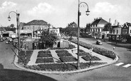
The charming central Green is overlooked by houses and shops, most of which were built in the late 18th and 19th centuries when local merchants invested wealth made in the maritime
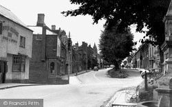
We are looking south- eastwards from West Hill across to the Victorian villas on the sylvan summit of East Hill, glimpsing the tower of the parish church (left).
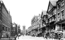
Bridge Street is one of the main streets of the city of Chester, and still follows the original street plan laid down by the Romans.
The market town of Stourport lies in the borough of Bewdley at the junction of the Staffordshire and Worcester Canal, the River Stour and the River Severn, which led to flourishing trade with other parts
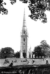
Bodelwyddan is rightly famous for 'the marble church' that stands proudly in the surrounding countryside near Rhuddlan, its spire reaching up 202 feet.
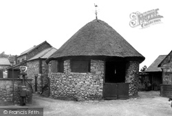
Cockfighting was a very popular pastime in rural Wales until its prohibition in 1849.
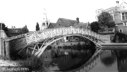
The town`s impressive Chinese Bridge was built in 1827 - the name reflects the design of the bridge. It links Post Street to the riverside walk on the west side of the Ouse.
This old manorial village 5 miles north of Sheffield was part of the industrial revolution: it established small craft workshops making nails and parts for the burgeoning factories in Sheffield
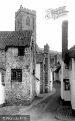
Our brief tour of Minehead starts up in Higher Town, the old town. Here the narrow Church Steps wind from Vicarage Road up steps to the church at the town's summit.
At the bottom end of Fore Street, on the right, is another Elizabethan building: the old Grammar School of 1583, with its tall porch bay, now part of Chard School.
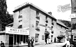
Glen Middle Mill 1908 If Sally Spencer, the lady looking at the photographer, came back today, she would see that almost all in this view (except the rear block of Pavey's Temperance Hotel) has
On the other side of the church lie the marshes of the Blyth estuary, which is why this magnificent church is known as the Queen of the Marshes.
Here we can see a closer view of the railway line, which runs parallel to the river virtually all the way to Carmarthen.
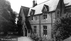
Located at the corner of Stockerston Road and South Backway, West Bank was built in 1866 by Howard Candler, 'a small, energetic mathematician', who always refused to have more than six boys boarding.
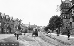
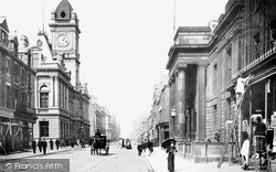
This part of Sunderland developed into the commercial and civic heart of the town following the opening of Fawcett Street Station by the North Eastern Railway.
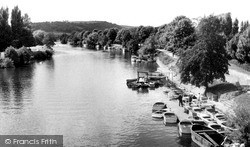
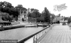
At this point the River Medway ceases to be tidal; the electrical sluice gates here, thirty feet wide and fifteen feet deep, are an essential part of the flood control scheme of the Medway Valley.
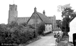
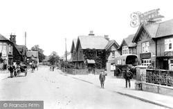
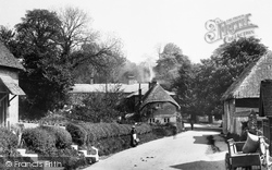
The village is now a faceless sort of place, apart from one or two buildings; these include a superb but well-disguised hall house of around 1500 in Church Road.
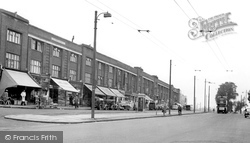
Said to derive its name from a local family, the area basically occupies a stretch of Edgware Road about a mile south of Edgware.
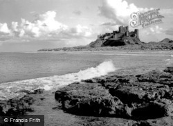
A fortified site since the 8th century, the Norman castle at Bamburgh was besieged in 1095 by William II.
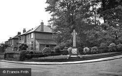
On the right the old farmyard and barns recently became Kingsmill Barns and Cottages. This scene reflects a time before the First World War, now marked by the Great War Memorial at the road junction.
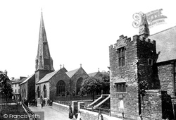
The lower parts of the chapel were built in 1330 as a charnel house, but it became a chantry chapel, endowed by John Holman, in 1449.
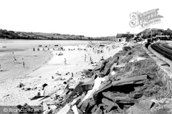
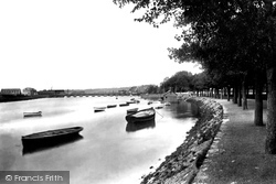
The Taw at high tide. The masts of sailing ships are visible beyond the bridge, and a fine collection of rowing boats can be seen around the boathouse.
The steel industry used the docks to import iron and other materials that are part of the steel-making process.
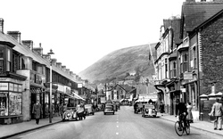
Sedbergh is a pleasant little market town on the southern edge of the lovely Howgill Fells. It grew rapidly in the Victorian era, being on a strategic turnpike road from Kendal to Kirkby Stephen.
Places (0)
Photos (0)
Memories (22913)
Books (163)
Maps (7034)


