Places
26 places found.
Those places high-lighted have photos. All locations may have maps, books and memories.
- Cemmaes Road, Powys
- Six Road Ends, County Down
- Road Weedon, Northamptonshire
- Severn Road Bridge, Gloucestershire
- Roade, Northamptonshire
- Berkeley Road, Gloucestershire
- Harling Road, Norfolk
- Road Green, Devon
- Builth Road, Powys
- Cross Roads, Yorkshire
- Steele Road, Borders
- Cross Roads, Devon
- Four Roads, Dyfed
- Road Green, Norfolk
- Biggar Road, Strathclyde
- Clarbeston Road, Dyfed
- Five Roads, Dyfed
- Eccles Road, Norfolk
- Grampound Road, Cornwall
- Morchard Road, Devon
- Wood Road, Greater Manchester
- Four Roads, Isle of Man
- St Columb Road, Cornwall
- Clipiau, Gwynedd (near Cemmaes Road)
- New Road Side, Yorkshire (near Silsden)
- New Road Side, Yorkshire (near Cleckheaton)
Photos
14,329 photos found. Showing results 721 to 740.
Maps
476 maps found.
Books
5 books found. Showing results 865 to 5.
Memories
11,058 memories found. Showing results 361 to 370.
Phil Munton
Hi - I have just discovered this site and was interested by memories of Selsdon - particularly from Jaqueline Cook remembering Littleheath Woods! I spent the first eighteen years of my life living in Ingham Road -the other side of the ...Read more
A memory of Selsdon by
Childhood In Elmsleigh Road
I lived at number 42 Elmsleigh Road from 1947 until about 1963.My pals and I played in the street in safety as there were few cars. We played "tin can tommy" and "cannon" otherwise we were on Wandsworth Common climbing ...Read more
A memory of Wandsworth by
Burgh Heath
My grandparents always considered that Burgh Heath was the best village to live in. At one time, it had two swimming pools, two tea rooms and pubs for locals to meet. One pub had a projection room and offered children a free Saturday ...Read more
A memory of Burgh Heath
Eric Galley
My father, a post office engineer, was transferred from Stoke Newington to the Larkswood exchange in 1936. I was seven years old when we moved to 49, Malvern Avenue. I first attended Thorpe Hall school, then later Selwyn Avenue ...Read more
A memory of Highams Park by
An Annual Visit To The Grass Verge Near Oakhanger Farm
As a child in the 60s/70s I would often travel with my parents in the car from Oakhanger towards Bordon to help my parents tend their allotment at Cranes. We would often pass an ...Read more
A memory of Oakhanger by
Elm Cottage
My family used to stay at Elm Cottage on Trewoon Road in Mullion for many of our summer holidays during the 1970's. The cottage belonged to a Mrs Kent, known to us affectionately as Aunty Ellie, who at that time lived in Caerleon in Wales ...Read more
A memory of Mullion
The Old Thatch
Ah, The Old Thatch. I remember it well, for this is where I grew up from the early 1940s until 1956. By today's standards it was grim: no heating, no running water, no flush loo - nothing. Yet it was a wonderful place in which ...Read more
A memory of Nether Wallop in 1940 by
When I Was A Girl
When I was about five years old my parents used to take us kids on a Sunday walk. Always remember it was to Stambridge mills. Back then the roads leading to the mill were not more then a country track. On the way to the mills dad ...Read more
A memory of Rochford in 1955 by
Bagpuss
A section of this photograph was used by Peter Firmin and Oliver Postgate for one of the opening sequences in the programme Bagpuss. This was confirmed in 1978 when a Horrabridge resident wrote to the Bagpuss programme and received a ...Read more
A memory of Horrabridge by
Oakhanger , Hampshire Names Of Areas Of Land
The Roughs- behind Oak Farm on the Bordon to Oakhanger Road Cranes - land around Oak Farm - named, it’s believed, as a family called Cranes worked/owned the land Monkey Island - an area of land ...Read more
A memory of Oakhanger by
Your search returned a large number of results. Please try to refine your search further.
Captions
5,036 captions found. Showing results 865 to 888.
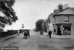
This busy junction, uniting five roads, including Northampton Road and Sheep Street, was lit by a single, central lamp post.
Dragwell, adjacent to A R Tarlton's chemist's shop (left), runs between Derby Road and Nottingham Road on the north side of the church, which stands prominently above the River Soar.
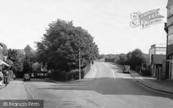
This view of the main road (known here simply as 'The Ringway') shows St George's Park just to the left of the dual carriageway.
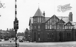
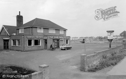
The Half Way House Hotel is on the corner of Storeton Road and Woodchurch Road out towards Prenton.
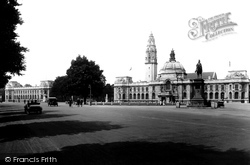
Today's motorists can but marvel at the wide expanse of road on offer here.
It was May 1998, and the town was experiencing its first road protest - a bit of a learning experience for all concerned.
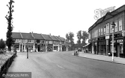
The Hackbridge Road junction is on the left, and the tree, now gone, is in the waste ground between Hackbridge Junior School and the road.
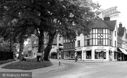
The oak trees at the junction with Chesham Road have survived while Rectory Hill becomes Sycamore Road to the right of the junction.
It stands just upstream of the road to Hatfield Peverel, in an area sometimes known as World's End.
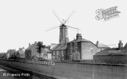
Battle your way across or round the inner relief road that did so much damage to the town's historic fabric and cross the Maud Foster Drain into Willoughby Road, where Boston's celebrated Maud Foster Mill
This view of the unpaved main crossroads at High Street and Waterloo Road gives a clear impression of the original narrowness of the eastern section of the thoroughfare, with the old coaching inn, The
Battle your way across or round the inner relief road that did so much damage to the town's historic fabric and cross the Maud Foster Drain into Willoughby Road, where Boston's celebrated Maud Foster Mill
London Road is part of the medieval route through East Grinstead. By 1910 the latest mode of transport, the motor car, could be seen on this and many other roads.
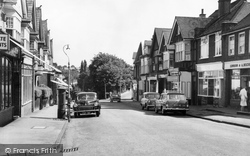
Most cars on our roads used to be British; the first one, just visible on the left here is a Morris Minor, and the second is a Rover 75.
The name means 'the road leading to the stirk land', and was often referred to as the Drover's Road, where cattle were driven along from the north.
This quiet lane, now the B4100, was a teeming main road until the M40 relieved it of traffic in the early 1990s. Now it is relatively peaceful again.
A fine illustration of the commercialisation of Windsor Road – but the buildings on the extreme left and right are apparently still residential.
A product of the increasing urbanisation of Dinas Powis at the close of the 19th century, Mill Road preserves the name of the nearby Mill Farm.
Bolney is a quiet village, located just off the main London to Brighton trunk road.
An entire colliery village was laid out east of the Tickhill to Blyth road after 1922, and named Bircotes.
This hotel was probably first built at the end of the 18th century, when the Turnpike Trusts began to improve the county's roads.
The turning for Glebe Road is by the double-fronted house in the centre, and the National Provincial Bank was later built on the opposite corner.
Villiers Road and King Charles Road were named after this battle.
Battenhall lies off London Road and was first recorded in Norman times, when the Poer family held the manor for the annual rent of one lamprey.
Places (26)
Photos (14329)
Memories (11058)
Books (5)
Maps (476)


