Merry Christmas & Happy New Year!
Christmas Deliveries: If you placed an order on or before midday on Friday 19th December for Christmas delivery it was despatched before the Royal Mail or Parcel Force deadline and therefore should be received in time for Christmas. Orders placed after midday on Friday 19th December will be delivered in the New Year.
Please Note: Our offices and factory are now closed until Monday 5th January when we will be pleased to deal with any queries that have arisen during the holiday period.
During the holiday our Gift Cards may still be ordered for any last minute orders and will be sent automatically by email direct to your recipient - see here: Gift Cards
Places
36 places found.
Those places high-lighted have photos. All locations may have maps, books and memories.
- Cardiff, South Glamorgan
- Barry, South Glamorgan
- Penarth, South Glamorgan
- Rhoose, South Glamorgan
- St Athan, South Glamorgan
- Cowbridge, South Glamorgan
- South Molton, Devon
- Llantwit Major, South Glamorgan
- Chipping Sodbury, Avon
- South Chingford, Greater London
- South Shields, Tyne and Wear
- Ayr, Strathclyde
- St Donat's, South Glamorgan
- Llanblethian, South Glamorgan
- Thornbury, Avon
- Llandough, South Glamorgan
- Fonmon, South Glamorgan
- St Nicholas, South Glamorgan
- Jarrow, Tyne and Wear
- Penmark, South Glamorgan
- Font-y-gary, South Glamorgan
- Maybole, Strathclyde
- Yate, Avon
- Oxford, Oxfordshire
- Torquay, Devon
- Newquay, Cornwall
- Salisbury, Wiltshire
- Bournemouth, Dorset
- St Ives, Cornwall
- Falmouth, Cornwall
- Guildford, Surrey
- Bath, Avon
- Looe, Cornwall
- Reigate, Surrey
- Minehead, Somerset
- Bude, Cornwall
Photos
5,054 photos found. Showing results 741 to 760.
Maps
2,499 maps found.
Books
1 books found. Showing results 889 to 1.
Memories
1,580 memories found. Showing results 371 to 380.
Tinker Tailor Solder Sailor 1916
Lynette Carter nee Evans My grandfather was Romany Gypsy, Stephen Evans, who better known as (Stinny)? During 1916 he lived in Gorseion, while his wife; my grandmother Mary Ellen Boswell lived in Gowerton. Nobody ...Read more
A memory of Gorseinon in 1900 by
The Farm On Broad Lane
I was four years old and lived with mum in a caravan parked in this farmer's field along with other caravaners. Mum and dad would have paid rent to the owner of the farm. I was the only youngster around and had no choice ...Read more
A memory of Burtonwood in 1959
Growing Up In Lea Road Southall
I lived in Lea Road, Southall. My father Alfred was a lorry driver for Sanders & Son, also known as The Tube, half way down Gordon Road. My mum Betty worked as a manager of Bill Taylors newsagents just off the ...Read more
A memory of Southall in 1968 by
My Dad
I remember the snows of 1963, I was four, looking out of our bedroom window on Camp Road and the snow was drifted up to the windowsill! Gorgeous memories of our bedroom fire making shapes on the ceiling and being warm as toast as me and ...Read more
A memory of South Kirkby in 1963 by
My Early Years
I was born 1942 in a wool shop at 300 London Rpad, grew up in Stakes Wood, granny tree, blue bell woods etc. Idylllic childhood . I went to Stakes Hill Rpad primary school 1947 to 1953, Mrs Nelson my teacher. Elsie Patterson Pat ...Read more
A memory of Waterlooville in 1949 by
Surrey St.
I have only just discovered this website and felt compelled to respond. I was born in Heathfield Gardens, South Croydon in 1948 and my maiden name was Murphy. We moved to Wyche Grove near the Purley Arms, South Croydon when I was about 5 ...Read more
A memory of Croydon by
Frodsham Caves
Just south of Frodsham are some natural caves in the red sandstone rock. They appear to have been enlarged in the Middle Ages and are a rare surviving example of mediaeval mining. I had never heard of these caves - or even Frodsham ...Read more
A memory of Frodsham in 1966 by
Saturday Afternoon Shopping
I remember Dewsbury on Saturday afternoons when everyone was shopping for bargains in the market and shops. You couldn't move for people and trying to go round Woolworths was a nightmare! Everywhere was heaving with ...Read more
A memory of Dewsbury by
Mmmm...Rushmere
How well I remember Rushmere. I used to attend Kings College School around 300 metres away, and a group of us would frequently return home along South Side with a quick detour to the pond. It was best in winter because of the weather. ...Read more
A memory of Wimbledon in 1960 by
Growing Up In Post War Harrow Weald
I lived at 20 Silver Close, Harrow Weald from 6 weeks old in 1941 until I left for Australia in 1961. I atended Harrow Weald Infants School from 1946, the old building was opposite the bus garage in the high ...Read more
A memory of Harrow Weald in 1941 by
Captions
2,444 captions found. Showing results 889 to 912.
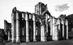
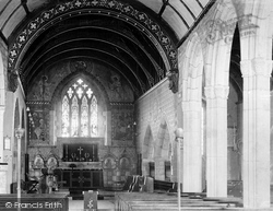
Arcades supported by tall granite piers with carved capitals separate the nave from the north and south aisles. The earlier chancel beyond has smaller arcades and is slightly out of alignment.
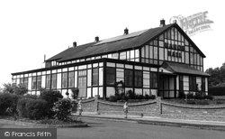
Manor Hall was built shortly after 1935 as a dance hall at a time when a number of residential estates were being built south of Manor Road.
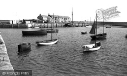
South-westwards from the North Wall (left), across the harbour basin just about as empty as it would be today, are the Cobb Warehouses (centre) and Granny's Teeth steps, to the left
Shipston-on-Stour is situated ten miles south-east of Stratford, and was once a centre for sheep and wool for the Vale of the Red Horse.
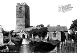
Note the unbuttressed west tower and the roof of the south aisle in poor condition, just three years before restoration.
Just south of the town is the amphitheatre of Maumbury Rings, which was to Dorchester 'what the Coliseum was to Rome', according to Hardy.
It was later known as West Park, in order to distinguish it from South Park.
This once busy road led to the Great Western Railway station further south.
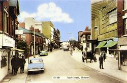
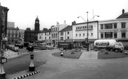
On the right is the Town Hall, built in 1902 to the designs of South Shields-based architect Fred Rennoldson.
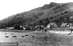
Arrochar is a picturesque village in the south-west Highlands, at the head of Loch Long.
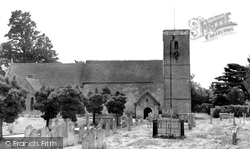
The long narrow nave has a fine Norman doorway, and there is a Norman arch in the south wall which led to the priory.
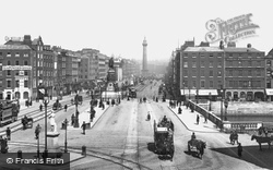
It became instead the city's main route from north to south.
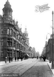
This view is taken from the southern end of Foregate Street, looking south along The Foregate and The Cross. On the left is the Hop Market, resplendent in red terracotta.
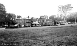
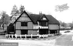
This hotel is on Penns Lane, near Walmley, south of Sutton Coldfield. The foremost stream in this area is Plants Brook, which once powered several mills.
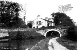
The canal opened in 1817, and ran from Kendal to Lancaster, later continuing south to connect with the Leeds and Liverpool Canal via a tramway at Preston.
Four hundred years ago, Godstone was at the centre of the leather trade and the manufacture of gunpowder, while to the south there were important iron-works.
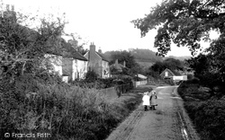
Cosily tucked away in a fold of the sandstone hills south-east of Godalming, Mare Lane leads to the highest point of the Down at Hydons Ball, where it reaches 593 feet.
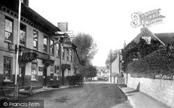
In this view we look past the Horse and Jockey pub towards the south of the village; the church is beyond the high tree on the left.
A directory of the time states that 'the church of All Saints is a plain and ancient edifice of flint, consisting of chancel, nave, south aisle and porch, and a small wooden tower with pinnacles, rising
This view is south-westwards from the quarry gallery to Anvil Point (centre left) where Purbeck's coast becomes a vertical wall of stone.
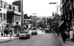
Looking from South Street the general appearance of Victoria Road has changed little in the last 50 years.
One of the most famous pubs in the area, the building stands on the Berkshire/Hampshire border, just to the south of Newbury.
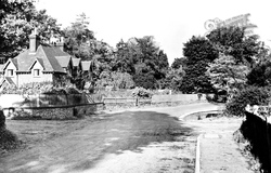
Elmore Cottages still command the High Road opposite the village pond and crossroads but have been extended on the south side where the fence on the flint wall has been removed.
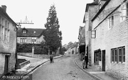
Running north to south with closely built houses of all ages, the High Street of this quaintly composed village is set in a large parish rich in vernacular architecture, ancient burial
Places (15471)
Photos (5054)
Memories (1580)
Books (1)
Maps (2499)


