Places
26 places found.
Those places high-lighted have photos. All locations may have maps, books and memories.
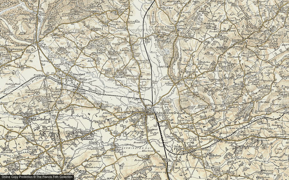
- Cemmaes Road, Powys
- Six Road Ends, County Down
- Road Weedon, Northamptonshire
- Severn Road Bridge, Gloucestershire
- Roade, Northamptonshire
- Berkeley Road, Gloucestershire
- Harling Road, Norfolk
- Road Green, Devon
- Builth Road, Powys
- Cross Roads, Yorkshire
- Steele Road, Borders
- Cross Roads, Devon
- Four Roads, Dyfed
- Road Green, Norfolk
- Biggar Road, Strathclyde
- Clarbeston Road, Dyfed
- Five Roads, Dyfed
- Eccles Road, Norfolk
- Grampound Road, Cornwall
- Morchard Road, Devon
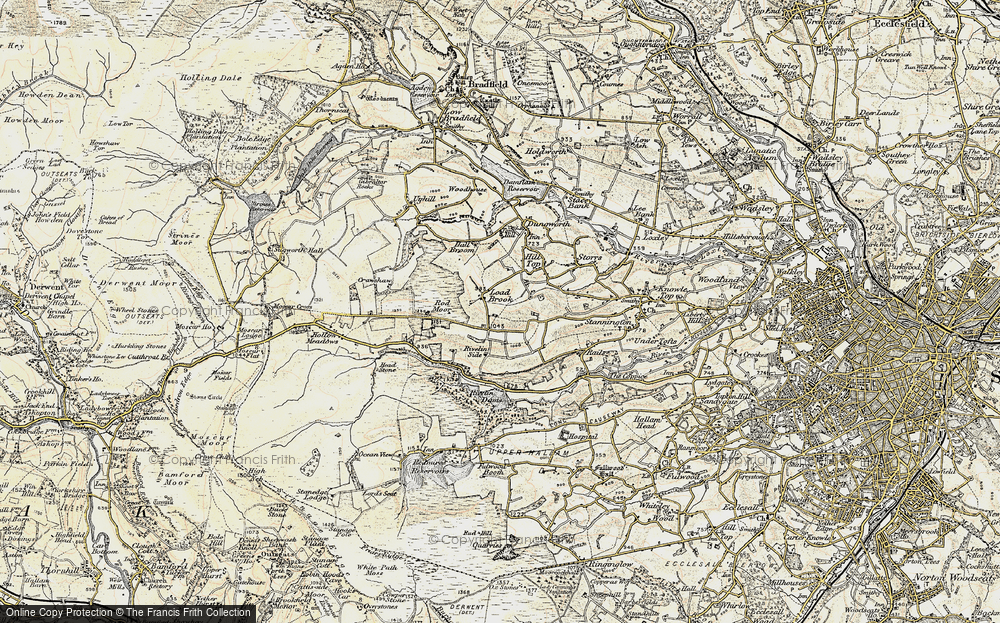
- Wood Road, Greater Manchester
- Four Roads, Isle of Man
- St Columb Road, Cornwall
- Clipiau, Gwynedd (near Cemmaes Road)
- New Road Side, Yorkshire (near Silsden)
- New Road Side, Yorkshire (near Cleckheaton)
Photos
14,329 photos found. Showing results 301 to 320.
Maps
476 maps found.
Books
5 books found. Showing results 361 to 5.
Memories
11,058 memories found. Showing results 151 to 160.
Air Conditioning
I worked in Rolls-Royce installing the air conditioning unit, taking the car out on the road to test the system worked correctly. I worked with Maurice Ashwin, my foreman was Jack Gadd. The senior bosses were always known by ...Read more
A memory of Crewe in 1960 by
Hemingford Grey Playgoup
We moved in to Apple Orchard Lane in 1963. There were only 4 houses in the road and after quite a short time it was decreed that we should become part of The Apple Orchard and so we were numbered on and became 15. I ...Read more
A memory of Hemingford Grey by
Shopping Memories.
This photograph shows two ladies chatting together in the foreground. On the right in the floral dress is my mother Mrs Beatrice Farnsworth. My family have been farmers in the locality for three generations. My mother's car is ...Read more
A memory of Worksop by
Old School Friends
I attended the local Pelham County Secondary Boys School which was close by. A number of my friends who attended came from outlying districts such as Carshalton, Chessington, Tolworth and Walton on Thames, travelling by Southern ...Read more
A memory of Wimbledon by
A Walk For A Pint
I can remember vividly walking from Trafford Road in Salford, all the way up Eccles new Rd with my new wife. Why did we walk? because we had nowt, as we said then. We walked all the way, talking and planning our future. When we got ...Read more
A memory of Eccles in 1970 by
My Hometown
Brynmawr is a quiet little town on the edge of the valley roads. These photos bring back memories of all the hills I climbed, picnics on the mountain, paddling in the pond across from our house in Warwick Road. Snow 6ft deep in Winter. ...Read more
A memory of Brynmawr by
Carousel Cafe High Town Luton
Hello, does anyone remember the lovely cafe in High Town road Carousel cafe? I would love to see pictures and memories about it .
A memory of Luton
The Imperial Laundry Battersea 1960's
Hi does anyone here know whether The Imperial Laundry was near to Stanmer Road in Battersea in the 1960's Thank you for your time dottie
A memory of Battersea by
My Family In Woolston
My Grandparents lived in Oakbank Road, My Aunt lived in Laurel Road. I can remember going to work with my Nan in the evenings. She used to be a cleaner for Knaptons Bookies and Malizias Bookies (Bridge Road). My Aunt worked ...Read more
A memory of Woolston in 1959 by
Childhood
Having just stumbled across this website and viewed the photographs, I immediately went into nostalgia mode. I was born in Alrewas in 1938 in one of the small cottages in Main Street just down from Mansell's bridge, and then moved to The ...Read more
A memory of Alrewas in 1940 by
Your search returned a large number of results. Please try to refine your search further.
Captions
5,036 captions found. Showing results 361 to 384.
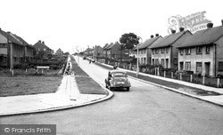
The grid-like pattern of the streets west of Laindon High Road preserves the layout of some of the early plotland estates.
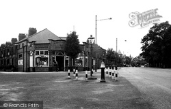
The road leading off to the left is Moss Road, which is now blocked off to form a cul-de-sac, and the bollards and ornate lantern (centre) have gone.
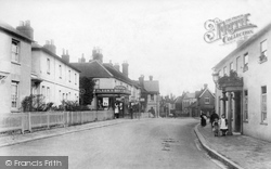
The buildings in the foreground, including the Duke's Head on the right, are in Butts Road, while Olsen's Stores (left) and those nearer the town are in the High Street.
Today, as might be expected from somewhere which boasts both a Birmingham Road and a Coventry Road, it is largely a commuter village.
The new thoroughfare swept in a wide arc from the old Stump Cross, and along Van Diemen's Road, to join Baddow Road at a new roundabout by the Army & Navy pub.
Even at this time Compstall Road, along with Stockport Road, had long been at the commercial heart of the town.
Re-crossing the Trent at Gunthorpe, the route turns back towards Nottingham along the busy A612 to Burton Joyce, where the river sweeps close to the road.
The road leads downwards and eastwards from opposite the Charmouth House Hotel (right), to Hardown Hill and Stonebarrow Hill (centre), where it climbs through Morecombeland.
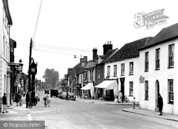
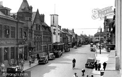
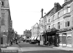
This small Wiltshire market town has a long, roughly north-south High Street, seen here looking north from the junction with Bath Road.
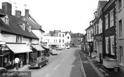
On the right, the imposing 18th-century brick frontage of Lloyd's Bank, with its stone pediment and columned entrance, faces the small shops across the road.
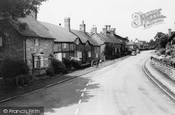
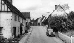
Stebbing, strung out along a mile-long road, has a fine collection of old buildings: the house with the leaning frontage is late 15th-century, the other cottages slightly later.
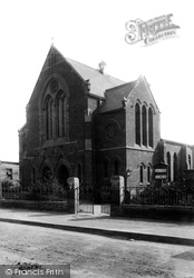
The chapel was built in 1884 on the south side of Carshalton Road, but has since been demolished.
How amazing to see such a lack of road traffic by comparison with today! The Broadway is in practice a section of the main trunk road between Middlesbrough and Redcar.
This view of the Cross is taken from the road going to West Meon. In fifty years this road has seen traffic increase tenfold (making the taking of this photograph somewhat hazardous).
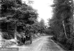
The lack of other vehicles meant that it probably didn't matter too much, but the driver of the horse and trap is apparently unaware of the 'keep left' rule of the road.
The photographer was standing towards the northern end of Hagley Road, looking towards Stourbridge. The view is greatly changed today, with the cottages on the left barely recognisable.
It is remarkable that until the Eastern Avenue arterial road was built in the 1920s, the main trunk road from London to the port of Harwich and East Anglia passed through the narrow confines
This is another view that has now changed considerably because of the ring road, which could be said to slash its way through here.
A final view of Woking and its parades of shops, this time on the Chobham Road. There seem few customers out and about, and the only traffic on the road is to be seen in the far distance.
The back of the Crown Inn can just be seen in the centre, where Station Road becomes Hinckley Road, curving south past the parish church, and on to Nailstone and Market Bosworth.
The name means simply 'long street', and the village is spread along the main road, originally the Roman road running from London to Caistor St Edmund, the Roman town just south of Norwich.
TODAY THE RUSHES seems just a busy stretch of road linking the town centre to the main road to Derby.
This shows the view looking along Reading Road, past the current Post Office and the Shell petrol pump, to the junction with Friday Street and into Duke Street as it heads towards the Market Place.
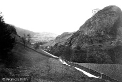
A horse and cart wends its way up a gated minor road through the Coniston Fells.
Places (26)
Photos (14329)
Memories (11058)
Books (5)
Maps (476)


