Places
36 places found.
Those places high-lighted have photos. All locations may have maps, books and memories.
- Pentre-cwrt, Dyfed
- Pentre Halkyn, Clwyd
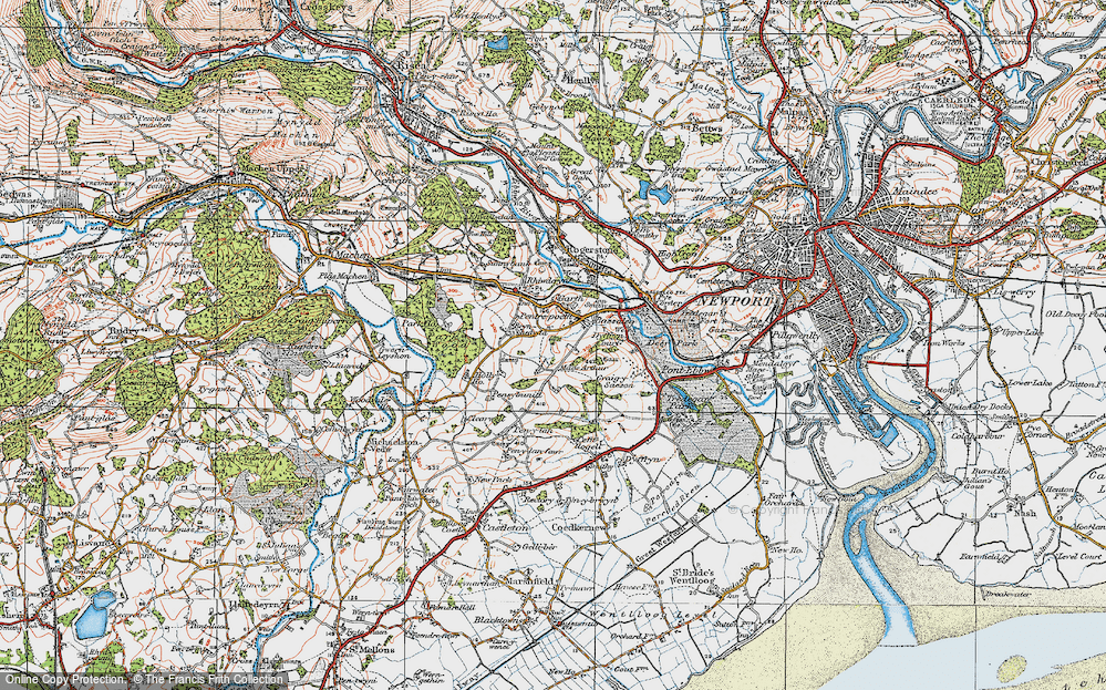
- Pentre, Mid Glamorgan
- Ton Pentre, Mid Glamorgan
- Pentre, Powys (near Llangynog)
- Pentre, Powys (near Guilsfield)
- Pentre, Powys (near Bishop's Castle)
- Pentre, Dyfed (near Pontyates)
- Pentre, Powys (near Newtown)
- Pentre, Clwyd (near Mold)
- Pentre, Clwyd (near Ruabon)
- Pentre, Shropshire (near Chirk)
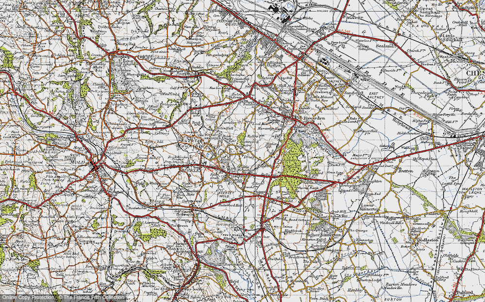
- Pentre, Clwyd (near Hawarden)
- Pentre, Clwyd (near Chirk)
- Pentre, Clwyd (near Ruthin)
- Pentre, Clwyd (near Mold)
- Pentre, Shropshire (near Oswestry)
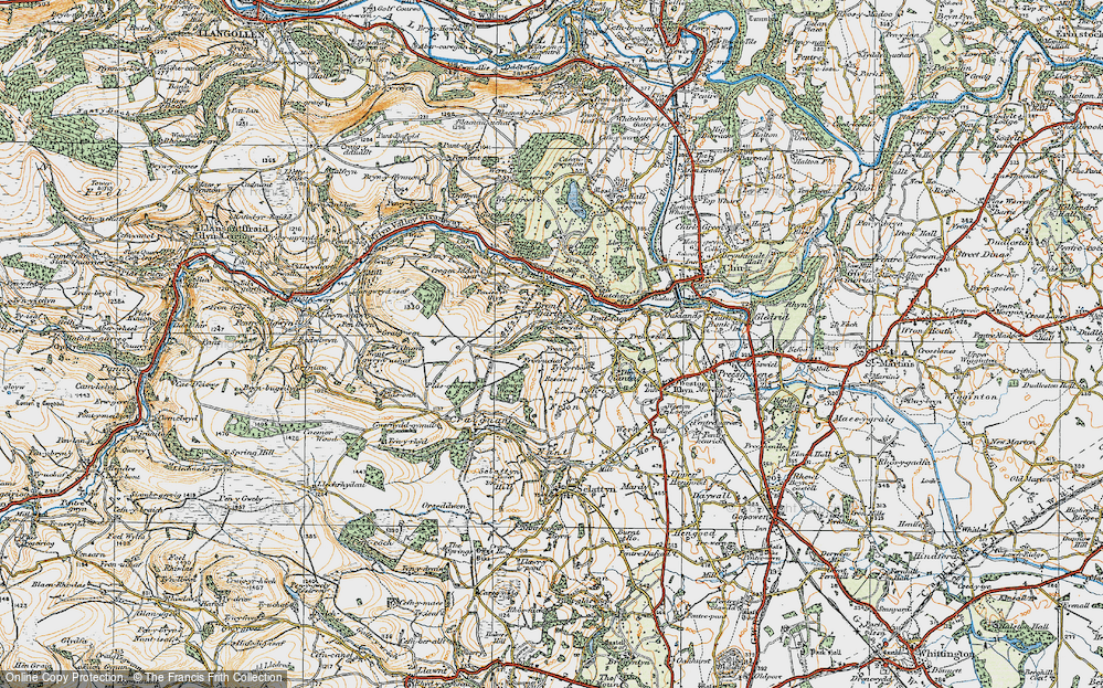
- Pentre, Powys (near Welshpool)
- Pentre, Clwyd (near Mold)
- Pentre, Shropshire (near Forton)
- Pentre Broughton, Clwyd
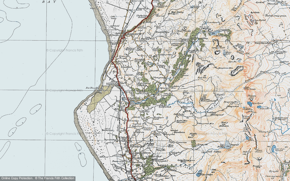
- Pentre Gwynfryn, Gwynedd
- Pentre Maelor, Clwyd
- Pentre-clawdd, Shropshire
- Pentre Galar, Dyfed
- Pentre Llifior, Powys
- Pentre-cefn, Shropshire
- Pentre-Gwenlais, Dyfed
- Pentre-Poeth, Dyfed
- Burntwood Pentre, Clwyd
- Pentre Berw, Gwynedd
- Pentre Hodre, Shropshire
- Pentre Llanrhaeadr, Clwyd
- Pentre-celyn, Clwyd
- Pentre Cilgwyn, Clwyd
- Pentre Morgan, Dyfed
Photos
98 photos found. Showing results 81 to 98.
Maps
316 maps found.
Books
2 books found. Showing results 97 to 2.
Memories
1,253 memories found. Showing results 41 to 50.
Miner's Hall,Glyncorrwg
My memories are from the 1950s to the 1970s. My grandparents lived opposite the Miner's Hall for many years. (28 Cymmer Road). My grandfather was a bricklayer in the pit and also the Treasurer for the Miner's Hall. I ...Read more
A memory of Glyncorrwg in 1960
A Crying Shame
The Castle used to be the home of the borough council, but was demolished some time during the 1960s and a new civic centre, which is an eyesore, was built on the land opposite. It was an absolute travesty that this lovely building was destroyed.
A memory of Barnstaple in 1960 by
Slough High Street Park Street & Chandos Road
Hi, I am researching my family tree and am trying to locate Chandos Road and Unity Cottages in Park Street. I believe that Chandos Road was knocked down when the Queensmere Centre was built. I wondered ...Read more
A memory of Slough in 1900 by
Laleham Abbey
My sister Kathleen Taylor (former name) was cook in the kitchen for the retired old ladies. I was always staying with her during school holidays. Her husband then (now deceased) was Barry Taylor and they had two children, Sarah born ...Read more
A memory of Laleham in 1970 by
Lymington In The 1940s
My maternal grandmother and mother were both born in Lymington, my mother attending the grammar school in Brockenhurst (I remember as a small boy her pointing it out to me from the train) In 1944, when the V1 'doodlebugs' ...Read more
A memory of Lymington in 1944 by
A Great Place To Live
Having been born and brought up in Buckhusrt Hill in the 1960s and 1970s and 1980s and now living in Kent, it reminds me what a unique place it once was. My immediate memories are of Lords Bushes and living in Forest ...Read more
A memory of Buckhurst Hill by
Growing Up In A Small Village
My parents moved to Twycross from London in the early 1960s. We lived on Sheepy Road next door to Mr Charlie Brooks and Louie Jones. On the opposite side were Stan and Ilma Jones and Len Gibbs and his daughter Joan. ...Read more
A memory of Twycross by
A Glance Backwards
I came to live in Stadhampton in 1954 from Henley on Thames. My father was the village Policeman. I found that even for 1954 life in Stadhampton was comparatively primitive compared with what I was used to! But it was a ...Read more
A memory of Stadhampton in 1954 by
Wonderful Memories
I have wonderful memories of Fowey, as a teenager I used to go and stay with a lovely lady in a cottage leading down to the centre. She had a son and daughter but I think they had left home, one to go nursing and the other in the ...Read more
A memory of Fowey in 1955 by
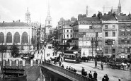
Bombing Raids In 1940
Bristol's premier shopping centre was turned into a wasteland of burned out buildings after major bombing raids in 1940, during the Second World War. Bridge Street Summary Bridge Street ran from High Street, rising up a ...Read more
A memory of Bristol by
Captions
3,593 captions found. Showing results 97 to 120.
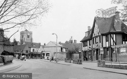
There is perhaps a brighter face to the village centre today than is apparent in the photograph, although the traffic problem is ghastly.
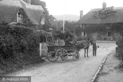
A rustic scene in the centre of the village, southwards along Duck Street, with the Swiss Cottage contributing its flamboyantly flowing thatch (left).
A rustic scene in the centre of the village, southwards along Duck Street, with the Swiss Cottage contributing its flamboyantly flowing thatch (left).
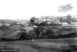
This view was taken from Nettlecombe looking towards the thatched Knapp House and St Mary's Parish Church (centre).
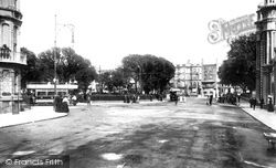
The Old Steine (pronounced 'steen') is the traditional centre of Brighton - in earlier times it was a broad grassy valley where fishermen dried their nets.
The 18th-century obelisk milestone (centre left) was moved to outside the George in 1974. The building on the right has 17th-century pargetting, with the arms of Bayning.
Today the whole focus of the shopping centre of Widnes has moved from the area around Victoria Square about a mile away so that it is now centred here and the street has become a pedestrian
Probably taken from somewhere near Loverscombe, this shows the old A38 (centre) before the dual carriageway was built in the 1970s.
Tony`s Handyman Centre has occupied this site since Woolworth`s moved into the Kingfisher Centre over 20 years ago. Currys, next door, is now occupied by a building society.
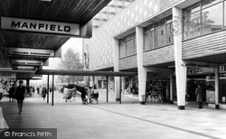
Although Basildon was burgeoning as a commercial centre, the presence of the Bankrupt Stock Clearance shop on the right indicates that not everybody was doing well.
Although Basildon was burgeoning as a commercial centre, the presence of the Bankrupt Stock Clearance shop on the right indicates that not everybody was doing well.
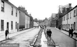
Castle Street runs north from the town centre. Two boys are using the drainage dyke to sail their toy yacht. The town was once a significant cloth-producing centre, renowned for its kersey.
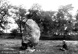
Just south of Penrith, Mayburgh Henge is a circular bank of earth and stones of about 1.5 acres, with one 10ft stone at the centre. It is thought to have been built between 1000BC-2000BC.
Just south of Penrith, Mayburgh Henge is a circular bank of earth and stones of about 1.5 acres, with one 10ft stone at the centre. It is thought to have been built between 1000BC-2000BC.
Today, after considerable localised replanting, there are over 2,000 acres of woodland in the vicinity, through which wander numerous walking and cycling trails all centred on Lake Delamere.
The cinema, centre right, is the Tivoli; it was formerly known as the Kursaal. It is now an amusement arcade. The gable end of the shop visible in the centre reads 'J Bailey, Family Butcher'.
Looking north-westwards from Lower Yonderover Farm, with hay-bales in Mill House paddock (foreground) and the sign for the Star Inn (centre), the River Brit skirts the edge of the
Anybody standing today in approximately the same position as the photographer would see nothing more than a couple of dreary buildings and one of the Kingfisher Centre`s multi-storey car parks.
If we look carefully at the old medieval bridge on the right, it is evident that the brickwork in the centre differs from the rest.
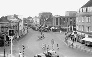
The Circus, in the town centre, is where five roads meet. It has the usual mixture of banks and public houses on its corners.
The bustling centre of Truro is paved with granite setts, and running water flows in the gutters. Barclays Bank dominates the west end, while Lemon Street can be seen emerging on the extreme left.
Just beyond the precinct, a builder named Trickett built an estate of bungalows with Bodycoats Road through the centre.
Hoveton is one of the centres of Broadland, and is crowded in the summer months.
Tenbury lies at the centre of a countryside rich in small farms, orchards and market gardens. Tenbury Wells is known even now as the 'town in the orchard'.
Places (57)
Photos (98)
Memories (1253)
Books (2)
Maps (316)


