Places
26 places found.
Those places high-lighted have photos. All locations may have maps, books and memories.
- Cemmaes Road, Powys
- Six Road Ends, County Down
- Road Weedon, Northamptonshire
- Severn Road Bridge, Gloucestershire
- Roade, Northamptonshire
- Berkeley Road, Gloucestershire
- Harling Road, Norfolk
- Road Green, Devon
- Builth Road, Powys
- Cross Roads, Yorkshire
- Steele Road, Borders
- Cross Roads, Devon
- Four Roads, Dyfed
- Road Green, Norfolk
- Biggar Road, Strathclyde
- Clarbeston Road, Dyfed
- Five Roads, Dyfed
- Eccles Road, Norfolk
- Grampound Road, Cornwall
- Morchard Road, Devon
- Wood Road, Greater Manchester
- Four Roads, Isle of Man
- St Columb Road, Cornwall
- Clipiau, Gwynedd (near Cemmaes Road)
- New Road Side, Yorkshire (near Silsden)
- New Road Side, Yorkshire (near Cleckheaton)
Photos
14,329 photos found. Showing results 1,001 to 1,020.
Maps
476 maps found.
Books
5 books found. Showing results 1,201 to 5.
Memories
11,058 memories found. Showing results 501 to 510.
Born Here And Still Live Here
i was born in late 1949 in sugley street and currently live in the street directly opposite rokeby street with the school in the middle my name i s geoffrey watson although my surname was changed from hudspith when i ...Read more
A memory of Lemington by
The Sweetshop Just Up The Road From The Methodist Church In Hockley
Just past Hockley Primary School on the way to the village was a small sweet shop/cafe? and it was run by a really nice man called "Bill". He used to sell 1d lollies to the school ...Read more
A memory of Hockley by
Dagenham Heathway
I am 74 and was born at 4 Northfields gardens on may 11 1947. And remember when my nan lived at 14 Sterry road just off the Heathway She had a Dalmatian called chukie I used to go to Marino’s for sweets and mum and dad took my ...Read more
A memory of Dagenham by
Lived Worked And Played Here
My mother was born in keepers cottage in Battle Wood, who grew up and later got married in Battle church. My grandfather, Leonard Glyde was a fireman during the second world war stationed at Battle fire station. I was ...Read more
A memory of Battle by
Fairlea Meads
My grandmother appears as a cooks assistant at a school at Fairlea Meads ,Chesterfield Road in Eastbourne. Sadly I cannot find any photos of the building.Any help would be greatly appreciated.
A memory of Eastbourne by
Southend Technical College
I remember the many years, 1964 - 1975 attending “night school”, and also working at Southend Tech, Engineering Dept. All gone now, first the original College building which used to be where the Odeon cinema is now, ...Read more
A memory of Southend-on-Sea by
Graces Road
My Mother was born in Graces Road in Aug 1893 in her parents house with her eight Bros/Sisters until she married my father in 1918, on leave from France. In 1920 they moved to Green Lane, Thornton Heath. I was Born in 1930. On special ...Read more
A memory of Camberwell by
Wembley High Road
I grew up in Wembley, late 60’s to early 80’s. used to hang around the high road a lot . Who remembers a trendy shop called Screws ,it had like a coffee/cafeteria downstairs anc a record booth that you could listen to before you ...Read more
A memory of Wembley by
Home
I grew up in Welling in a house on Ridley Road. My mother lived in that house for over 60 years until she died this past January. I have 3 sisters - that was a tiny house with 1 bathroom, at times we seemed to really fill the place - felt more ...Read more
A memory of Welling by
My Time In The Hole
It was and is a dump, a ghetto, one road in or out, nothing was there NOTHING. I attended Wolseley and Fairchild Sec Mod.
A memory of New Addington by
Your search returned a large number of results. Please try to refine your search further.
Captions
5,036 captions found. Showing results 1,201 to 1,224.
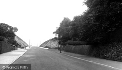
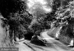
named after the colour of the soil, used to be a narrow winding road; but with the development of the Parkhill estate in 1947, a cutting was made through here to provide quicker access.
This is the corner of St Anne's Road West and Garden Street (right) before it was fully surfaced.
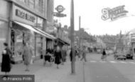
The butcher's on the right-hand side of the road is taking every precaution to keep the temperature down inside his shop.
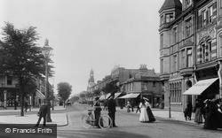
The road to the right leads to the railway station, but directly along the leafy street is The Spa, a particularly popular hydro.
The pho- tographer is looking towards North Road.
Pembury is now slowly being absorbed into the outskirts of Tunbridge Wells; it is situated on the main A21 London to Hastings road.
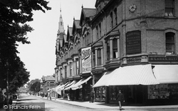
Pallister Road is the impressive Bank Building built in 1899 to house the London & County Bank as well as a number of shops, including the Home and Colonial Stores.
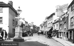
D E Baker's department store (extreme left) flanks the entry to Church Street from the Market Place; the road was very much narrower than today, following the road widening scheme and demolition
Two chums (right) march down Commercial Road, in the South Yorkshire colliery village of Skelmanthorpe.
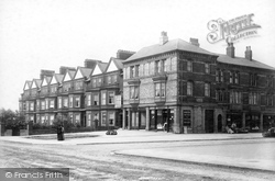
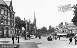
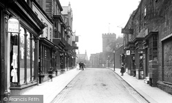
Solid Victorian architecture in this tree-lined road.
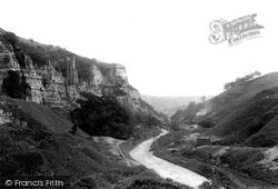
The A623 Chesterfield-Chapel en le Frith road is now almost completely surrounded by tall trees, which obscure the limestone crags we can see in this picture.
Saxmundham sits astride the main Ipswich to Lowestoft road. The town experienced rapid change and development after the railway arrived in the 19th century. The Bell Hotel was built in 1842.
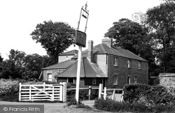
The Harrow stands on the road to North Ockendon.
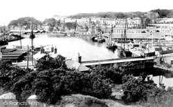
A mixture of craft lie alongside the jetty awaiting to load.
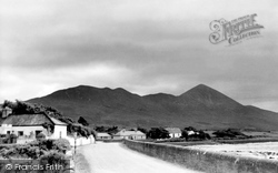
A view taken along the coast road between Westport and Louisberg, showing the almost conical Croagh Patrick.
The unsurfaced roads and thickly wooded banks climb down the steep slopes at the end of the Vale of Pewsey.
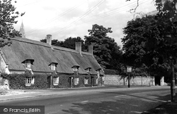
The Fitzwilliam Arms, on the main road to Peterborough, was possibly altered from a row of cottages.
At one point they were nearly removed dur- ing a road improvement scheme, but prompt action by the locals preserved them.
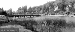
Marshal Conway's great 18th-century landscape improve- ments and garden buildings in the grounds of Park Place included the rustic boulder-bedecked bridge on the right, carrying the Wargrave Road
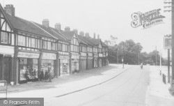
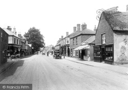
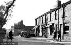
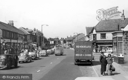
New Road Side is here still a street of small, traditional shops.
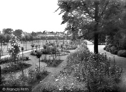
The houses in the background are those in Southwell Park Road. The tennis courts and bowling green are to the left.
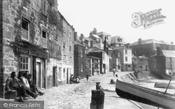
The road is very different to its modern counterpart, and reflects how much the sea was the main way out of St Ives. Cars pass by today where boats were once pulled up on the beach.
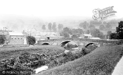
Pateley Bridge, in Upper Nidderdale, lies on the road between Grassington and Ripon, and was once an important crossing point over the river.
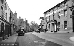
This late Victorian scene of the High Street typifies a more tranquil era, where the only signs of traffic pollution appear to be from the passing of the pony and trap further down the road!
Places (26)
Photos (14329)
Memories (11058)
Books (5)
Maps (476)


