Places
4 places found.
Those places high-lighted have photos. All locations may have maps, books and memories.
Photos
379 photos found. Showing results 101 to 120.
Maps
23 maps found.
Books
1 books found. Showing results 121 to 1.
Memories
690 memories found. Showing results 51 to 60.
Growing Up
We moved to Cattedown in 1952 when I was 8 years old, to Tresillian Street. My first memory is of the Coronation celebrations and a resulting street party, when we received Coronation Mugs, had bicycle decoration contests and street ...Read more
A memory of Cattedown by
The Milton Road Coronation Party. 1953?
A large wooden hall was built on land behind Mr and Mrs Chrime's house in Milton Road and we had a street party for the Coronation of Queen Elizabeth II. I remember seeing bits of the ceremony on ...Read more
A memory of Ellesmere Port in 1953 by
Fish & Chips In Brightlingsea
During the late 40's and 50's we all travelled to Jaywick Sands for our summer and bank holidays and on the weekends made regular excursions to the nearby seaside resorts of Frinton and Walton-on-the Nase but my ...Read more
A memory of Brightlingsea by
Helmshore 1950 1968
I was born in Musbury Road at the bottom of Tor Hill and spent 5 years with Tor as my back yard; my name is still chiselled in the rocks at the top. Anyone remember the Tor Mile race? In 1955 we moved up to 3, Lancaster ...Read more
A memory of Helmshore by
Now Living In Egypt
Hi Anthony, I knew your grandmother Ketura and your grandfather Ellis and most of their children. They had a very large family. Your Auntie Margery and I were great friends. We were always getting into trouble for climbing ...Read more
A memory of Llysfaen in 1960 by
Dysart In The 60s
I was brought up in Dysart, first in Howard Place then the High Street, where my mum and dad still live. I remember all the shops that were there in the 1960s when I was a little girl, the little wool shop where you could buy odd ...Read more
A memory of Dysart by
The Gorse Br Staff Association Club
My mother and father (Charles and Lilian) ran the Club from 1954-1957 approx. We lived in just one part with a large living room, a kitchen which led to the back area of stables and grass and 4 bedrooms. ...Read more
A memory of Woodford Halse in 1954 by
Holidays In Laugharne
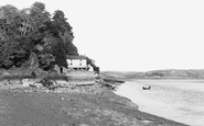
I and my family stayed at the Ferry House, next to the Boat House from 1965 to 1973. The house was then owned by the wife of my dad's boss and we used to be able to go for a fortnight each summer. We used to park our car, ...Read more
A memory of Laugharne in 1965 by
The Sunday Granada Matinees
How many of you out there remember the Sunday Granada matinees? On Sundays at the Grendada in between movies the rock bands that performed in that theatre included the Rolling Stones, The Saints, Plus One and The ...Read more
A memory of Dartford in 1956 by
Happy Times
I lived not very far from Beaumont park and as a child I used to go there along with friends, my sister or my brother, I remember the huge slide that was there and the long metal rocking horse that was on the field. The park was ...Read more
A memory of Huddersfield in 1973 by
Captions
442 captions found. Showing results 121 to 144.
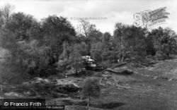
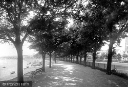
The area to the right is Rock Park. Beyond, the elegant town houses that once had rear gardens down to the river can be picked out through the trees.
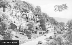
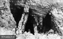
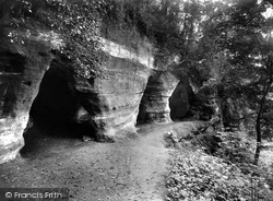
The soft rock cliffs above the Severn led to the creation of many caves. Some of these were enlarged and used as dwellings until quite recent times.
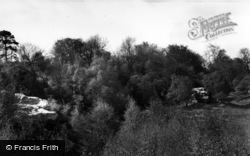
It is well worth the effort to climb up these rocks: you're on top of the world, if a little weary and overheated.
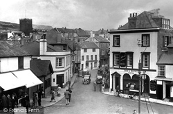
We are looking down on The Square from Middle Row at the bottom of Broad Street. The shot is north-eastwards, along Bridge Street (centre) to the roofs of Coombe Street.
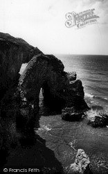
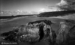
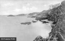
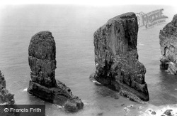
These spectacular rock formations were crafted by the waves from a collapsed arch. They are home to colonies of guillemots, razorbills and kittiwakes.
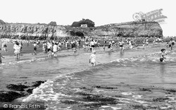
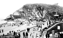
Beyond the happy holidaymakers the distinctively striped rock face, vividly illustrated here, is a signature feature of the cliff face between Barry and Penarth.
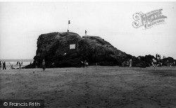
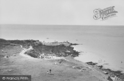
Rock is now a very popular resort for dinghy sailors on the north shore of the Camel estuary, which is seen behind at high tide.
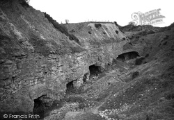
These impressive caves, their interiors hewn out of the limestone rock, were later to be used to house the wartime 'bouncing bomb'.
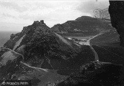
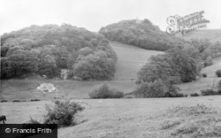
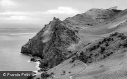
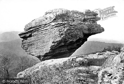
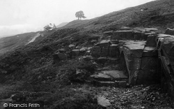
This is a dramatic example of a stratified rock formation apparently teetering on the edge of a precipice and looking out over the valley beyond.
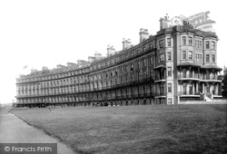
This superb picture shows the magnificent sweep of Nayland Crescent at the western end of town, close to the Royal Sea-Bathing Hospital and the infamous Nayland Rocks.
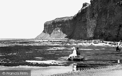
The impressive profile of Huntcliffe has been much loved by generations. Here two holidaymakers contemplate its mystical power, sitting on a rock, dangling their feet into the water.
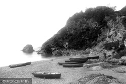
Rowing boats are drawn up on the small shingle beach on the west side of Charlestown harbour, with the Polmear Island rock behind.
The longest canal tunnel in Scotland is on the Union Canal. It was built because the Forbes family did not want Callendar House to look onto a canal. The tunnel is 630 metres long.
It was to Port St Mary that the Scottish granite to be used in the construction of Chicken Rock Lighthouse was brought, and where each stone was cut and dressed to size before being taken out to the site
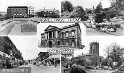
The views are of the Town Hall in the centre, the sunken gardens on Broadway, the Parkinson Rock Garden in Oak Hill Park, Blackburn Road and St James' Church.
The little concrete pier affords some protection to the fishing boats at Portscatho, although it is barely a harbour. Nare Head and the Gull Rock can be seen across Gerrans Bay.
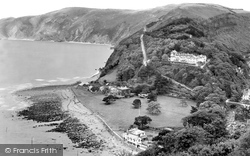
LYNMOUTH, set on the rocky north coast of Devon, was 'discovered' in 1812 by the poet Percy Bysshe Shelley, who stayed here with Harriet Westbrook, his first wife.
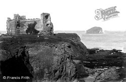
The small island in the background is the Bass Rock.
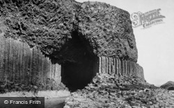
Lying to the north-east of Iona, the uninhabited island of Staffa is famous for its caves and rock formations. Legend has it that the cave was formed when the giant Finn McCoul made the island.
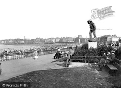
The monument shows a lifeboatman looking out towards the Nayland Rock where the 'Friend of all Nations' capsized when answering distress signals from the 'Persian Empire'.
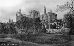
A final view of the Cathedral in all its glory. So much has changed around the world, but St Peter's lives on, looking solid as a rock.
The small beach to the left is at Prechers Rock.
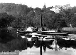
Sharpham Point and nearby Bass Rock were important fishing spots - Stoke Gabriel, on the opposite shore, had twenty salmon boats working at the end of the 19th century.
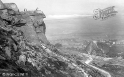
Up above the Cow and Calf rocks is more evidence of quarrying, but in this photograph the heather softens the scene for the Edwardian picnickers taking in the valley view, top right.
Places (4)
Photos (379)
Memories (690)
Books (1)
Maps (23)


