Places
19 places found.
Those places high-lighted have photos. All locations may have maps, books and memories.
- Hill of Mountblairy, Grampian
- Hill of Banchory, Grampian
- Hill of Fearn, Highlands
- Rocky Hill, Isles of Scilly
- Hill of Beath, Fife (near Dunfermline)
- Hill of Drip, Central Scotland
- Hunny Hill, Isle of Wight
- Quarr Hill, Isle of Wight
- Quine's Hill, Isle of Man
- Kite Hill, Isle of Wight
- Broom Hill, Avon
- Merry Hill, West Midlands
- Rose Hill, Derbyshire
- Cinder Hill, West Midlands
- Barton Hill, Avon
- Spring Hill, West Midlands
- Golden Hill, Avon
- West Hill, Yorkshire
- Oak Hill, Staffordshire
Photos
2 photos found. Showing results 681 to 2.
Maps
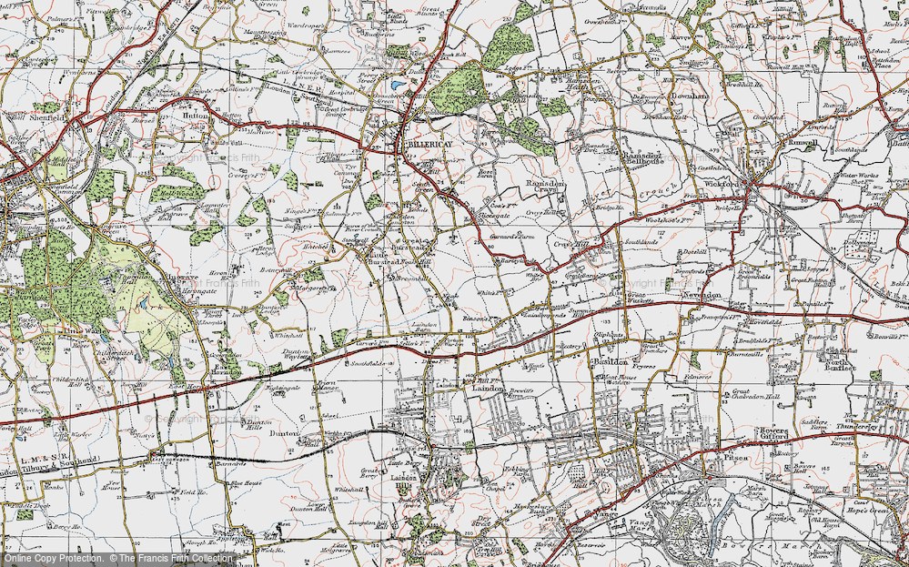
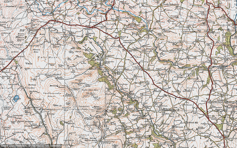
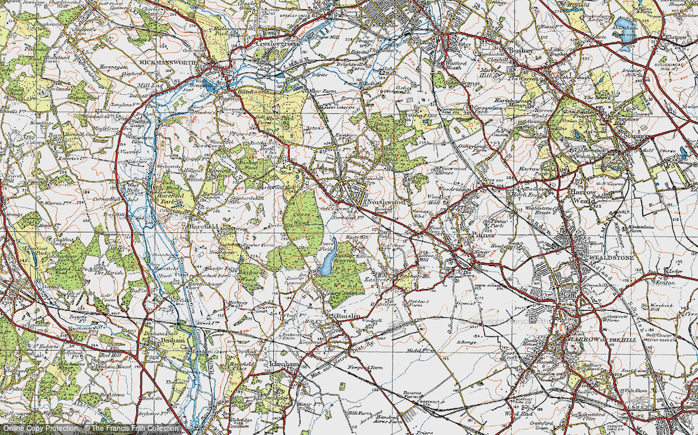
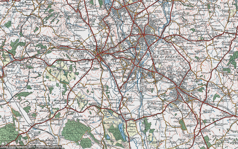
4,410 maps found.
Books
Sorry, no books were found that related to your search.
Memories
3,579 memories found. Showing results 341 to 350.
Walks
Brockworth oh Brockworth, what a lovely village! I grew up there and my dad used to take my brother Melvyn and I for walks up the hill. Castle Hill and Coopers Hill. I remember walks from 1975 onwards, especially on the lower slopes of ...Read more
A memory of Brockworth in 1975 by
Memories Of Benson
My memories of Benson started in 1946/7 when we moved to Sunnyside, which in those days did not have the recreation field. Nor did the village have street lighting apart from a couple in the High Street, one of which was on the ...Read more
A memory of Benson in 1947 by
Reminiscing
I was born in NW London. My first visit to Woburn Sands was about 1950 when my Uncle Ted and Aunt Ada moved here. They lived at the 'Dene' Aspley Hill. Aunt Ada did the housework for Mrs Russell the owner of the 'Dene' and my uncle ...Read more
A memory of Woburn Sands in 1950 by
Days Of My Childhood
As young children my nanna would frequently walk my sister and I up to the Arno to play in the rough ground behind the rose garden. That was way back in the 1950's. She would sit and spend quiet time in the gardens whilst we ...Read more
A memory of Birkenhead by
Jenkins Farm My Grandparents Orchard
I remember visiting my Grandparents orchard which was on the bend at the bottom of the hill leading into Upchurch coming in from Gillingham, and opposite was a cattle farm owned by the Jenkins family. I spent ...Read more
A memory of Upchurch in 1957 by
Watford Way
That's where we lived - above the shops in Queens Mansions! I am sitting here bawling my eyes out from nostalgia!! Downstairs there was an optician and just a bit down the hill there was a hairdresser's shop where gorgeous ...Read more
A memory of Hendon in 1956 by
My Memories Of Broadstone
My earliest memories of Broadstone stem from about 1937 when I was five years old. We lived in Southbourne at the time and frequently went to Broadstone at weekends to visit my "aunt Flo" and her family who lived at ...Read more
A memory of Broadstone by
The Mchugh Family Nbsp 1963 1965
Hello all, my name is Terry McHugh Junior, as I am apparently the first to hit this site I will share with you my early childhood memories of that lovely village in Yorkshire, Eppleby. We moved into Eppleby in ...Read more
A memory of Eppleby by
Saturday Morning Pictures At The Odeon
School days were OK but on Saturday morning the walk/run from Croxley Green down into Ricky was always an adventure. We would go down Scots Hill or down the track opposite the church at the bottom of the ...Read more
A memory of Rickmansworth in 1950 by
Rose View
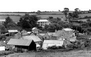
1970 - 1984: As you look at this photo the last building on the right, the barn like cottage with the small window, is Rose View. My mum and dad bought it for £1,000 in 1970, and set to work modernising it as I was due 1971 and my brother ...Read more
A memory of Polgooth in 1970 by
Captions
1,732 captions found. Showing results 817 to 840.
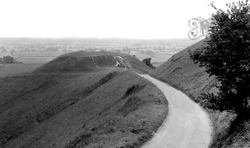
Looking down from the White Horse can be seen the flat-topped Dragon's Hill where, legend has it, St George slew the Dragon; the white markings on the side are where the blood of the Dragon ran down in
Pendleton nestles right in the shadow of Pendle Hill: in fact, the name means 'the houses on Pendle'.
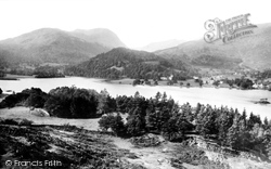
Ullswater snakes into the Lake District hills for seven and a half miles, from Pooley Bridge to Glenridding, and has three major and quite different stretches.
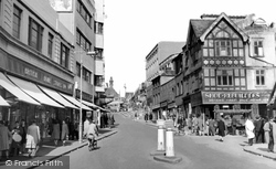
Ahead at the top of the hill is Whitgift Hospital, which was built as a home for 16 men and 16 women in 1596 by the Archbishop Whitgift. The building then marked the edge of the town.
Peveril Castle stands on a hill 260ft above the village, yet despite its looks it was far from impregnable; it was even in Scottish hands for a number of years.
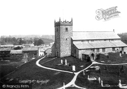
The parish church of St Michael is one of the most interesting in the Lake District.
The photographer is standing on Monks Hill, looking down the winding road that leads to the centre of the original village.
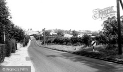
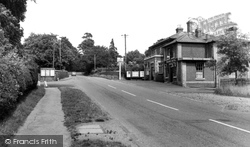
In the distance are the trees of Merks Hill - itself a known site of Roman habitation - and on our left is the ribbon development that had started creeping along this road in the 1920s.
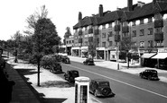
Station Road is readily recognisable as it drops away from the underground station towards Hale Lane and Mill Hill.
What a contrast to the previous photograph this view of Kirkgate, Otley is. The lovely market town lies at the entrance to Wharfedale.
The octagonal building standing in the centre of the high street was erected in 1609 as a market from which the famous locally-produced broadcloth was sold.
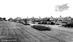
The park is a pleasant interlude between Birkenhead Road and Meols Parade on the seafront.
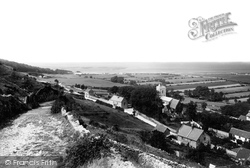
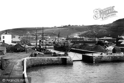
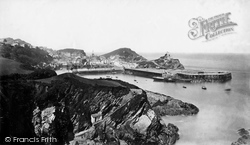
The village, hemmed in by steep hills, nestles within a deep combe. The harbour was once connected with local mines by a railway - the tracks can be seen on the left of the photograph.
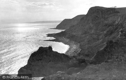
These coastal heights rise between Seatown and Eype Mouth, comprising Ridge Cliff (far centre), Doghouse Hill, and the 508ft summit of Thorncombe Beacon (right) above East Ebb Cove and GreatEbb (near centre
This view looks west from Aberamffra Hill and harbour, just east of Barmouth. The swing bridge is visible on the left.
At the top of Lantern Hill (centre right), 100 feet above sea level, stands the Chapel of St Nicholas, patron saint of sailors, fittingly enough, and also of scholars.
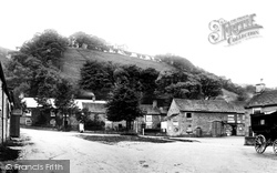
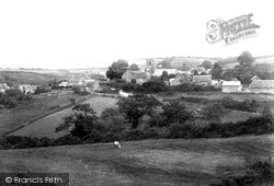
Beside it, dwarfed by a huge sycamore tree, are the thatched Three Horseshoes Inn and tiled Way Cottage (left of centre). The modern houses (left) are down towards Merriott Bridge.
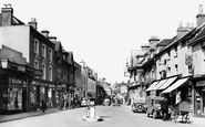
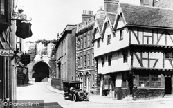
Reaching the top of Steep Hill, the photographer looks west from Exchequer Gate, the medieval gatehouse into the cathedral close, towards the Castle gatehouse.
Botley Station (entrance on the left of the photograph), which is approached via Mill Hill, is well outside the village. One descends to it from a road bridge.
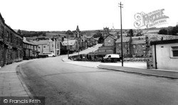
This view of Pateley Bridge, 'capital' of Nidderdale, was taken from Station Square and the bridge over the River Nidd.
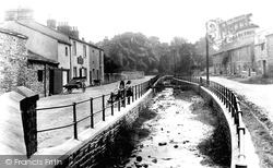
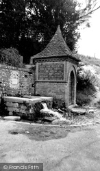
A spring flows beside the village street in Fulking, and on the side of the wellhouse is this text: 'He sendeth springs into the valley which run among the hills.
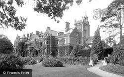
Remodelled in neo-Tudor style in 1900 for Charrington, the London brewer, Frensham Heights was then called Frensham Hill.
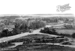
This view from the hill top on to North Road is now blocked by trees planted to prevent erosion. The tram is at the junction of Cotes Avenue.
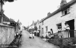
While the harbour area is well known to tourists, the true village of Boscastle climbs a steep hill to the south, where it was by-passed in 1886.
Places (19)
Photos (2)
Memories (3579)
Books (0)
Maps (4410)


